Closest first
Every public access within reach of Kingston
From TWRA’s own access database, with a directions link on each one. Distances are straight-line from Kingston, so the drive is always a bit longer.
Tap a pin for the spot page and directions. Open the full Tennessee fishing map.
Watts Bar Lake
Clinch River
Emory River
What to bring
What to bring fishing near Kingston
Three picks from the smallmouth bass checklist that work for the fish here. Affiliate links: buying through them pays this site a small commission at no extra cost to you.
Spending more? The bigger purchases, compared side by side:
What it looks like
The water around Kingston
Photographs of the lakes and rivers on this page. Drag or swipe for more. Every picture opens that water’s own page.
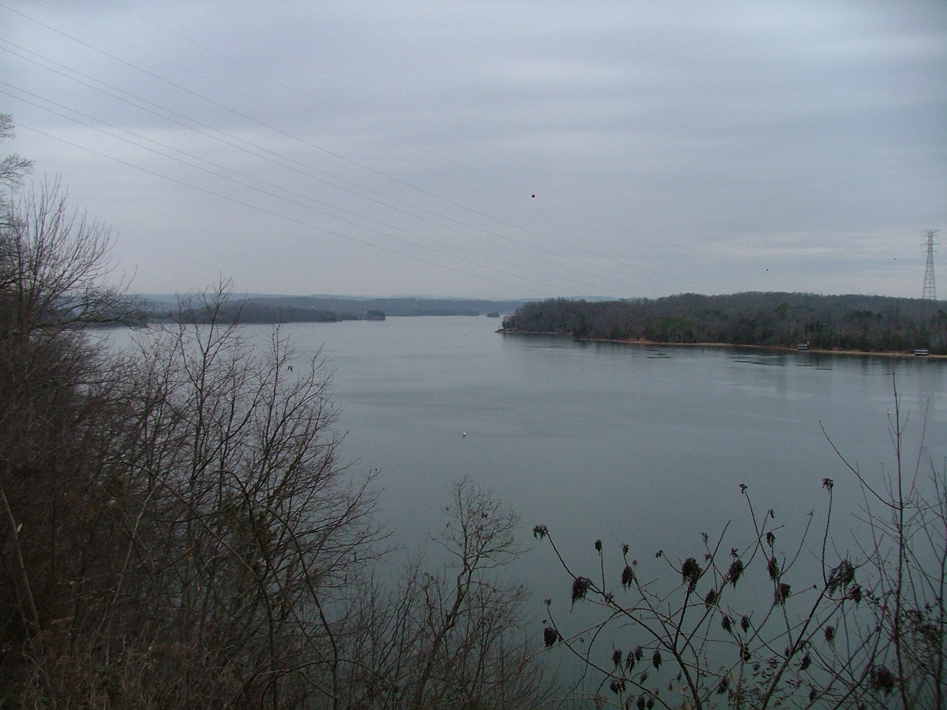 Watts Bar LakeOpen the Watts Bar Lake page →ChristopherM / CC BY 2.5
 Clinch RiverOpen the Clinch River page →Brian Stansberry / CC BY 3.0
 Emory RiverOpen the Emory River page →Brian Stansberry / CC BY 3.0
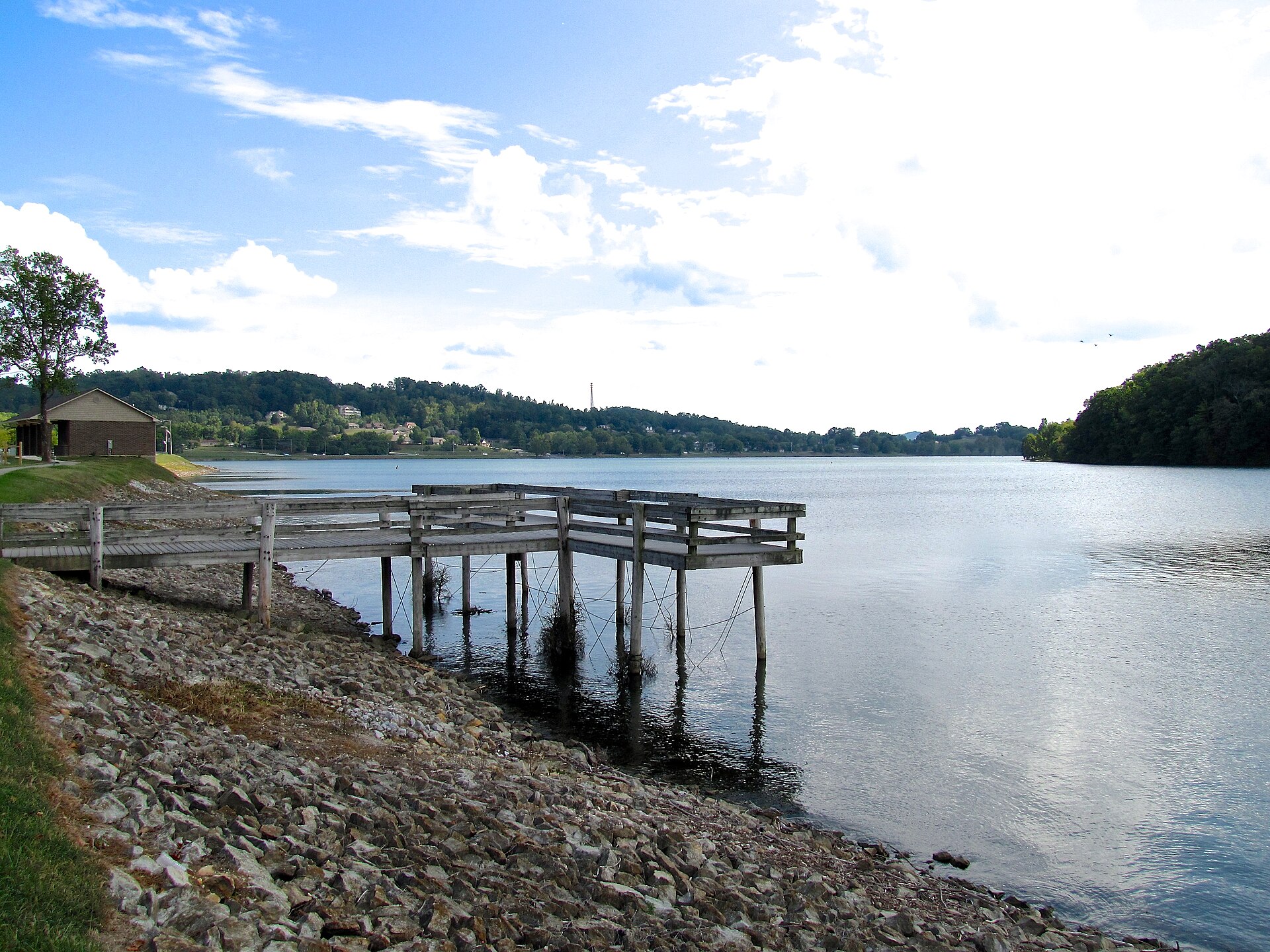 Watts Bar LakeOpen the Watts Bar Lake page →Brian Stansberry / CC BY 4.0
 Clinch RiverOpen the Clinch River page →Brian Stansberry / CC BY 3.0
 Emory RiverOpen the Emory River page →Brian Stansberry / CC BY 3.0
No boat
Bank fishing near Kingston
7 public fishing piers within reach of Kingston. No boat needed for any of them.
Shoreline access in Roane County
Kingston city waterfront and Fort Southwest Point; the Emory River bridges at Harriman and Oakdale, which are the practical sauger-run bank spots; Swan Pond; Caney Creek and Riley Creek recreation areas; the Melton Hill Dam tailwater, where two ramps sit at the dam, one below and one above; Watts Bar Dam tailwater at the southern end; Ladd Landing.
31 public boat launches in Roane County, counted from TWRA’s own access database.
Towns near here
Towns near Kingston
The nearest towns to Kingston with pages of their own. If nothing near Kingston suits, one of these usually does.
Kingston water holds smallmouth bass, spotted bass, crappie, rock bass.