95 Counties · 1,002 Public Access Points · 78 Lakes and RiversTennessee state record fish

Oak Ridge · Anderson County

Fishing Near Oak Ridge, Tennessee

Fort Loudoun Lake, Watts Bar Lake, Melton Hill Lake. Every public launch and pier within about 30 minutes of Oak Ridge, and where to buy what you forgot on the way.

Closest first

Every public access within reach of Oak Ridge

From TWRA’s own access database, with a directions link on each one. Distances are straight-line from Oak Ridge, so the drive is always a bit longer.

Tap a pin for the spot page and directions. Open the full Tennessee fishing map.

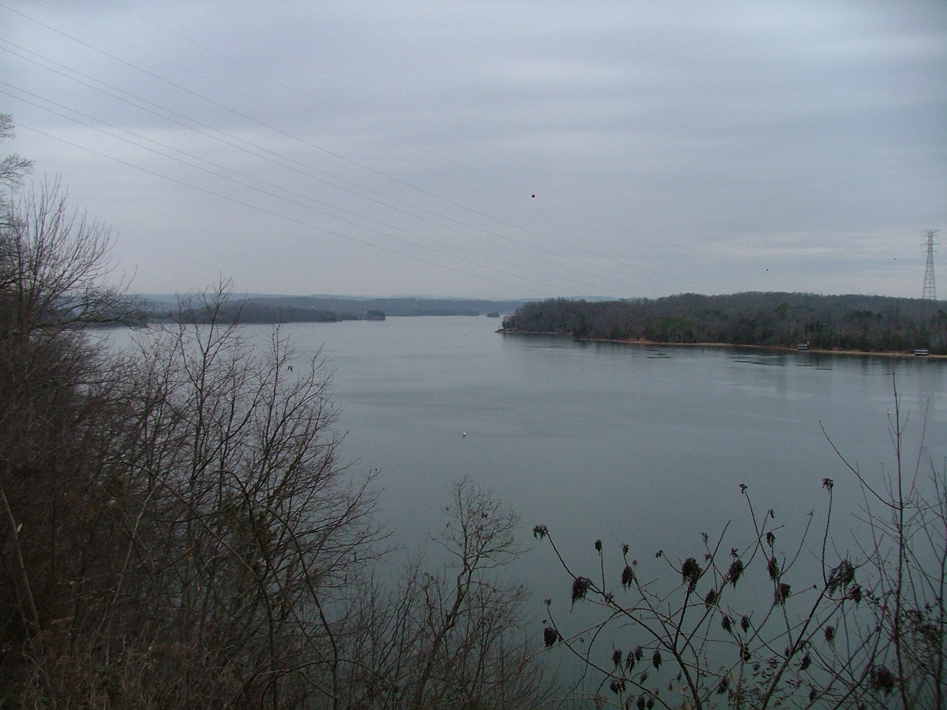
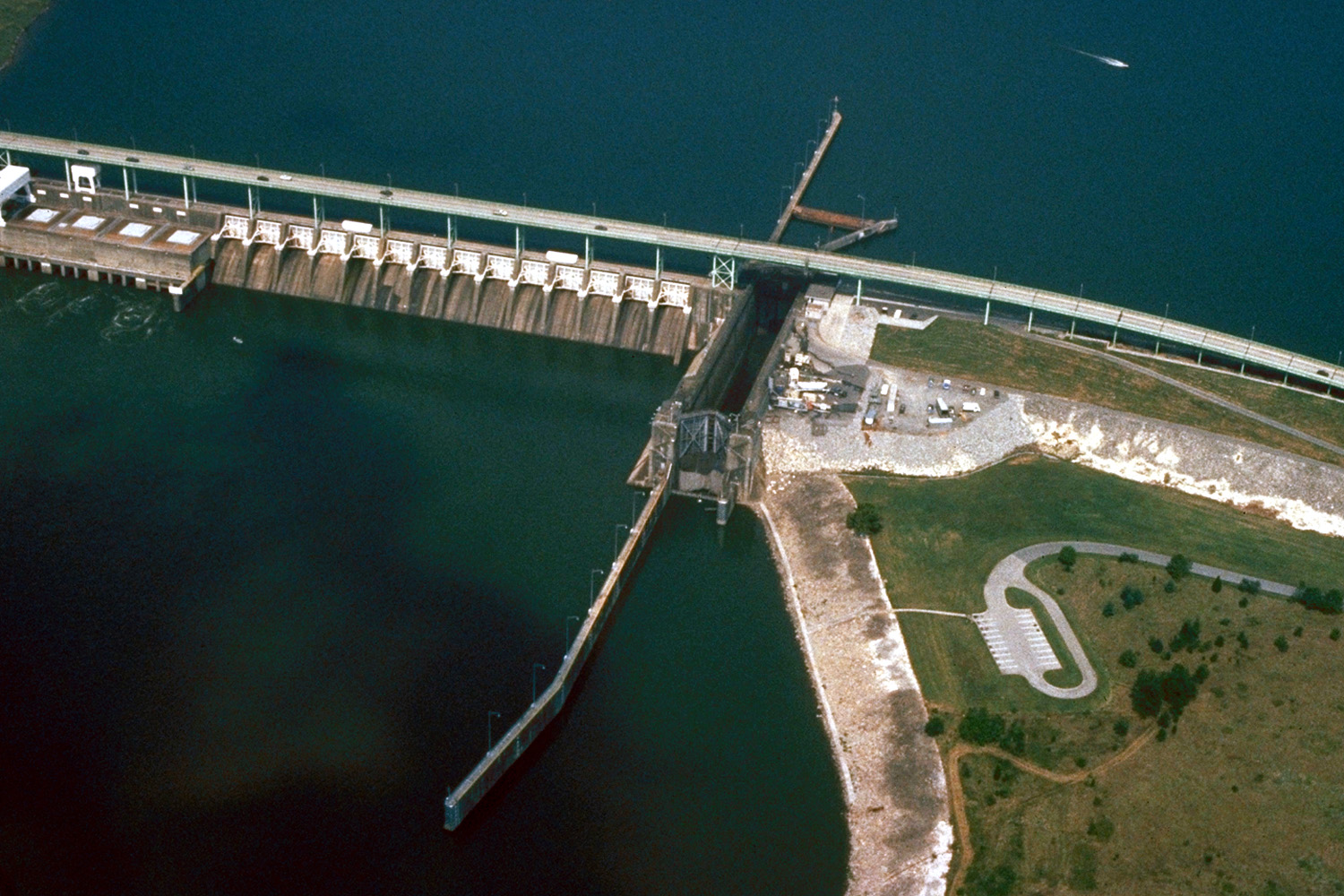
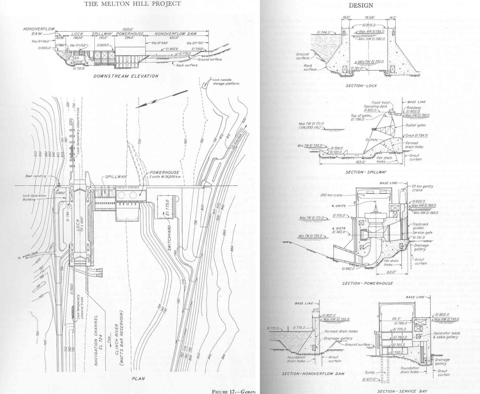
Melton Hill Lake

Watts Bar Lake

Fee not listed1 out of 5facilitiesFishing SiteWatts Bar Lake Fishing Access9 mi from Oak Ridge · Loudon Co.Directions and detail →35.88675, -84.30550Free3.5 out of 5facilitiesBoat Launch · TVAMelton Hill Dam (Downstream)9 mi from Oak Ridge · Roane Co.Off highway 95 at the bridge2 ramps, 2 lanescanoe / kayak landingDirections and detail →35.88780, -84.32299Free3.5 out of 5facilitiesBoat Launch · TWRALittle Emory12 mi from Oak Ridge · Roane Co.1 ramp, 1 laneaccessible parkingDirections and detail →35.95830, -84.47940Free2 out of 5facilitiesBoat Launch · TWRASugar Tree14 mi from Oak Ridge · Roane Co.Off Emory River Road1 ramp, 1 lanecanoe / kayak landingDirections and detail →35.90312, -84.48021Free5 out of 5facilitiesBoat Launch · TVASwan Pond15 mi from Oak Ridge · Roane Co.2 ramps, 2 lanesfishing piercanoe / kayak landingrestroomsaccessible parkingDirections and detail →35.91702, -84.50411Free4.5 out of 5facilitiesBoat Launch · CityLadd Landing15 mi from Oak Ridge · Roane Co.4 ramps, More Than 3 lanesfishing piercanoe / kayak landingrestroomsDirections and detail →35.88570, -84.49190Free4 out of 5facilitiesBoat Launch · TVABussell Ferry15 mi from Oak Ridge · Loudon Co.1 ramp, 2 lanescanoe / kayak landingDirections and detail →35.78740, -84.25410Free3 out of 5facilitiesBoat Launch · TVAKingston Steam Plant16 mi from Oak Ridge · Roane Co.1 ramp, 2 lanesDirections and detail →35.89525, -84.52319Free2.5 out of 5facilitiesBoat Launch · TWRALakewood16 mi from Oak Ridge · Roane Co.1 ramp, 1 lanecanoe / kayak landingDirections and detail →35.88921, -84.52345Fee not listed2 out of 5facilitiesFishing Site · CountyLakewood Fishing Access17 mi from Oak Ridge · Roane Co.Off highway 70 just under the bridge leaving Kingstoncanoe / kayak landingDirections and detail →35.88794, -84.52390Free4.5 out of 5facilitiesBoat Launch · CityGravel Pit17 mi from Oak Ridge · Roane Co.Hwy 70 approx. 0.5 miles west of Kingston1 ramp, 2 lanescanoe / kayak landingrestroomsaccessible parkingDirections and detail →35.87694, -84.52268Free5 out of 5facilitiesBoat Launch · CityKingston City Park17 mi from Oak Ridge · Roane Co.Hwy 70 approx 0.5 miles west of Kingston1 ramp, 2 lanescanoe / kayak landingrestroomsaccessible parkingDirections and detail →35.87750, -84.52420Free2 out of 5facilitiesBoat Launch · TWRAOld Kingston Rd17 mi from Oak Ridge · Roane Co.1 ramp, 1 lanecanoe / kayak landingDirections and detail →35.78184, -84.38849

Melton Hill Lake/Clinch River

Clinch River

Free2.5 out of 5facilitiesBoat Launch · TWRAGallaher10 mi from Oak Ridge · Roane Co.Take Exit 356 of I-40. Go north on Hwy 58, right on Cultom Rd. Ramp at end1 ramp, 1 lanecanoe / kayak landingDirections and detail →35.90720, -84.39420Free1.5 out of 5facilitiesFishing Site · Private LandLewellyn Island Access11 mi from Oak Ridge · Anderson Co.Public Safety Lane off Hwy 61 in Clintonaccessible parkingDirections and detail →36.12759, -84.12545Free2.5 out of 5facilitiesBoat Launch · CountyHighway 61 Bridge12 mi from Oak Ridge · Anderson Co.I-75 to SR 611 ramp, 1 laneDirections and detail →36.12355, -84.11375Free2.5 out of 5facilitiesBoat Launch · TWRAPeach Orchard15 mi from Oak Ridge · Anderson Co.I-75 to SR 61 to Hillvale Raod to Peach Orchard Road1 ramp, 1 laneDirections and detail →36.19088, -84.11958Free3.5 out of 5facilitiesBoat Launch · TVAMiller Island SFA17 mi from Oak Ridge · Anderson Co.River Rd1 ramp, 1 lanerestroomsaccessible parkingDirections and detail →36.20367, -84.09431Free3 out of 5facilitiesBoat Launch · TVAMiller Island Access17 mi from Oak Ridge · Anderson Co.River Rd off US 4411 ramp, 1 lanecanoe / kayak landingaccessible parkingDirections and detail →36.20424, -84.08831Free4 out of 5facilitiesBoat Launch · CityThe Landing17 mi from Oak Ridge · Roane Co.1 ramp, 2 lanescanoe / kayak landingaccessible parkingDirections and detail →35.86674, -84.52187

Fort Loudoun Lake

Free4 out of 5facilitiesMarina · CountyConcord Marina13 mi from Oak Ridge · Knox Co.1 ramp, 2 lanesrestroomsDirections and detail →35.86600, -84.13060Launch fee4 out of 5facilitiesMarina · MarinaFox Road Marina13 mi from Oak Ridge · Knox Co.Kingston Pike to Fox Rd1 ramp, 1 lanerestroomsDirections and detail →35.87550, -84.11580Fee not listed1 out of 5facilitiesMarinaConcord Yacht Club13 mi from Oak Ridge · Knox Co.Directions and detail →35.84876, -84.15118Free4.5 out of 5facilitiesBoat Launch · CountyCarl Cowan Park15 mi from Oak Ridge · Knox Co.Directly off Northshore Drive1 ramp, 1 lanefishing piercanoe / kayak landingrestroomsDirections and detail →35.85060, -84.09650Free5 out of 5facilitiesBoat Launch · TVALenoir City Park Ramp15 mi from Oak Ridge · Loudon Co.1 ramp, 3 lanesfishing piercanoe / kayak landingrestroomsDirections and detail →35.79759, -84.23306Fee not listed1 out of 5facilitiesMarinaFort Loudon Marina15 mi from Oak Ridge · Loudon Co.Directions and detail →35.79550, -84.23830Free4 out of 5facilitiesMarina · MarinaChoto Marina15 mi from Oak Ridge · Knox Co.1 ramp, 1 lanerestroomsDirections and detail →35.81570, -84.14420Free3 out of 5facilitiesBoat Launch · TVALowe’s Ferry15 mi from Oak Ridge · Blount Co.3200 Weatherspoon Rd, Louisville, TN 377771 ramp, 1 laneDirections and detail →35.84835, -84.08022Free2.5 out of 5facilitiesBoat Launch · TVAParks Ferry15 mi from Oak Ridge · Blount Co.1276 Parks Ferry Rd, Friendsville, TN1 ramp, 1 laneDirections and detail →35.80231, -84.16855Free2.5 out of 5facilitiesBoat Launch · TVALakeland Dr15 mi from Oak Ridge · Loudon Co.Lakeland Dr, Lenoir City, TN1 ramp, 2 lanescanoe / kayak landingDirections and detail →35.79810, -84.18140Free3.5 out of 5facilitiesBoat Launch · TVAPolland Creek16 mi from Oak Ridge · Blount Co.Louisville Road to Old Lowe’s Ferry1 ramp, 1 laneaccessible parkingDirections and detail →35.82780, -84.09960Launch fee4.5 out of 5facilitiesBoat Launch · TVAYarberry Campground17 mi from Oak Ridge · Loudon Co.1 ramp, 2 lanescanoe / kayak landingrestroomsDirections and detail →35.77070, -84.21450

Tellico Lake

Emory River

What to bring

What to bring fishing near Oak Ridge

Three picks from the largemouth bass checklist that work for the fish here. Affiliate links: buying through them pays this site a small commission at no extra cost to you.

RodUgly Stik GX2 7 ft medium-heavy casting rodStiff enough to set a hook in grass, tough enough to live in a truck bed.Shop on Amazon →Why it is on the list
ReelAbu Garcia Black Max baitcasting reelAn inexpensive baitcaster that casts cleanly once the brakes are set.Shop on Amazon →Why it is on the list
Soft plasticZoom Trick WormThe Tennessee standard on a Texas rig or weightless along docks and grass edges.Shop on Amazon →Why it is on the list

Spending more? The bigger purchases, compared side by side:

Measured from town

Where to fish near Oak Ridge

The water within reach of Oak Ridge is Watts Bar Lake, Fort Loudoun Lake, Clinch River and 4 more.

Everything on this page is sorted by straight-line distance from Oak Ridge, not by which county it sits in. Several of the closest spots to Oak Ridge are across a county line, which is exactly the kind of thing a county-by-county list hides.

No boat

Bank fishing near Oak Ridge

5 public fishing piers within reach of Oak Ridge. No boat needed for any of them.

Shoreline access in Anderson County

Weir Dam site on the Clinch (TVA, fishing pier, restrooms, ADA); Clear Creek access (TVA, pier, ADA); Clinton Lakefront Park pier; Llewelyn Island access off Public Safety Lane in Clinton, known locally as “the jail” for the adjacent Anderson County Detention Facility, roughly a mile of public bank; about two miles of public bank immediately below Norris Dam; River Road near the town of Norris; Songbird Canoe Access (TVA, ADA); Norris Dam State Park shoreline.

What is in there

Fish and limits around Oak Ridge

Water around Oak Ridge holds largemouth bass, smallmouth bass, crappie, sunfish, striped bass, walleye, saugeye, muskellunge and brown trout.

Melton Hill, largemouth 14″ min; smallmouth 18″ min; striped bass 32–42″ protected range, only one over 42″; muskellunge 1/day at 50″ min with mandatory immediate release otherwise; crappie 15/day, 10″ min. Melton Hill restrictions extend up the Clinch to the Highway 61 bridge in Clinton. Norris, smallmouth 1/day at 18″ min June 1–Oct 15, then 5/day at 15″ min Oct 16–May 31; largemouth 14″ min; striped bass 15″ min Apr 1–Oct 31 and 1/day at 36″ min Nov 1–Mar 31; musky 1/day 36″ min; paddlefish 2/day, season Apr 24–May 31. Clinch tailwater, 14–20″ protected length range on all trout, seven-trout creel, only one over 20″, no bait restrictions. Clear Creek from Hwy 441 up to the second dam is closed to all fishing Nov 1–Mar 31, and possession of bait-harvesting gear there is prohibited. TDEC advises everyone against eating catfish from Melton Hill (PCBs).

From TWRA’s statewide creel and length limits, last updated 4 August 2026. Water-specific exceptions change, so check the current guide before keeping a fish.

Weather

Oak Ridge fishing weather and wind forecast

Thu, Oct 1 night

59°F

Mostly Clear

Wind 0 mph

0% chance of rain

Thu, Oct 1

87°F

Sunny

Wind SW 0 to 5 mph

0% chance of rain

Thu, Oct 1 night

65°F

Partly Cloudy

Wind 0 mph

0% chance of rain

Fri, Oct 2

87°F

Partly Sunny then Chance Showers And Thunderstorms

Wind SW 0 to 10 mph

53% chance of rain

Fri, Oct 2 night

67°F

Chance Showers And Thunderstorms then Showers And Thunderstorms Likely

Wind N 0 to 5 mph

60% chance of rain

Sat, Oct 3

79°F

Showers And Thunderstorms Likely

Wind NE 0 to 5 mph

71% chance of rain

National Weather Service forecast, updated 1:06 AM, Thu, Oct 1.

Sun and moon, Fri, Oct 9

Sunrise7:39 AMEDT
Sunset7:11 PMEDT
First light7:14 AMLast light 7:36 PM
Daylight11 hr 32 minSunrise to sunset
MoonWaning crescent3% lit. New moon in 2 days

9 public boat launches in Anderson County, counted from TWRA’s own access database.

Questions people ask

Fishing near Oak Ridge: common questions

Where is the closest place to fish to Oak Ridge?

Solway Ramp on Melton Hill Lake, about 4 miles from Oak Ridge in Anderson County. It is a boat launch.

How many fishing spots are near Oak Ridge?

There are 40 public access points within about 30 miles of Oak Ridge, 31 of them boat launches, across 7 named waters.

Can I fish near Oak Ridge without a boat?

Yes. Clinton Lakefront Park on Melton Hill Lake/Clinch River has a fishing pier and is about 10 miles from Oak Ridge. There are 5 piers within range in total.

Do I need a license to fish near Oak Ridge?

Yes, anyone 13 and over. A resident annual combination hunt and fish license is $33, a resident one-day all-species license is $11, and a non-resident three-day all-species license is $40. Tennessee sells no non-resident one-day license. Note the $33 combination license does not cover trout, that needs the $21 supplemental.

What is the best lake near Oak Ridge?

Watts Bar Lake carries the most public access within reach of Oak Ridge, followed by Fort Loudoun Lake. Which one fishes best depends entirely on the season and what you are after.

Where can I buy bait near Oak Ridge?

No fly shop verified inside the county, the Clinch is mostly served by guide services and by shops in Knoxville. TWRA records bait “in proximity” (not onsite) at the Hwy 61 Bridge, Miller Island and Peach Orchard accesses, which points to convenience stores rather than a dedicated shop. Sequoyah Lodge & Marina and Stardust Marina (both Andersonville, Norris Lake) have fuel and marina stores. The Oak Ridge gear page has the rest, plus rental and licenses.

What fish can you catch near Oak Ridge?

Mainly largemouth bass, smallmouth bass, crappie, sunfish, striped bass, walleye, saugeye, muskellunge and brown trout.

Oak Ridge water holds largemouth bass, smallmouth bass, crappie, sunfish.

With a guide

Fishing near Oak Ridge with a guide

Local captains who run the water near Oak Ridge are listed on the guides page with their own phone numbers. You call and book with them directly.

Keep going

More Oak Ridge water, and who fishes it

Every guide and charter on this site is listed by the water they run, so you can call the captain direct. Licences, limits and the state record list are one click away too.