95 Counties · 1,002 Public Access Points · 78 Lakes and RiversTennessee state record fish

Tullahoma · Coffee County

Fishing Near Tullahoma, Tennessee

Normandy Lake, Tims Ford Lake, Duck River. Every public launch and pier within about 30 minutes of Tullahoma, and where to buy what you forgot on the way.

Closest first

Every public access within reach of Tullahoma

From TWRA’s own access database, with a directions link on each one. Distances are straight-line from Tullahoma, so the drive is always a bit longer.

Tap a pin for the spot page and directions. Open the full Tennessee fishing map.

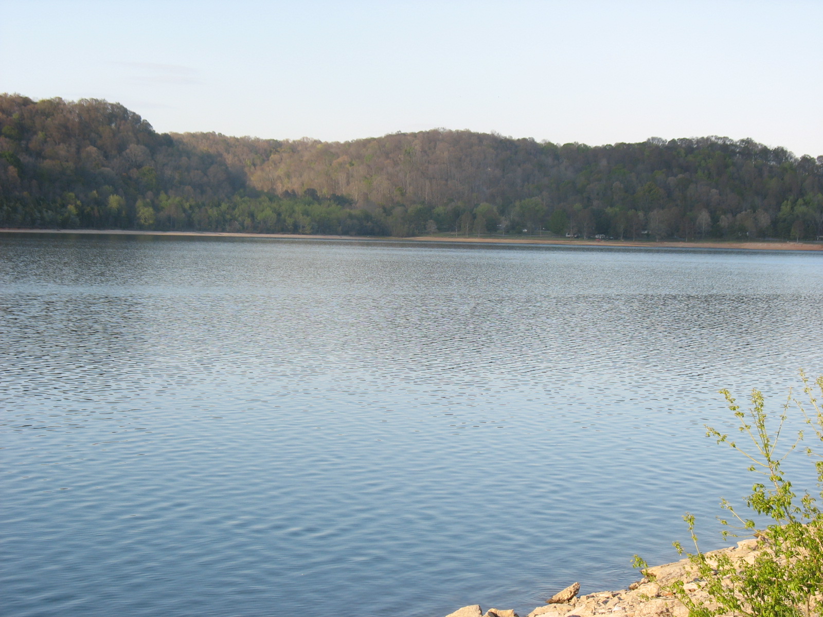
Normandy Lake

Free3.5 out of 5facilitiesBoat Launch · TVAWard’s Chapel Boat Ramp6 mi from Tullahoma · Coffee Co.Ward’s Chapel Road to River Forge Road1 ramp, 2 lanescanoe / kayak landingDirections and detail →35.44369, -86.18408Free4 out of 5facilitiesBoat Launch · TVABarton Springs Boat Ramp6 mi from Tullahoma · Coffee Co.Lyndell Bell Road1 ramp, 2 lanescanoe / kayak landingaccessible parkingDirections and detail →35.45405, -86.21853Free2.5 out of 5facilitiesFishing Site · TVABarton Springs Recreation Area6 mi from Tullahoma · Coffee Co.Normandy Road / Frank Hiles Roadcanoe / kayak landingrestroomsDirections and detail →35.45492, -86.22074Free3.5 out of 5facilitiesBoat Launch · TVABoat Ramp at Dam7 mi from Tullahoma · Coffee Co.Normandy Road / Frank Hiles Road1 ramp, 2 lanescanoe / kayak landingaccessible parkingDirections and detail →35.46665, -86.23840Launch fee4 out of 5facilitiesBoat Launch · TVACedar Point Recreation Area8 mi from Tullahoma · Coffee Co.16th Model Road to Robert’s Ridge Road to Cedar Point Road1 ramp, 2 lanesrestroomsaccessible parkingDirections and detail →35.47066, -86.22527Free2 out of 5facilitiesBoat Launch · TWRABoyd Branch Access8 mi from Tullahoma · Coffee Co.Take Robert’s Ridge Rd and turn right after passing Normandy WMA sign1 ramp, 1 lanecanoe / kayak landingDirections and detail →35.48198, -86.23603Free1.5 out of 5facilitiesFishing Site · TWRANormandy WMA fishing access9 mi from Tullahoma · Coffee Co.Take Robert’s Ridge Rd and turn right at the Normandy WMAcanoe / kayak landingDirections and detail →35.48494, -86.23617

Tims Ford Lake

Free4.5 out of 5facilitiesBoat Launch · TDECPleasant Grove Boat Ramp7 mi from Tullahoma · Franklin Co.Take HWY 130 NW from Winchester to Pleasant Grove Rd on Left, take Pleasant Grove Lane on Left to ramp1 ramp, 1 lanefishing piercanoe / kayak landingrestroomsDirections and detail →35.26630, -86.20010Fee not listed1 out of 5facilitiesMarinaHoliday Landing Marina7 mi from Tullahoma · Franklin Co.Directions and detail →35.26950, -86.24390Free3.5 out of 5facilitiesBoat Launch · TDECNeal’s Bridge7 mi from Tullahoma · Moore Co.From Hwy 55, Cobb Hollow Rd approx. 1 mi, rt on Pleasant Hill Rd 4 mi, left on Ridgeville Rd1 ramp, 2 lanesDirections and detail →35.28082, -86.29258Free4 out of 5facilitiesBoat Launch · TDECRock Creek Boat Ramp8 mi from Tullahoma · Franklin Co.HWY 41A to East Brook Rd on Left past Rock Creek Bridge1 ramp, 2 lanesrestroomsDirections and detail →35.25220, -86.14220Free2.5 out of 5facilitiesBoat Launch · TDECEstill Springs Park9 mi from Tullahoma · Franklin Co.HWY 41A through Estill Springs1 ramp, 1 laneDirections and detail →35.26120, -86.11980Free4.5 out of 5facilitiesBoat Launch · TVALost Creek9 mi from Tullahoma · Moore Co.From Lynchburg take Tanyard Hill Rd approximately 6 miles, then left on Lost Creek Rd1 ramp, 2 lanesrestroomsDirections and detail →35.25800, -86.30370Fee not listed1 out of 5facilitiesMarinaTims Ford Marina10 mi from Tullahoma · Franklin Co.Directions and detail →35.22510, -86.24330Fee not listed1 out of 5facilitiesMarinaLakeview Marina11 mi from Tullahoma · Franklin Co.Directions and detail →35.21113, -86.24730Free4.5 out of 5facilitiesBoat Launch · TDECDevil’s Step Boat Ramp11 mi from Tullahoma · Franklin Co.HWY 41 to HWY 50 W to Fairview Rd, dead ends at ramp1 ramp, 2 lanescanoe / kayak landingrestroomsaccessible parkingDirections and detail →35.20200, -86.16430

Duck River

Free1.5 out of 5facilitiesFishing Site · TWRANormandy Hatchery7 mi from Tullahoma · Bedford Co.1st bridge north of Normandy on Hiles Rd (Huffman Rd)Directions and detail →35.45802, -86.25673Free2.5 out of 5facilitiesPaddling · TVANormandy Dam Ramp7 mi from Tullahoma · Coffee Co.Frank Hiles Rd below Normandy Dam1 ramp, 1 lanecanoe / kayak landingaccessible parkingDirections and detail →35.46132, -86.24534Free2 out of 5facilitiesPaddling · TWRAPollard Boat Launching Area7 mi from Tullahoma · Bedford Co.Intersection at Huffman and Red Hill Rd by bridgecanoe / kayak landingDirections and detail →35.45861, -86.25832Free1.5 out of 5facilitiesFishing Site · TVANormandy Dam7 mi from Tullahoma · Coffee Co.Normandy Road / Frank Hiles Roadcanoe / kayak landingDirections and detail →35.46427, -86.24618Free2 out of 5facilitiesPaddling · TVADement Bridge9 mi from Tullahoma · Bedford Co.Between Normandy and Wartrace on Cortner Rdcanoe / kayak landingDirections and detail →35.46638, -86.29418Free2 out of 5facilitiesPaddling · TVAThree Forks bridge10 mi from Tullahoma · Bedford Co.Take 64-E out of Shelbyville to Haley Rd; 2.5 miles to Three Forsk Bridgecanoe / kayak landingDirections and detail →35.48012, -86.32433Free2 out of 5facilitiesPaddling · TVAMullins Mill Bridge12 mi from Tullahoma · Bedford Co.2-3 miles southeast of Shelbyville on 41-Acanoe / kayak landingDirections and detail →35.46823, -86.37905Free1.5 out of 5facilitiesPaddling · TVAHwy 82 Bridge15 mi from Tullahoma · Bedford Co.Hwy 82 S, 1.75 miles south of downtown Shelbyville, on right.canoe / kayak landingDirections and detail →35.46007, -86.44943Free2.5 out of 5facilitiesBoat Launch · CityShelbyville City Park16 mi from Tullahoma · Bedford Co.Off S. Cannon Blvd.1 ramp, 1 lanecanoe / kayak landingDirections and detail →35.47906, -86.46261Free2 out of 5facilitiesFishing Site · CityFishermans Park16 mi from Tullahoma · Bedford Co.Hwy 231 South in Shelbyville (Downtown)canoe / kayak landingaccessible parkingDirections and detail →35.48121, -86.46295Free2 out of 5facilitiesPaddling · CountyWarners Bridge21 mi from Tullahoma · Bedford Co.Duck River bridge on Warners Bridge Rd; 5-6 miles out of Shelbyvillecanoe / kayak landingDirections and detail →35.50638, -86.54180

Woods Reservoir

Bedford Lake

Elk River

Free2 out of 5facilitiesBoat Launch · OtherDabb’s Ford Bridge13 mi from Tullahoma · Coffee Co.Prairie Plains Road on the Coffee/Franklin Co Line1 ramp, 1 lanecanoe / kayak landingDirections and detail →35.31843, -85.98114Free2 out of 5facilitiesFishing Site · CountyFarris Creek Bridge15 mi from Tullahoma · Moore Co.HWY 50 to Winchester, take HWY 121, left at Lexie Crossroad on Ferris Creek Bridgecanoe / kayak landingDirections and detail →35.16352, -86.31858Free2 out of 5facilitiesBoat Launch · TVAOld Dam Ford18 mi from Tullahoma · Moore Co.From Lois take Wet prong Farris Crk Rd towards Franklin Co. go 5 mi turn rt. On Eddie Bnd, 3 mi rt1 ramp, 1 lanecanoe / kayak landingDirections and detail →35.12415, -86.33230Free2 out of 5facilitiesFishing Site · TVAShiloh Bridge18 mi from Tullahoma · Lincoln Co.From US 64, turn on Old US 64 in Flintville, left on Fish Hatchery Road the go about 3 and 1/4 miles then bear right on Champ Road. Bridge is about 1.5 miles.canoe / kayak landingDirections and detail →35.13846, -86.38341Free2 out of 5facilitiesBoat Launch · CountyDickey Bridge20 mi from Tullahoma · Lincoln Co.East of Fayettville on 64, turn on Champ Road1 ramp, 1 lanecanoe / kayak landingDirections and detail →35.13928, -86.44828Free2 out of 5facilitiesBoat Launch · TVAStump Shoals21 mi from Tullahoma · Lincoln Co.1/2 mile north of US Hwy 64 east of Fayetteville1 ramp, 1 laneDirections and detail →35.14005, -86.47564Free2 out of 5facilitiesBoat Launch · TVAChenault Ford22 mi from Tullahoma · Lincoln Co.1/2 mile south of US Hwy 64 east of Fayetteville at Frito Lay plant1 ramp, 1 lanecanoe / kayak landingDirections and detail →35.14980, -86.51127

What to bring

What to bring fishing near Tullahoma

Three picks from the largemouth bass checklist that work for the fish here. Affiliate links: buying through them pays this site a small commission at no extra cost to you.

RodUgly Stik GX2 7 ft medium-heavy casting rodStiff enough to set a hook in grass, tough enough to live in a truck bed.Shop on Amazon →Why it is on the list
ReelAbu Garcia Black Max baitcasting reelAn inexpensive baitcaster that casts cleanly once the brakes are set.Shop on Amazon →Why it is on the list
Soft plasticZoom Trick WormThe Tennessee standard on a Texas rig or weightless along docks and grass edges.Shop on Amazon →Why it is on the list

Spending more? The bigger purchases, compared side by side:

Measured from town

Where to fish near Tullahoma

The water within reach of Tullahoma is Duck River, Tims Ford Lake, Normandy Lake and 3 more.

Everything on this page is sorted by straight-line distance from Tullahoma, not by which county it sits in. Several of the closest spots to Tullahoma are across a county line, which is exactly the kind of thing a county-by-county list hides.

No boat

Bank fishing near Tullahoma

3 public fishing piers within reach of Tullahoma. No boat needed for any of them.

Shoreline access in Coffee County

Barton Springs Recreation Area’s two fishing piers on Normandy; the bank fishing area at Normandy Dam; Normandy WMA fishing access off Robert’s Ridge Rd; Woods Reservoir’s four public fishing piers connected by a paved greenway at the Morris Ferry Boat and Bank Fishing Access Site, plus one more pier on Pumping Station Road (both in Franklin County but the nearest developed pier network to Coffee); Old Stone Fort State Archaeological Park along the Duck at Manchester; Powers Bridge on the upper Duck.

What is in there

Fish and limits around Tullahoma

Water around Tullahoma holds largemouth bass, smallmouth bass, crappie, bluegill, rock bass, white bass, yellow bass, channel catfish and rainbow trout.

Normandy Reservoir follows statewide reservoir rules, no Coffee-specific exception appears in TWRA’s exceptions list. Rainbow trout are stocked in the Normandy tailwater November through June only, so the trout season is narrow and worth stating explicitly. Woods Reservoir has a designated closed section shown on TWRA’s own map, and full pool elevation is the legal boundary between the reservoir and its tributary streams for harvest restrictions, an unusual rule worth spelling out. TDEC advises against eating channel catfish from Woods Reservoir due to PCB contamination. Duck River generally: bass 5/day combined with no length limits, rock bass 20/day.

From TWRA’s statewide creel and length limits, last updated 4 August 2026. Water-specific exceptions change, so check the current guide before keeping a fish.

Weather

Tullahoma fishing weather and wind forecast

Wed, Sep 30

89°F

Sunny

Wind S 5 mph

0% chance of rain

Wed, Sep 30 night

63°F

Mostly Clear

Wind SSE 5 mph

0% chance of rain

Thu, Oct 1

91°F

Sunny

Wind S 5 to 10 mph

0% chance of rain

Thu, Oct 1 night

67°F

Partly Cloudy

Wind SSE 5 to 10 mph

1% chance of rain

Fri, Oct 2

89°F

Chance Rain Showers then Chance Showers And Thunderstorms

Wind SSW 5 to 10 mph

43% chance of rain

Fri, Oct 2 night

66°F

Chance Showers And Thunderstorms then Rain Showers Likely

Wind E 0 to 5 mph

64% chance of rain

National Weather Service forecast, updated 1:31 PM, Wed, Sep 30.

Sun and moon, Thu, Oct 8

Sunrise6:46 AMCDT
Sunset6:20 PMCDT
First light6:20 AMLast light 6:46 PM
Daylight11 hr 35 minSunrise to sunset
MoonWaning crescent8% lit. New moon in 3 days

7 public boat launches in Coffee County, counted from TWRA’s own access database.

Questions people ask

Fishing near Tullahoma: common questions

Where is the closest place to fish to Tullahoma?

Ward’s Chapel Boat Ramp on Normandy Lake, about 6 miles from Tullahoma in Coffee County. It is a boat launch.

How many fishing spots are near Tullahoma?

There are 40 public access points within about 30 miles of Tullahoma, 23 of them boat launches, across 6 named waters.

Can I fish near Tullahoma without a boat?

Yes. Pleasant Grove Boat Ramp on Tims Ford Lake has a fishing pier and is about 7 miles from Tullahoma. There are 3 piers within range in total.

Do I need a license to fish near Tullahoma?

Yes, anyone 13 and over. A resident annual combination hunt and fish license is $33, a resident one-day all-species license is $11, and a non-resident three-day all-species license is $40. Tennessee sells no non-resident one-day license. Note the $33 combination license does not cover trout, that needs the $21 supplemental.

What is the best lake near Tullahoma?

Duck River carries the most public access within reach of Tullahoma, followed by Tims Ford Lake. Which one fishes best depends entirely on the season and what you are after.

Where can I buy bait near Tullahoma?

The Sportsman’s Corner, 1905 N Jackson St (Suite 200), Tullahoma, TN 37388, the nearest verified independent tackle and outdoor shop. The Tullahoma gear page has the rest, plus rental and licenses.

What fish can you catch near Tullahoma?

Mainly largemouth bass, smallmouth bass, crappie, bluegill, rock bass, white bass, yellow bass, channel catfish and rainbow trout.

Tullahoma water holds largemouth bass, smallmouth bass, crappie, bluegill.

With a guide

Fishing near Tullahoma with a guide

Local captains who run the water near Tullahoma are listed on the guides page with their own phone numbers. You call and book with them directly.

Keep going

More Tullahoma water, and who fishes it

Every guide and charter on this site is listed by the water they run, so you can call the captain direct. Licences, limits and the state record list are one click away too.