95 Counties · 1,002 Public Access Points · 78 Lakes and RiversTennessee state record fish

Bristol · Sullivan County

Fishing Near Bristol, Tennessee

Boone Lake, South Fork Holston River, South Holston Lake. Every public launch and pier within about 30 minutes of Bristol, and where to buy what you forgot on the way.

Closest first

Every public access within reach of Bristol

From TWRA’s own access database, with a directions link on each one. Distances are straight-line from Bristol, so the drive is always a bit longer.

Tap a pin for the spot page and directions. Open the full Tennessee fishing map.

South Fork Holston River

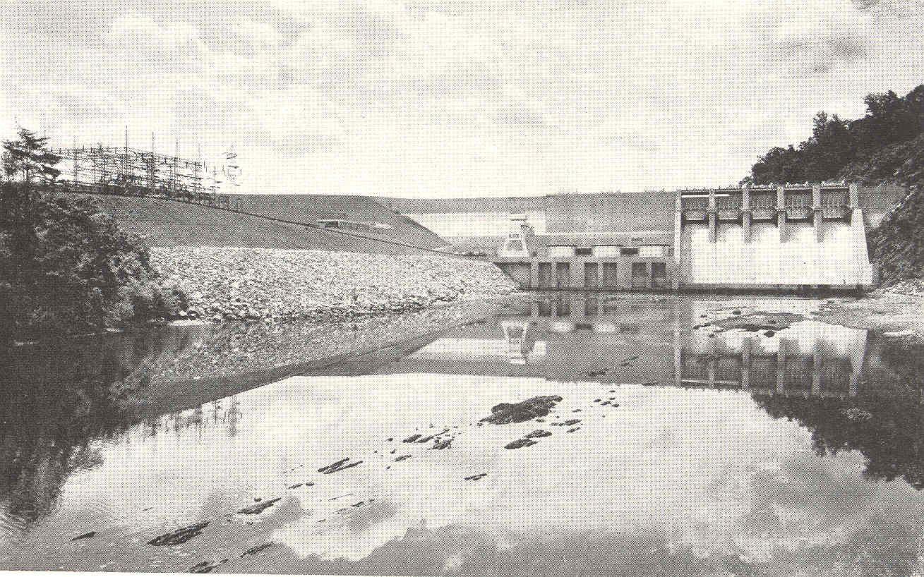
Free2.5 out of 5facilitiesBoat Launch · TVAEmmett Bridge Access6 mi from Bristol · Sullivan Co.1 ramp, 1 lanecanoe / kayak landingDirections and detail →36.52734, -82.11313Free2.5 out of 5facilitiesFishing Site · TVAOsceola Island7 mi from Bristol · Sullivan Co.US 421 to Emmett Road to Holston View Dam Roadrestroomsaccessible parkingDirections and detail →36.52371, -82.10981Free2.5 out of 5facilitiesBoat Launch · TWRABig Springs Access7 mi from Bristol · Sullivan Co.Big Springs Rd, Bluff City, TN1 ramp, 1 laneDirections and detail →36.49750, -82.16165Free1.5 out of 5facilitiesFishing Site · TVATVA Walk-in Access7 mi from Bristol · Sullivan Co.US 421 to Hwy. 44 to River Bend RoadDirections and detail →36.51067, -82.11471Free1.5 out of 5facilitiesFishing Site · TVASouth Holston Dam7 mi from Bristol · Sullivan Co.US 421 to Emmett Road to Holston View Dam RoadDirections and detail →36.52211, -82.09774Free2.5 out of 5facilitiesBoat Launch · CityBluff City Park9 mi from Bristol · Sullivan Co.1 ramp, 1 lanecanoe / kayak landingaccessible parkingDirections and detail →36.47616, -82.26406Free2.5 out of 5facilitiesBoat Launch · TWRAJ. Forrest Thomas Access Area9 mi from Bristol · Sullivan Co.1315 Dry Branch Rd, Bluff City, TN 376181 ramp, 1 laneDirections and detail →36.46362, -82.22448Free2 out of 5facilitiesBoat Launch · TVASmith Shoals18 mi from Bristol · Sullivan Co.Beulah Church Drive, Kingsport, TN1 ramp, 1 lanecanoe / kayak landingDirections and detail →36.45996, -82.45968Free2 out of 5facilitiesFishing Site · TVAFt. Patrick Henry Dam19 mi from Bristol · Sullivan Co.I-81 to Hwy. 36 (Fort Henry Drive) to Wesley Rd.canoe / kayak landingDirections and detail →36.50143, -82.51441

South Holston Lake

South Holston

Boone Lake

Launch fee4.5 out of 5facilitiesMarina · MarinaDavis Marina10 mi from Bristol · Sullivan Co.From Johnson City, take Blountville exit, right on Thomas Bridge Rd, right on Buffalo Rd, marina on left1 ramp, 2 lanesrestroomsDirections and detail →36.49010, -82.32040Fee not listed1 out of 5facilitiesBoat Launch · TVARainbow Bridge11 mi from Bristol · Sullivan Co.Enterprise Rd, Piney Flats, TNDirections and detail →36.47405, -82.31667Launch fee4.5 out of 5facilitiesMarina · MarinaBoone Lake Marina13 mi from Bristol · Sullivan Co.From State HWY 11E in Piney Flats, right onto Allison Rd, straight to Warren Rd, left on Sportsman Dog Road1 ramp, 1 lanefishing pierrestroomsrentalsaccessible parkingDirections and detail →36.46294, -82.35190Free2 out of 5facilitiesBoat Launch · TVASugar Hollow Access13 mi from Bristol · Washington Co.2711 Devault Bridge Rd, Piney Flats TN, 376861 rampDirections and detail →36.46619, -82.35749Fee not listed2.5 out of 5facilitiesBoat Launch · TVADevault Bridge13 mi from Bristol · Sullivan Co.2653 Devault Bridge Rd, Piney Flats, TN1 ramp, 1 laneaccessible parkingDirections and detail →36.46371, -82.36062Fee not listed2.5 out of 5facilitiesBoat Launch · TVAAirport Ramp14 mi from Bristol · Sullivan Co.Hamilton Rd, Piney Flats, TN1 ramp, 1 laneaccessible parkingDirections and detail →36.47070, -82.39623Fee not listed1 out of 5facilitiesMarinaLakeview Marina16 mi from Bristol · Sullivan Co.Directions and detail →36.45335, -82.41424Free3 out of 5facilitiesBoat Launch · TVAPickens Bridge16 mi from Bristol · Washington Co.Pickens Bridge Rd, Johnson City, TN1 ramp, 1 lanecanoe / kayak landingaccessible parkingDirections and detail →36.41900, -82.37516Fee not listed3.5 out of 5facilitiesMarina · OtherJay’s Boat Dock16 mi from Bristol · Washington Co.1 ramp, 1 lanecanoe / kayak landingrestroomsDirections and detail →36.41709, -82.38088Free4.5 out of 5facilitiesBoat Launch · TVABoone Dam17 mi from Bristol · Sullivan Co.3 ramps, 3 lanescanoe / kayak landingrestroomsDirections and detail →36.44746, -82.42803Free3.5 out of 5facilitiesBoat Launch · TVAHwy 11E (New Devault Bridge)17 mi from Bristol · Washington Co.Hwy 11E/Bristol Hwy, Johnson City, TN1 ramp, 2 lanesaccessible parkingDirections and detail →36.39264, -82.35672Fee not listed1 out of 5facilitiesBoat Launch · CityWinged Deer Park17 mi from Bristol · Washington Co.Directions and detail →36.39595, -82.36336Fee not listed1 out of 5facilitiesTVAKnob Creek17 mi from Bristol · Washington Co.Directions and detail →36.38400, -82.36100

Watauga River

Watauga Lake

Ft Patrick Henry Reservoir

Patrick Henry Lake

Wilbur Reservoir

What to bring

What to bring fishing near Bristol

Three picks from the largemouth bass checklist that work for the fish here. Affiliate links: buying through them pays this site a small commission at no extra cost to you.

RodUgly Stik GX2 7 ft medium-heavy casting rodStiff enough to set a hook in grass, tough enough to live in a truck bed.Shop on Amazon →Why it is on the list
ReelAbu Garcia Black Max baitcasting reelAn inexpensive baitcaster that casts cleanly once the brakes are set.Shop on Amazon →Why it is on the list
Soft plasticZoom Trick WormThe Tennessee standard on a Texas rig or weightless along docks and grass edges.Shop on Amazon →Why it is on the list

Spending more? The bigger purchases, compared side by side:

Measured from town

Where to fish near Bristol

The water within reach of Bristol is Boone Lake, South Fork Holston River, Watauga River and 6 more.

Everything on this page is sorted by straight-line distance from Bristol, not by which county it sits in. Several of the closest spots to Bristol are across a county line, which is exactly the kind of thing a county-by-county list hides.

No boat

Bank fishing near Bristol

1 public fishing pier within reach of Bristol. No boat needed for any of them.

Shoreline access in Sullivan County

Osceola Island Recreation Area and the weir dam trails; Bouton Trail trailhead (0.33-mile walk to the river); Old Railroad Bridge on the South Holston; Emmett Bridge; Hickory Tree Bridge; Boatyard Riverfront Park piers, Kingsport; Kingsport Greenbelt piers and ramps; Warriors’ Path State Park fishing pier and shoreline; Steele Creek Park Lake shoreline; Bays Mountain dam (age-restricted); South Holston Reservoir shoreline inside Cherokee National Forest (Flint Mill, Big Creek, Painter Creek areas).

What is in there

Fish and limits around Bristol

Water around Bristol holds largemouth bass, smallmouth bass, spotted bass, crappie, sunfish, rock bass, walleye, northern pike and blue catfish.

– South Holston River (S. Holston Dam to Boone Dam, including Boone Reservoir upstream to the Hwy 11E / DeVault Bridge on the Watauga arm): 16–22″ protected length range on all trout, 7-trout creel, only one over 22″., Closed to all fishing 1 Nov–31 Jan in two defined sections: Hickory Tree Bridge upstream to the Bottom Creek confluence, and the downstream point of Boy’s Island (first island below Weaver Pike Bridge) upstream to the top of the first island above Webb Road Bridge. The closure applies to catch-and-release anglers too., Fort Patrick Henry Reservoir: 16–22″ PLR on rainbow and brown trout, 7-trout creel. Largemouth no length limit, smallmouth 15″ min, spotted bass 15/day no length limit, walleye 5/day 18″ min., South Holston Reservoir: largemouth no length limit, smallmouth 15″ min, spotted bass no creel or length limit, walleye 5/day 18″ min, catfish 20/day with one over 34″, bluegill 50/day., Boone Reservoir: black bass 5/day with 15″ min on largemouth and smallmouth, spotted bass 15/day no length limit, striped bass 1/day at 36″ min, trout 7/day with the 16–22″ PLR., South Fork Holston, North Fork Holston and Holston River (stream sections): smallmouth 13–17″ PL

From TWRA’s statewide creel and length limits, last updated 4 August 2026. Water-specific exceptions change, so check the current guide before keeping a fish.

Weather

Bristol fishing weather and wind forecast

Thu, Oct 1 night

55°F

Mostly Clear

Wind 0 mph

0% chance of rain

Thu, Oct 1

83°F

Sunny

Wind SW 0 to 5 mph

0% chance of rain

Thu, Oct 1 night

59°F

Mostly Clear

Wind SE 0 to 5 mph

0% chance of rain

Fri, Oct 2

84°F

Mostly Sunny then Chance Showers And Thunderstorms

Wind W 0 to 10 mph

35% chance of rain

Fri, Oct 2 night

64°F

Showers And Thunderstorms Likely

Wind N 0 to 5 mph

68% chance of rain

Sat, Oct 3

74°F

Showers And Thunderstorms

Wind NE 0 to 5 mph

88% chance of rain

National Weather Service forecast, updated 1:06 AM, Thu, Oct 1.

Sun and moon, Fri, Oct 9

Sunrise7:31 AMEDT
Sunset7:02 PMEDT
First light7:05 AMLast light 7:28 PM
Daylight11 hr 31 minSunrise to sunset
MoonWaning crescent3% lit. New moon in 2 days

14 public boat launches in Sullivan County, counted from TWRA’s own access database.

Questions people ask

Fishing near Bristol: common questions

Where is the closest place to fish to Bristol?

Emmett Bridge Access on South Fork Holston River, about 6 miles from Bristol in Sullivan County. It is a boat launch.

How many fishing spots are near Bristol?

There are 40 public access points within about 30 miles of Bristol, 25 of them boat launches, across 9 named waters.

Can I fish near Bristol without a boat?

Yes. Boone Lake Marina on Boone Lake has a fishing pier and is about 13 miles from Bristol.

Do I need a license to fish near Bristol?

Yes, anyone 13 and over. A resident annual combination hunt and fish license is $33, a resident one-day all-species license is $11, and a non-resident three-day all-species license is $40. Tennessee sells no non-resident one-day license. Note the $33 combination license does not cover trout, that needs the $21 supplemental.

What is the best lake near Bristol?

Boone Lake carries the most public access within reach of Bristol, followed by South Fork Holston River. Which one fishes best depends entirely on the season and what you are after.

Where can I buy bait near Bristol?

– South Holston River Fly Shop, 608 Emmett Rd, Bristol, (423) 878-2822. Full-service fly shop, wade and float guiding., The Fly Box, 500 Hickory Tree Rd, Bristol, (423) 573-5668. Guided tailwater and backcountry trips., Eastern Fly Outfitters, 6209 Bristol Hwy, Piney Flats, (423) 538-3007., The Fishin Hole, 409 Hillcrest Dr, Bluff City, (423) 391-7703 (second location: The Fishin Hole 2, 101 William J Pvt Dr, Bluff City)., Mel Brothers Tacklebox, 688 Pleasant Hill Rd, Blountville, (423) 574-2248. (Mel Brother Wholesale Bait, 3748 Highway 75, Kingsport, (423) 323-5579.), Wilson’s Bait & Tackle, 2723 Denton Valley Rd, Bristol, (276) 628-7546., Bass Pro Shops, 1 Bass Pro Dr, Bristol, (423) 990-5200. The Bristol gear page has the rest, plus rental and licenses.

What fish can you catch near Bristol?

Mainly largemouth bass, smallmouth bass, spotted bass, crappie, sunfish, rock bass, walleye, northern pike and blue catfish.

Bristol water holds largemouth bass, smallmouth bass, spotted bass, crappie.

With a guide

Fishing near Bristol with a guide

Local captains who run the water near Bristol are listed on the guides page with their own phone numbers. You call and book with them directly.

Keep going

More Bristol water, and who fishes it

Every guide and charter on this site is listed by the water they run, so you can call the captain direct. Licences, limits and the state record list are one click away too.