95 Counties · 1,002 Public Access Points · 78 Lakes and RiversTennessee state record fish

West (TWRA Region 1; geographically northwest Middle Tennessee) Tennessee · County seat Dover

Fishing in Stewart County, Tennessee

Lake Barkley, Kentucky Lake, Cumberland River (below Barkley Dam / through Cumberland City). Where to launch, where to fish from the bank, and where to buy what you forgot.

Every public access point

Fishing access in Stewart County

31 public access points in Stewart County: 29 boat launches, 4 fishing piers and 2 marinas. Each one opens its own page with written directions, coordinates and a link straight to Google Maps.

Tap a pin for the spot page and directions. Open the full Tennessee fishing map.

Kentucky Lake 11 in Stewart County

Free5 out of 5facilitiesBoat Launch · CountyDanville1 ramp, 2 lanesfishing pierrestroomsDirections and detail →36.30386, -87.94655Launch fee5 out of 5facilitiesMarina · Private LandLeatherwood Resort & MarinaRT 79 W to 232 S to Brownfield Rd W to Leatherwood Bay Rd1 ramp, 2 lanesfishing piercanoe / kayak landingrestroomsrentalsaccessible parkingDirections and detail →36.37000, -87.98500Launch fee4.5 out of 5facilitiesBoat Launch · USFSPiney CampgroundUSFS LBL, Piney Campground2 ramps, 1 lanefishing pierrestroomsDirections and detail →36.49080, -88.03294Free3.5 out of 5facilitiesBoat Launch · USFSBoswell LandingUSFS LBL, Road 2331 ramp, 1 lanerestroomsDirections and detail →36.51950, -88.02390Free2 out of 5facilitiesBoat Launch · USFSDry ForkUSFS LBL, Road 2311 ramp, 1 laneDirections and detail →36.52650, -88.01480Launch fee2.5 out of 5facilitiesMarina · MarinaFat Daddy’s1 ramp, 1 laneDirections and detail →36.43400, -88.01383Free2.5 out of 5facilitiesBoat Launch · USFSGinger BayUSFS, Road 2121 ramp, 1 laneDirections and detail →36.62560, -88.03820Free2.5 out of 5facilitiesBoat Launch · USFSGray’s LandingEast of Paris Landing Bridge, HWY 791 ramp, 1 laneDirections and detail →36.44850, -88.04650Free2.5 out of 5facilitiesBoat Launch · USFSJones Creek1 ramp, 1 laneDirections and detail →36.67833, -88.05470Launch fee2.5 out of 5facilitiesBoat Launch · Private LandOld Leatherwood DockLeatherwood Lake Rd off HWY 2321 ramp, 1 laneDirections and detail →36.37630, -87.96430Launch fee4 out of 5facilitiesBoat Launch · USFSPiney South1 ramp, 2 lanesrestroomsDirections and detail →36.48188, -88.04057

Lake Barkley 20 in Stewart County

Free5 out of 5facilitiesBoat Launch · CityLick CreekColson Rd, Dover, TN1 ramp, >3 lanesfishing pierrestroomsaccessible parkingDirections and detail →36.48980, -87.81530Free2 out of 5facilitiesBoat Launch · FWS RefugeBellwood LandingBellwood Landing Road1 ramp, 1 laneDirections and detail →36.50920, -87.76430Free2.5 out of 5facilitiesBoat Launch · USACEBlue CreekRiver Rd, Dover, TN1 ramp, 1 laneDirections and detail →36.52600, -87.86790Free2 out of 5facilitiesBoat Launch · FWS RefugeBull PastureWalker Rd, Indian Mound, TN1 ramp, 1 laneDirections and detail →36.43990, -87.69070Free2 out of 5facilitiesBoat Launch · FWS RefugeCommissaryCommissary Hollow Rd1 ramp, 1 laneDirections and detail →36.47980, -87.73130Free3.5 out of 5facilitiesBoat Launch · USACEDover LandingBehind Court House at corner of Forrest St and W Spring1 ramp, 1 lanecanoe / kayak landingaccessible parkingDirections and detail →36.49001, -87.84211Free4.5 out of 5facilitiesBoat Launch · USACEDyer’s CreekHWY 79, 0.80 mile North of Barkley Bridge1 ramp, 2 lanesrestroomsaccessible parkingDirections and detail →36.50010, -87.83120Free2 out of 5facilitiesBoat Launch · FWS RefugeFron Bridge RampRefuge entrance at Bear Springs, HWY 491 ramp, 1 laneDirections and detail →36.47610, -87.73450Free4 out of 5facilitiesBoat Launch · USFSGatlin PointForest Service Rd 229 USFS LBL1 ramp, 1 lanerestroomsDirections and detail →36.56340, -87.90710Free3 out of 5facilitiesBoat Launch · USACEGuices CreekHWY 149 East of Cumberland City, TN1 ramp, 1 laneDirections and detail →36.39960, -87.61760Free3.5 out of 5facilitiesBoat Launch · USACEHickman CreekHickman Creek Rd, Dover, TN1 ramp, 1 laneDirections and detail →36.49470, -87.86440Free3 out of 5facilitiesBoat Launch · USFSNeville BayForest Service Rd 214 USFS LBL1 ramp, 1 lanerestroomsDirections and detail →36.61370, -87.91510Free2 out of 5facilitiesBoat Launch · FWS RefugeNorth Cross CreekLower Cross Creek Rd, Indian Mound, TN1 ramp, 1 laneDirections and detail →36.48310, -87.71200Free2 out of 5facilitiesBoat Launch · FWS RefugeRefuge Ramp #2Elk entrance of Refuge1 ramp, 1 laneDirections and detail →36.42900, -87.69610Free2 out of 5facilitiesBoat Launch · FWS RefugeRefuge Ramp #3HWY 491 ramp, 1 laneDirections and detail →36.45130, -87.74970Free2 out of 5facilitiesBoat Launch · FWS RefugeRefuge Ramp #4Refuge enterance at Bear Springs HWY 491 ramp, 1 laneDirections and detail →36.47170, -87.73280Free2.5 out of 5facilitiesBoat Launch · USACERiverbendRiverbend Rd off HWY 461 ramp, 1 laneDirections and detail →36.41140, -87.65920Free2 out of 5facilitiesBoat Launch · FWS RefugeSpout SpringsSpout Springs Rd off HWY 2331 ramp, 1 laneDirections and detail →36.44760, -87.72090Free3 out of 5facilitiesBoat Launch · USACETobacco PortTobbacco Port Boatdock Rd, Bumpus Mills, TN1 ramp, 1 laneDirections and detail →36.64120, -87.88990Free3 out of 5facilitiesBoat Launch · TVAWells CreekHWY 233 West of Cumberland City, TN1 ramp, 1 laneDirections and detail →36.39710, -87.66070

What to bring

What to bring fishing in Stewart County

Three picks from the largemouth bass checklist that work for the fish here. Affiliate links: buying through them pays this site a small commission at no extra cost to you.

RodUgly Stik GX2 7 ft medium-heavy casting rodStiff enough to set a hook in grass, tough enough to live in a truck bed.Shop on Amazon →Why it is on the list
ReelAbu Garcia Black Max baitcasting reelAn inexpensive baitcaster that casts cleanly once the brakes are set.Shop on Amazon →Why it is on the list
Soft plasticZoom Trick WormThe Tennessee standard on a Texas rig or weightless along docks and grass edges.Shop on Amazon →Why it is on the list

Spending more? The bigger purchases, compared side by side:

Stewart County at a glance

Stewart County boat ramps and fishing access

Stewart County has 31 public fishing access points: 29 boat ramps, 4 fishing piers and 2 marinas, on 2 lakes, rivers and creeks.

29boat ramps
4fishing piers
2marinas
2lakes, rivers and creeks

The big water in Stewart

Main fishing waters in Stewart County

What each of these is actually known for, and what you can expect to catch.

Cumberland River impoundment · 57,920 ac total, ~10,350 ac in Tennessee · US Army Corps of…

Lake Barkley

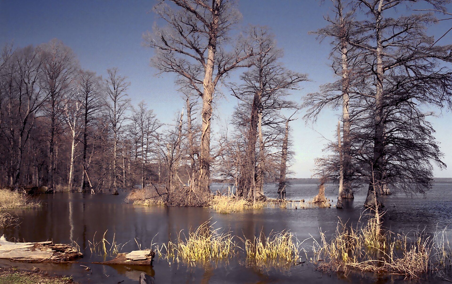
Lick, Long and Dyer creeks off the main channel are the named largemouth areas; full pool arrives around 1 May and the lake drops toward winter pool after 4 July, so the shallow-cover bite is a spring event.

largemouthcrappieblue/channel/flathead catfishsauger
Tennessee River impoundment · 160,000+ ac total; forms Stewart’s western border with Henry…

Kentucky Lake

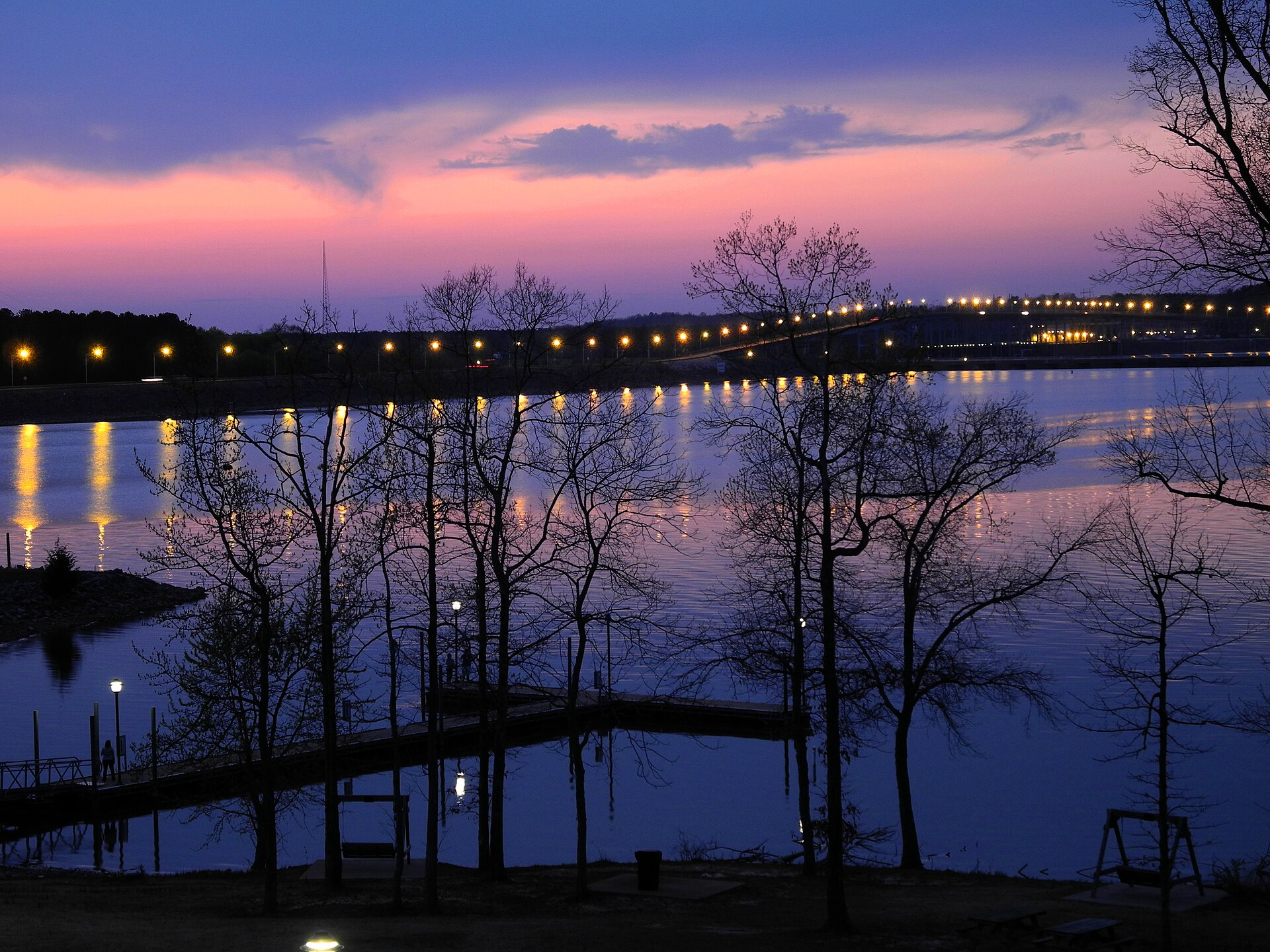
The Stewart County shoreline is the quiet east side around Leatherwood Bay and the Danville/Big Sandy stretch, fished for ledges and stump flats rather than the developed Paris Landing side.

largemouthsmallmouthcrappiecatfish
river · USACE

Cumberland River (below Barkley Dam / through Cumberland City)

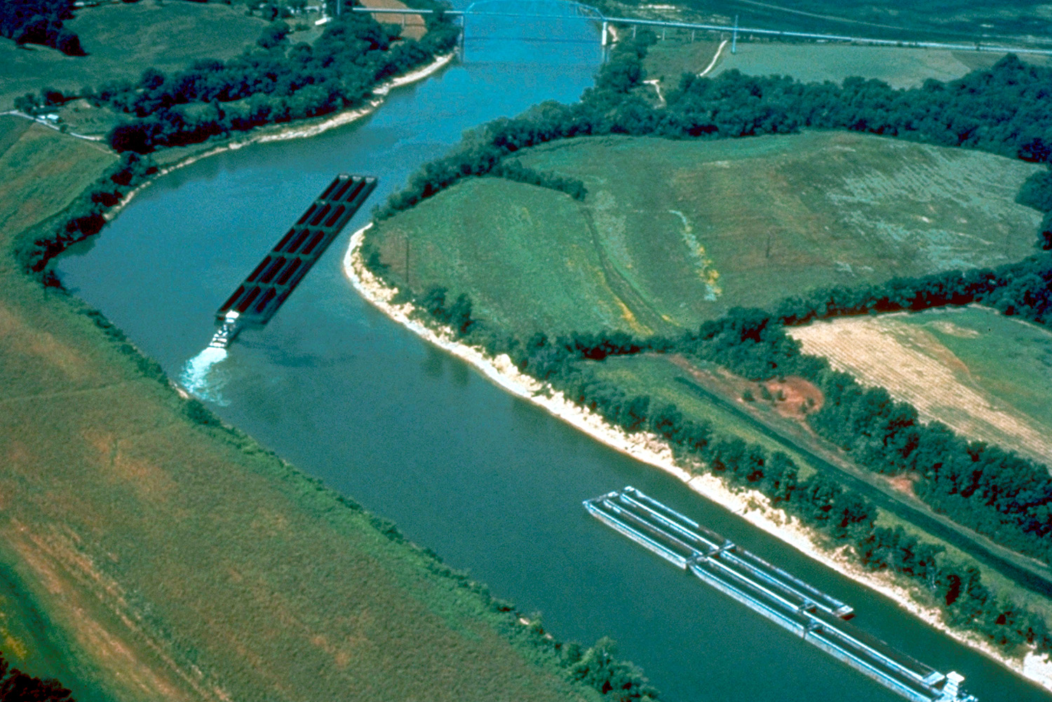
The tailwater and the Cumberland City steam-plant discharge stretch are cold-weather catfish and sauger water.

catfishsaugerwhite bassskipjack

No boat, or your own boat

Bank fishing and launching in Stewart County

Fishing from the bank in Stewart County

Cross Creeks NWR pool banks and levees (15 Mar–31 Oct, daylight only; no fishing from designated bridges); Standing Rock Creek road crossings; Fort Donelson National Battlefield river frontage on the Cumberland at Dover; Bards Lake shoreline; Leatherwood Bay shoreline; LBL lakeshore along the Trace and the Fort Henry/Piney area.

Getting a boat on the water in Stewart County

Leatherwood Resort & Marina (Kentucky Lake, Stewart County). Piney Campground boat launch and Whenever Watersports kayak/paddleboard rental kiosk at Piney Campground, Dover. Bards Lake is no-wake and effectively a paddle/jonboat lake.

Cross Creeks pools are slow-speed/minimum-wake only and boats must be removed daily. The Barkley–Kentucky Lake canal at Cumberland River mile 32.8 lets you run between the two reservoirs.

Two different trips

Visiting Stewart County versus fishing it like a local

Where visitors get pointed in Stewart County

Land Between the Lakes National Recreation Area (Homeplace, Elk & Bison Prairie, The Trace); Fort Donelson National Battlefield and National Cemetery, Dover; Dover Hotel (Surrender House); Cross Creeks NWR wildlife drive; Leatherwood Bay.

Where Stewart County locals actually go

Standing Rock Creek trout stockings; the Cross Creeks numbered pools (Pool Two, Four, Five, Six, Fourteen), shallow moist-soil impoundments that fish like farm ponds and are almost never fished by non-locals; Bards Lake; the back of Rushing Bay outside the 1 Nov–15 Mar closure; Byrd Bay and Panther Bay on the LBL side; Elk Creek Reservoir crappie.

Rules and record fish

Limits and records for Stewart County water

Creel and length limits in Stewart County

Barkley and Kentucky Lake both run crappie 20/day with a 10″ minimum and black bass 5/day with a 15″ minimum on largemouth and smallmouth (spotted bass no length limit); catfish unlimited under 34″ with one over. Bards Lake: trotlines and limblines prohibited, jugs 1 Oct–21 Mar at 10 per person, 20 redear/day, 15 crappie.

Cross Creeks NWR: 15 Mar–31 Oct daylight only, no trotlines/limblines/jugs/slat baskets, no bows and arrows, boats removed daily, Barkley limits apply, refuge may close for flooding or nesting bald eagles. Rushing Bay back half closed 1 Nov–15 Mar. Kentucky Lake reciprocal with Kentucky from the Ned McWherter Bridge (US 79/TN 76) north to Eggner’s Ferry Bridge, excluding the Blood River embayment. LBL requires the relevant state’s license depending on which side you’re fishing.

State record fish from Stewart County water

– Blue catfish, 122 lb 3 oz, Barkley Reservoir, Micka Burkhart, 28 June 2023 (current Class A state record)., Longnose gar, 38 lb 3 oz, Barkley Reservoir, Mathew A. Norton, 19 April 2002., Shortnose gar, 7 lb 3 oz, Cross Creeks (Barkley Res.), Stephanie Flood, 13 June 2014, Cross Creeks is in Stewart County., Spotted gar, 10 lb 10 oz, Cross Creeks (Barkley Res.), Keith Edward Bartley, 28 April 2014., Green sunfish, 1 lb 4 oz, North Cross Creek, Dwight M. Lehman, 8 June 1991, North Cross Creek is in Stewart County.

29 public boat launches in Stewart County, counted from TWRA’s own access database.

Questions people actually ask

Stewart County fishing questions

Where can I fish from the bank in Stewart County?

Cross Creeks NWR pool banks and levees (15 Mar–31 Oct, daylight only. Also no fishing from designated bridges), and standing rock creek road crossings. Stewart County has 4 public fishing piers listed in TWRA’s access database.

How many public boat ramps are in Stewart County?

TWRA’s access database lists 29 boat launches in Stewart County, plus 2 marinas. Most of them are on Lake Barkley. Every one is listed further up this page with its owner and lane count.

Do I need a fishing license to fish in Stewart County?

Yes. Anyone 13 and over needs a Tennessee fishing license, and there is no license required for ages 12 and under. A resident annual combination hunt and fish license is $33, a resident one-day all-species license is $11, and a non-resident three-day all-species license is $40. Tennessee has no non-resident one-day license. Buy online at gooutdoorstennessee.com, from a county clerk or from a licensed agent. Licenses are digital, nothing arrives in the post.

What fish can you catch in Stewart County?

The main species across Stewart County water are largemouth bass, smallmouth bass, crappie, striped bass, white bass, sauger, catfish, gar and skipjack herring. Each water body on the fishing spots page lists what it is actually known for, which is not always the same thing.

Does my Tennessee license cover trout in Stewart County?

Not automatically. The $33 resident combination hunt and fish license does not cover trout, and neither does the county-of-residence license or the cheaper no-trout short-term options. Those need the $21 annual trout supplemental added on. The Sportsman licenses and every non-resident all-species license already include trout. There is no designated trout water in Stewart County, but it is worth knowing before you drive to a tailwater elsewhere in the state.

What are the creel limits in Stewart County?

Barkley and Kentucky Lake both run crappie 20/day with a 10″ minimum and black bass 5/day with a 15″ minimum on largemouth and smallmouth (spotted bass no length limit); catfish unlimited under 34″ with one over. Bards Lake: trotlines and limblines prohibited, jugs 1 Oct–21 Mar at 10 per person, 20 redear/day, 15 crappie Cross Creeks NWR: 15 Mar–31 Oct daylight only, no trotlines/limblines/jugs/slat baskets, no bows and arrows, boats removed daily, Barkley limits apply, refuge may close for flooding or nesting bald eagles Always check the current TWRA guide before you keep anything, because water-specific exceptions change.

Where can I buy bait and tackle in Stewart County?

– Swan’s Bait and Tackle, 1601 Highway 79, Dover, (931) 305-6043. Listed on YellowPages. There is a fuller list on the Stewart County gear page, including anywhere renting boats or kayaks and the nearest big-box store.

Where do locals fish in Stewart County?

Standing Rock Creek trout stockings. the Cross Creeks numbered pools (Pool Two, Four, Five, Six, Fourteen), shallow moist-soil impoundments that fish like farm ponds and are almost never fished by non-locals. Bards Lake.

The water itself

Lakes and rivers in Stewart County

Each of these has a page of its own covering the whole water, not just the Stewart County end of it, with every public access point on it and what it holds.

Stewart County water holds largemouth bass, smallmouth bass, crappie, striped bass.

Statewide limits: 5 black bass, 15 crappie at 10 inches, 2 stripers at 15 inches, 7 trout.

About this list

Where the Stewart County access list comes from

The 31 access points above come from the Tennessee Wildlife Resources Agency’s public access database, which is why each one names the agency that owns or manages it. A state or TVA ramp is usually free. A Corps of Engineers site, a state park ramp or a marina often is not.

The waters, species and local notes are researched separately, county by county, against TWRA’s own reservoir pages, TVA, the US Army Corps of Engineers and Tennessee State Parks.

Ramps close for repairs, gravel roads wash out and regulations change. Treat anything here as a starting point and call ahead if you are driving a long way for it.

By town instead

Towns near Stewart County

These pages measure from the middle of town rather than the county line, which is usually the number you actually care about.

4 public fishing piers in Stewart County, no boat needed.

Keep going

More Stewart County water, and who fishes it

Every guide and charter on this site is listed by the water they run, so you can call the captain direct. Licences, limits and the state record list are one click away too.

Weather alerts, power outages and road closures in Stewart County right now: Stewart County conditions.