Every public access point
Fishing access in Carroll County
1 public access point in Carroll County: 1 boat launch and 1 fishing pier. Each one opens its own page with written directions, coordinates and a link straight to Google Maps.
Tap a pin for the spot page and directions. Open the full Tennessee fishing map.
Maples Creek Lake 1 in Carroll County
What to bring
What to bring fishing in Carroll County
Three picks from the largemouth bass checklist that work for the fish here. Affiliate links: buying through them pays this site a small commission at no extra cost to you.
Spending more? The bigger purchases, compared side by side:
What it looks like
Carroll County water
Photographs of the water this page covers. Every picture opens that water’s own page. Drag or swipe to see the rest.
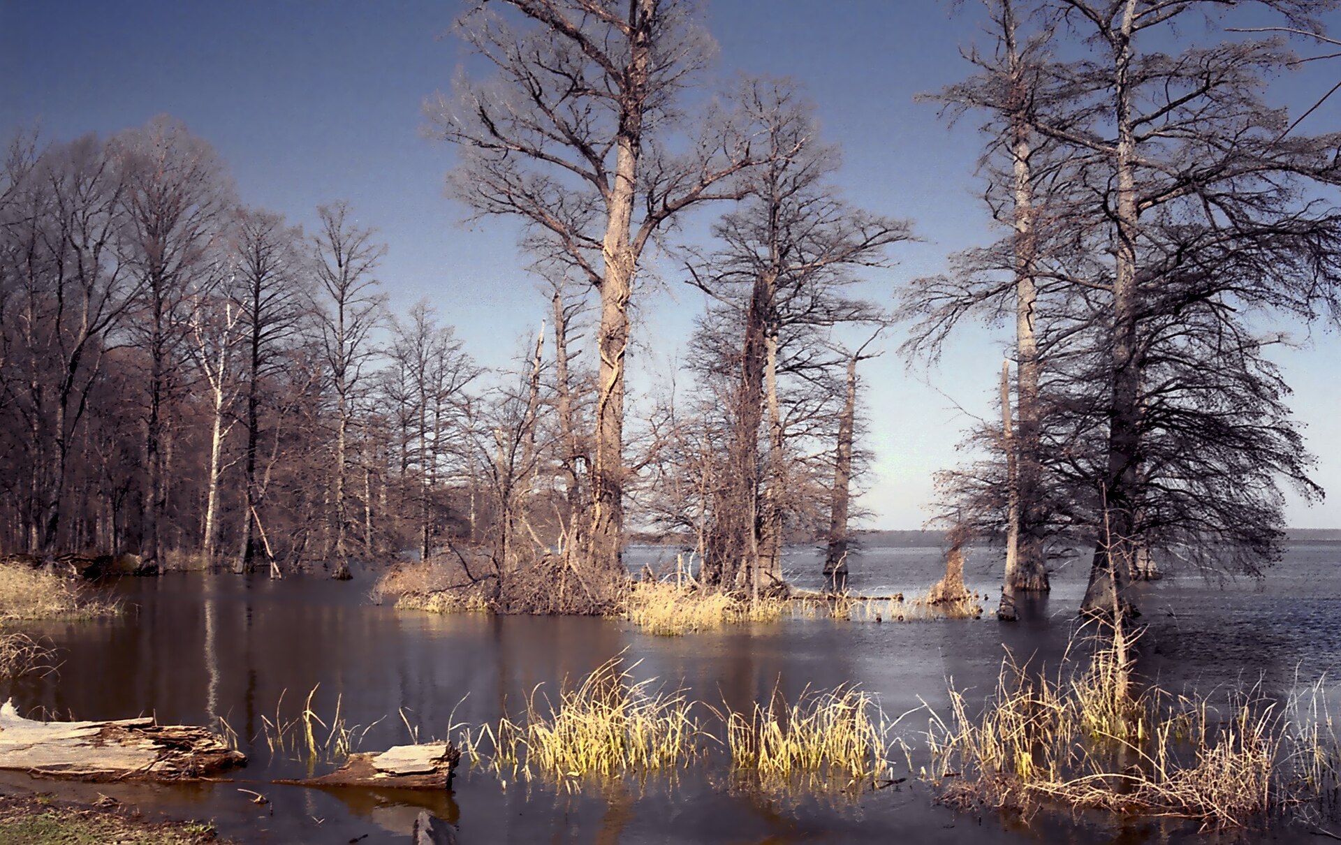 Reelfoot LakeOpen the Reelfoot Lake page →User:JeremyA / CC BY-SA 2.5
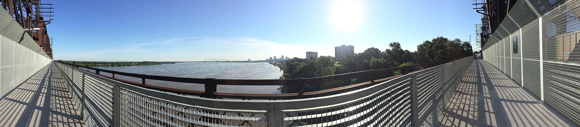 Mississippi RiverOpen the Mississippi River page →Ceptember / CC BY-SA 4.0
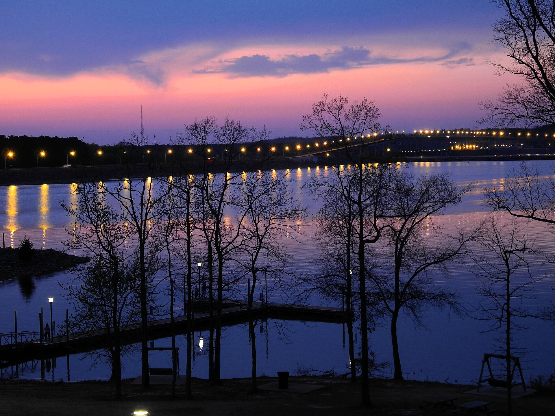 Pickwick LakeOpen the Pickwick Lake page →Kbh3rd / CC BY-SA 3.0
 Obion RiverOpen the Obion River page →David.k.hochreiter / CC BY-SA 3.0
 Forked Deer RiverOpen the Forked Deer River page →Malepheasant at en.wikipedia / Public domain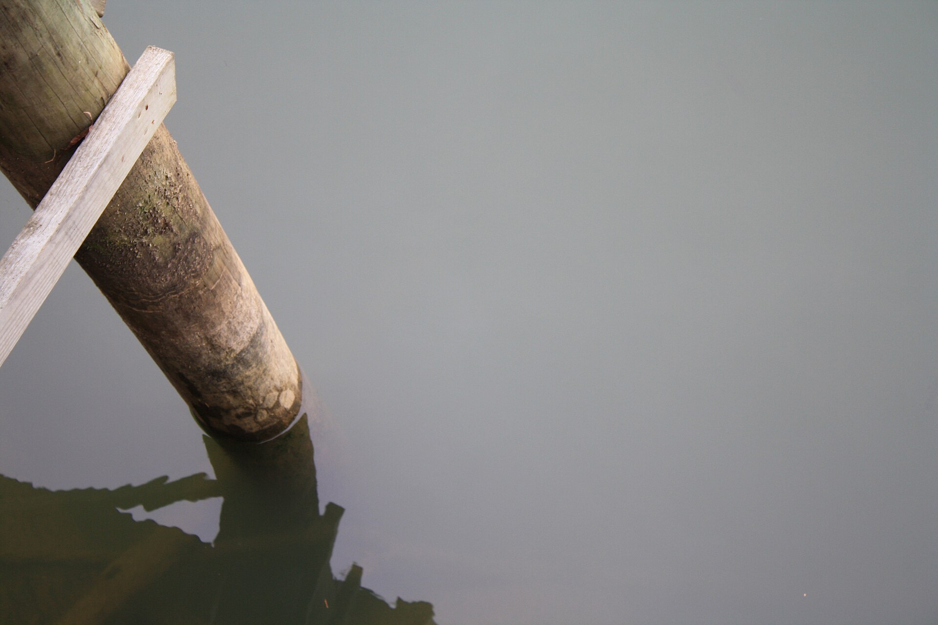
1 public boat launches in Carroll County, counted from TWRA’s own access database.
Carroll County water holds largemouth bass, crappie, bluegill, redear sunfish.
Statewide limits: 5 black bass, 15 crappie at 10 inches, 2 stripers at 15 inches, 7 trout.
By town instead
Towns near Carroll County
These pages measure from the middle of town rather than the county line, which is usually the number you actually care about.
1 public fishing pier in Carroll County, no boat needed.
Keep looking
Counties next to Carroll
Fish do not respect county lines. These are the nearest counties to Carroll with public water of their own. Each one opens its own page.
Weather alerts, power outages and road closures in Carroll County right now: Carroll County conditions.