95 Counties · 1,002 Public Access Points · 78 Lakes and RiversTennessee state record fish

Crossville · Cumberland County

Fishing Near Crossville, Tennessee

Watts Bar Lake, Clear Creek, Bryd Lake. Every public launch and pier within about 30 minutes of Crossville, and where to buy what you forgot on the way.

Closest first

Every public access within reach of Crossville

From TWRA’s own access database, with a directions link on each one. Distances are straight-line from Crossville, so the drive is always a bit longer.

Tap a pin for the spot page and directions. Open the full Tennessee fishing map.

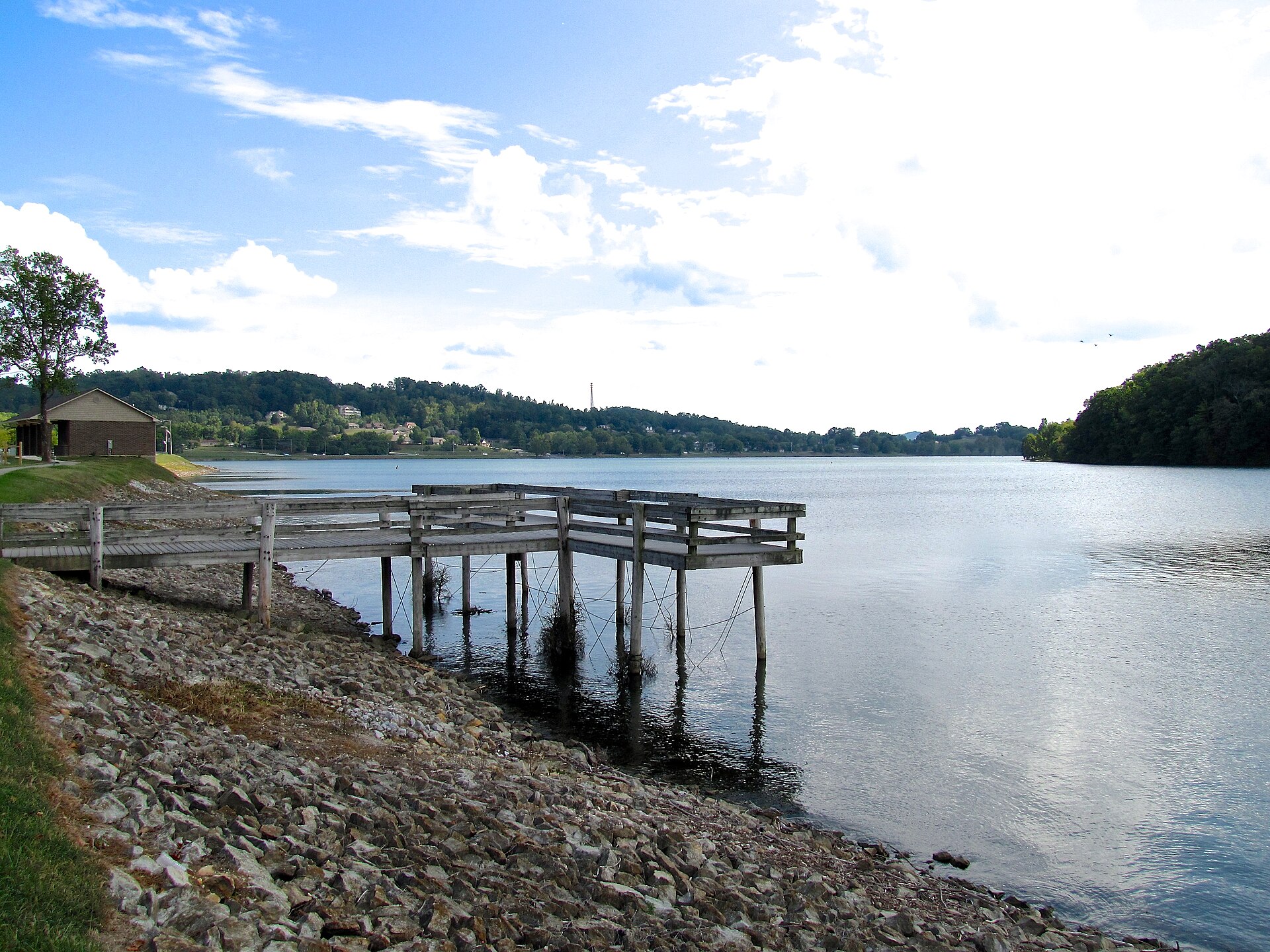
Bryd Lake

Meadow Park Lake

Town of Monterey Meadow Creek Lake

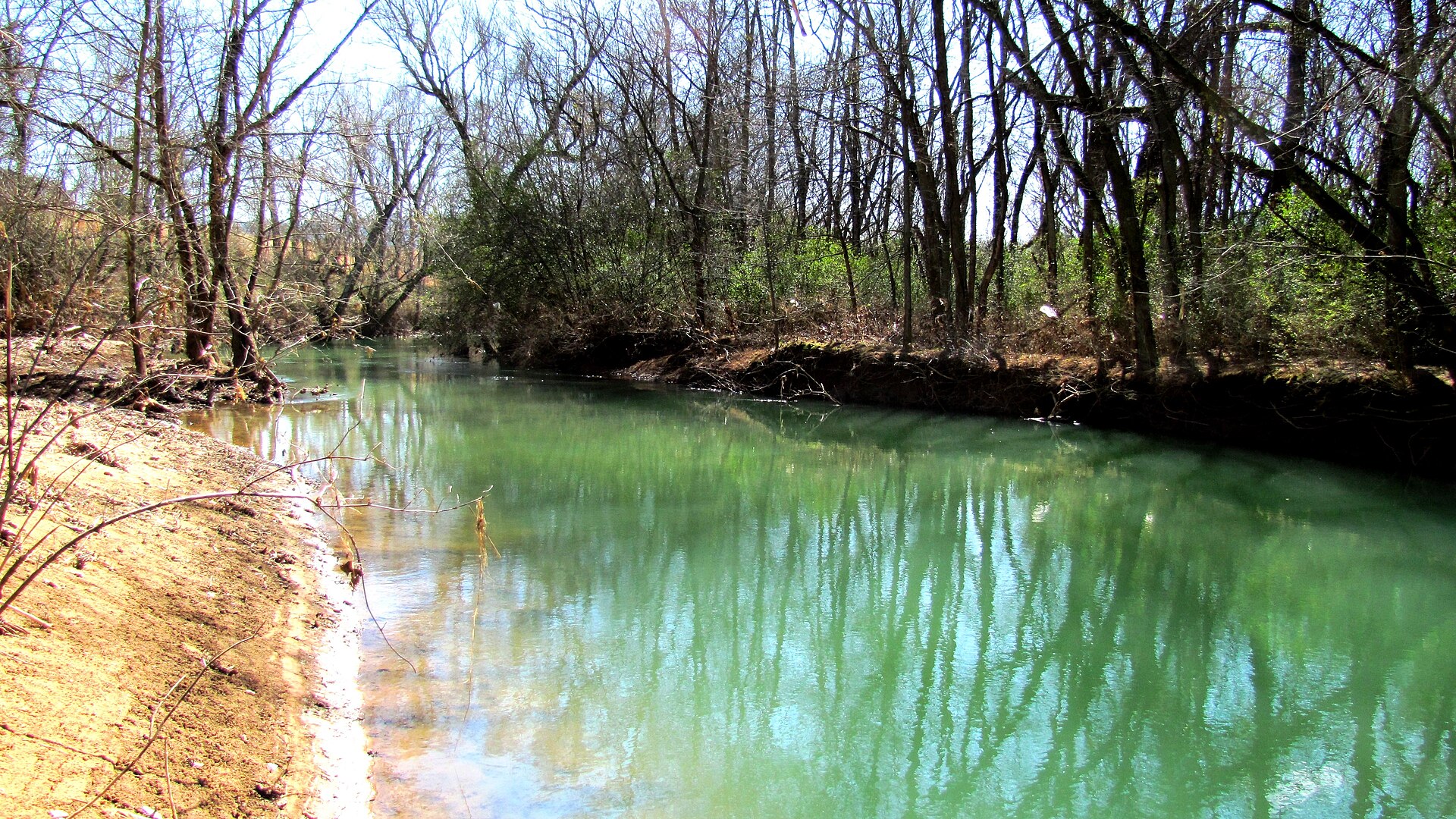
Clear Creek

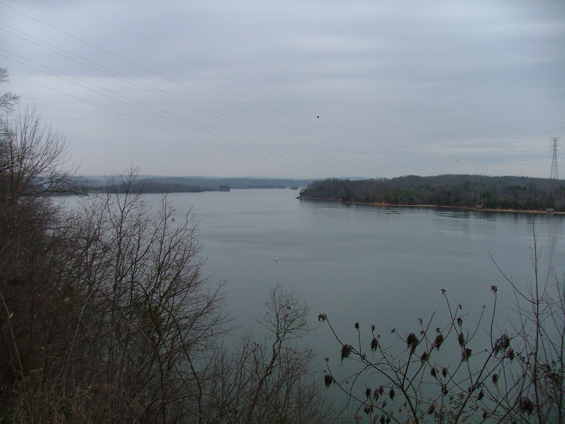
Watts Bar Lake

Launch fee5 out of 5facilitiesMarina · MarinaWhites Creek Marina & Lakeside Resort19 mi from Crossville · Rhea Co.HWY 27 to Whites Creek Road, go 1 mile on right1 ramp, 2 lanesrestroomsaccessible parkingDirections and detail →35.77840, -84.75230Free3 out of 5facilitiesBoat Launch · TWRARoddy20 mi from Crossville · Rhea Co.Hwy 27 north from Spring City, approx. 7.25 miles to Roddy Ln, road ends at ramp1 ramp, 1 laneDirections and detail →35.76210, -84.76230Free2.5 out of 5facilitiesBoat Launch · TWRARockwood Beach20 mi from Crossville · Roane Co.Right next to Tim Fuller Access Area1 ramp, 1 lanecanoe / kayak landingDirections and detail →35.83423, -84.69060Free5 out of 5facilitiesBoat Launch · CityTom Fuller Ramp21 mi from Crossville · Roane Co.Hwy 27 to Nelson St. Take Nelson St. to Pumphouse and go approx. 0.5 miles, ramp on right2 ramps, 2 lanesfishing piercanoe / kayak landingrestroomsDirections and detail →35.83415, -84.68643Fee not listed3.5 out of 5facilitiesMarina · CityRockwood Marina & RV Park21 mi from Crossville · Roane Co.Next to Tom Fuller Access Areafishing pierrestroomsaccessible parkingDirections and detail →35.83486, -84.67949Launch fee5 out of 5facilitiesMarina · MarinaArrowhead Marina & Resort21 mi from Crossville · Rhea Co.1 ramp, 1 lanefishing pierrestroomsrentalsaccessible parkingDirections and detail →35.73899, -84.74975Launch fee5 out of 5facilitiesMarina · MarinaRhea Harbor21 mi from Crossville · Rhea Co.1 ramp, 2 lanesrestroomsrentalsaccessible parkingDirections and detail →35.67622, -84.85125Free2 out of 5facilitiesBoat Launch · TWRARector Branch21 mi from Crossville · Rhea Co.1 ramp, 1 laneDirections and detail →35.73469, -84.75066Free3.5 out of 5facilitiesBoat Launch · TVARhea Springs22 mi from Crossville · Rhea Co.1 ramp, 1 laneDirections and detail →35.68249, -84.82783Free3.5 out of 5facilitiesBoat Launch · CitySpring City Boat Dock22 mi from Crossville · Rhea Co.1 ramp, 1 lanefishing pieraccessible parkingDirections and detail →35.66738, -84.85583Free3.5 out of 5facilitiesBoat Launch · TWRAWinton Chapel22 mi from Crossville · Roane Co.Take 27 south of Rockwood. Turn left onto Abels Valley Rd, then right on Winton Chapel1 ramp, 1 lanecanoe / kayak landingaccessible parkingDirections and detail →35.79134, -84.69090Free3 out of 5facilitiesMarina · MarinaTerrace View Marina22 mi from Crossville · Rhea Co.1 ramp, 1 lanerentalsaccessible parkingDirections and detail →35.74669, -84.72816Launch fee3.5 out of 5facilitiesMarina · Private LandPiney Point Resort22 mi from Crossville · Rhea Co.1 ramp, 1 lanefishing pierrestroomsrentalsDirections and detail →35.68060, -84.81240Free2.5 out of 5facilitiesBoat Launch · TWRAHog Back Ridge22 mi from Crossville · Roane Co.HWY 27 South from Rockwood, left on Abels Valley Road, right on Winton Chapel Road, follow to ramp on right1 ramp, 1 lanecanoe / kayak landingDirections and detail →35.76130, -84.70010Free3 out of 5facilitiesBoat Launch · TWRAMoonlight Bay23 mi from Crossville · Roane Co.Off New Hope Road1 ramp, 1 lanecanoe / kayak landingaccessible parkingDirections and detail →35.82240, -84.65410Free2 out of 5facilitiesBoat Launch · TWRABrowns Chapel24 mi from Crossville · Roane Co.From Kingston, go west on HWY 70 to Caney Creek Rd, turn left then approximately 3 miles to ramp on left1 ramp, 1 lanecanoe / kayak landingDirections and detail →35.83560, -84.62480Free2 out of 5facilitiesBoat Launch · TWRARockwood Ferry24 mi from Crossville · Roane Co.HWY 70 to Caney Creek Road, then left on Old Rockwood Landing Road, dead ends at ramp1 ramp, 1 lanecanoe / kayak landingDirections and detail →35.78790, -84.64360Launch fee3.5 out of 5facilitiesMarina · MarinaCaney Creek Marina24 mi from Crossville · Roane Co.restroomsrentalsaccessible parkingDirections and detail →35.87029, -84.60320Free3.5 out of 5facilitiesBoat Launch · CountyCaney Creek25 mi from Crossville · Roane Co.4 ramps, More Than 3 lanescanoe / kayak landingaccessible parkingDirections and detail →35.85513, -84.60092Fee not listed3 out of 5facilitiesMarina · MarinaBayside Marina25 mi from Crossville · Roane Co.Hwy 58 South, turn right onto 304, go approx. 6miles, Marina on rightfishing pierrestroomsDirections and detail →35.75020, -84.65870Free4.5 out of 5facilitiesBoat Launch · TWRABlue Springs Marina25 mi from Crossville · Roane Co.Hwy 58 South, turn right on 304, go approx. 7 miles, Marina on right2 ramps, 2 lanesrestroomsDirections and detail →35.73520, -84.66780Free3.5 out of 5facilitiesBoat Launch · TVAFooshee25 mi from Crossville · Meigs Co.1 ramp, 1 laneaccessible parkingDirections and detail →35.66283, -84.75131Free4 out of 5facilitiesBoat Launch · Private LandHornsby Hollow25 mi from Crossville · Meigs Co.Hwy 68 east to Hwy 304 north approx. 5.5 miles; within Hornsby Hollow campground1 ramp, 1 lanefishing pierrestroomsDirections and detail →35.69026, -84.70802Launch fee4.5 out of 5facilitiesBoat Launch · MarinaEuchee Marina25 mi from Crossville · Meigs Co.1 ramp, 1 lanerestroomsrentalsaccessible parkingDirections and detail →35.68277, -84.71234Free2.5 out of 5facilitiesBoat Launch · TWRADe Armond26 mi from Crossville · Roane Co.1.5 miles off highway 304(River Rd)1 ramp, 1 lanecanoe / kayak landingDirections and detail →35.83784, -84.59150Free2.5 out of 5facilitiesBoat Launch · TWRABig Springs26 mi from Crossville · Meigs Co.Hwy 68 east to Hwy 304 north approx. 6 miles on left1 ramp, 1 laneaccessible parkingDirections and detail →35.69211, -84.69799Free2.5 out of 5facilitiesBoat Launch · TWRALakeview26 mi from Crossville · Meigs Co.Hwy 68 east to Hwy 304 north approx. 4 miles on left1 ramp, 1 laneDirections and detail →35.67170, -84.72195Free3.5 out of 5facilitiesBoat Launch · TWRAShady Grove26 mi from Crossville · Roane Co.Off HWY 3041 ramp, 1 lanecanoe / kayak landingaccessible parkingDirections and detail →35.77400, -84.62010Free4 out of 5facilitiesBoat Launch · TVAWatts Bar Dam26 mi from Crossville · Meigs Co.1 ramp, 1 lanerestroomsaccessible parkingDirections and detail →35.62703, -84.77839

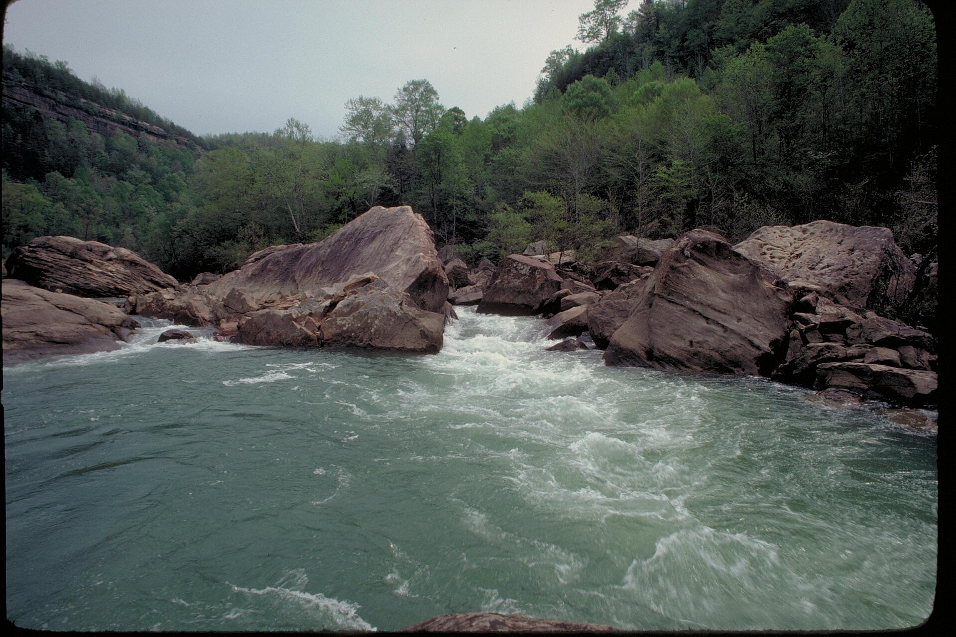
Emory River

Calf Killer River

Sequatchie River

What to bring

What to bring fishing near Crossville

Three picks from the largemouth bass checklist that work for the fish here. Affiliate links: buying through them pays this site a small commission at no extra cost to you.

RodUgly Stik GX2 7 ft medium-heavy casting rodStiff enough to set a hook in grass, tough enough to live in a truck bed.Shop on Amazon →Why it is on the list
ReelAbu Garcia Black Max baitcasting reelAn inexpensive baitcaster that casts cleanly once the brakes are set.Shop on Amazon →Why it is on the list
Soft plasticZoom Trick WormThe Tennessee standard on a Texas rig or weightless along docks and grass edges.Shop on Amazon →Why it is on the list

Spending more? The bigger purchases, compared side by side:

Measured from town

Where to fish near Crossville

The water within reach of Crossville is Watts Bar Lake, Clear Creek, Emory River and 5 more.

Everything on this page is sorted by straight-line distance from Crossville, not by which county it sits in. Several of the closest spots to Crossville are across a county line, which is exactly the kind of thing a county-by-county list hides.

No boat

Bank fishing near Crossville

9 public fishing piers within reach of Crossville. No boat needed for any of them.

Free3.5 out of 5facilitiesFishing Site · TDECCumberland Mountain State ParkBryd Lake · 4 mi from Crossvillefishing pierrestroomsrentalsaccessible parkingtrolling motors onlyDirections and detail →35.89856, -85.00049Launch fee5 out of 5facilitiesBoat Launch · CityMeadow Park LakeMeadow Park Lake · 5 mi from Crossville1 ramp, 1 lanefishing piercanoe / kayak landingrestroomsrentalsaccessible parkingDirections and detail →35.90196, -85.09644Free5 out of 5facilitiesBoat Launch · CityTom Fuller RampWatts Bar Lake · 21 mi from CrossvilleHwy 27 to Nelson St. Take Nelson St. to Pumphouse and go approx. 0.5 miles, ramp on right2 ramps, 2 lanesfishing piercanoe / kayak landingrestroomsDirections and detail →35.83415, -84.68643Fee not listed3.5 out of 5facilitiesMarina · CityRockwood Marina & RV ParkWatts Bar Lake · 21 mi from CrossvilleNext to Tom Fuller Access Areafishing pierrestroomsaccessible parkingDirections and detail →35.83486, -84.67949Launch fee5 out of 5facilitiesMarina · MarinaArrowhead Marina & ResortWatts Bar Lake · 21 mi from Crossville1 ramp, 1 lanefishing pierrestroomsrentalsaccessible parkingDirections and detail →35.73899, -84.74975Free3.5 out of 5facilitiesBoat Launch · CitySpring City Boat DockWatts Bar Lake · 22 mi from Crossville1 ramp, 1 lanefishing pieraccessible parkingDirections and detail →35.66738, -84.85583Launch fee3.5 out of 5facilitiesMarina · Private LandPiney Point ResortWatts Bar Lake · 22 mi from Crossville1 ramp, 1 lanefishing pierrestroomsrentalsDirections and detail →35.68060, -84.81240Fee not listed3 out of 5facilitiesMarina · MarinaBayside MarinaWatts Bar Lake · 25 mi from CrossvilleHwy 58 South, turn right onto 304, go approx. 6miles, Marina on rightfishing pierrestroomsDirections and detail →35.75020, -84.65870

Shoreline access in Cumberland County

Meadow Park Lake fishing pier and shoreline (open park hours); Byrd Lake shoreline and dam area at Cumberland Mountain State Park; Obed River access at the US-70 crossing between downtown Crossville and the airport, the US-127 crossing, and the SR-298 (Genesis Road) crossing; Nemo Picnic Area and Rock Creek Campground (NPS, Morgan Co. side but the standard Obed access)

What is in there

Fish and limits around Crossville

Water around Crossville holds largemouth bass, smallmouth bass, crappie, bluegill, rock bass, catfish and rainbow trout.

Byrd Lake at Cumberland Mountain State Park is on TWRA’s winter rainbow trout stocking schedule, trout regulations and a trout licence requirement apply there seasonally. Meadow Park Lake is a city water with its own permit structure ($5/day motorized, free non-motorized) on top of the state fishing licence. A precautionary fish consumption advisory is in effect on Daddys Creek, with an extended advisory on the downstream Emory River, the NPS posts this and it should be stated plainly on any Obed page. Catoosa WMA has seasonal access closures.

From TWRA’s statewide creel and length limits, last updated 4 August 2026. Water-specific exceptions change, so check the current guide before keeping a fish.

Weather

Crossville fishing weather and wind forecast

Thu, Oct 1 night

59°F

Mostly Clear

Wind SSE 5 mph

0% chance of rain

Thu, Oct 1

85°F

Sunny

Wind S 5 to 10 mph

0% chance of rain

Thu, Oct 1 night

64°F

Mostly Clear

Wind S 5 mph

0% chance of rain

Fri, Oct 2

84°F

Chance Rain Showers

Wind SSW 5 to 10 mph

46% chance of rain

Fri, Oct 2 night

64°F

Chance Showers And Thunderstorms then Areas Of Fog

Wind S 0 to 5 mph

70% chance of rain

Sat, Oct 3

75°F

Patchy Fog

Wind E 0 to 5 mph

70% chance of rain

National Weather Service forecast, updated 6:51 PM, Wed, Sep 30.

Sun and moon, Thu, Oct 8

Sunrise6:41 AMCDT
Sunset6:15 PMCDT
First light6:16 AMLast light 6:41 PM
Daylight11 hr 34 minSunrise to sunset
MoonWaning crescent8% lit. New moon in 3 days

1 public boat launches in Cumberland County, counted from TWRA’s own access database.

Questions people ask

Fishing near Crossville: common questions

Where is the closest place to fish to Crossville?

Cumberland Mountain State Park on Bryd Lake, about 4 miles from Crossville in Cumberland County. It is a fishing site with a fishing pier.

How many fishing spots are near Crossville?

There are 40 public access points within about 30 miles of Crossville, 27 of them boat launches, across 8 named waters.

Can I fish near Crossville without a boat?

Yes. Cumberland Mountain State Park on Bryd Lake has a fishing pier and is about 4 miles from Crossville. There are 9 piers within range in total.

Do I need a license to fish near Crossville?

Yes, anyone 13 and over. A resident annual combination hunt and fish license is $33, a resident one-day all-species license is $11, and a non-resident three-day all-species license is $40. Tennessee sells no non-resident one-day license. Note the $33 combination license does not cover trout, that needs the $21 supplemental.

What is the best lake near Crossville?

Watts Bar Lake carries the most public access within reach of Crossville, followed by Clear Creek. Which one fishes best depends entirely on the season and what you are after.

Where can I buy bait near Crossville?

Meadow Park Lake park office doubles as a bait shop, 931-788-2034 (City of Crossville Leisure Services). Tansi Bait Shop, Crossville (Lake Tansi area), listed in directories. Walmart Supercenter, Crossville (Store 687) sells tackle, bait and fishing licenses. Nearest Academy Sports: Cookeville (~35 min). Nearest Bass Pro: Sevierville or Nashville, roughly 2 hours either way.. The Crossville gear page has the rest, plus rental and licenses.

What fish can you catch near Crossville?

Mainly largemouth bass, smallmouth bass, crappie, bluegill, rock bass, catfish and rainbow trout.

Crossville water holds largemouth bass, smallmouth bass, crappie, bluegill.

With a guide

Fishing near Crossville with a guide

Local captains who run the water near Crossville are listed on the guides page with their own phone numbers. You call and book with them directly.

Keep going

More Crossville water, and who fishes it

Every guide and charter on this site is listed by the water they run, so you can call the captain direct. Licences, limits and the state record list are one click away too.