Every access point
Public access on South Fork Holston River, county by county
All 10 public access points TWRA records on South Fork Holston River. Each card opens its own page with written directions, coordinates and a link straight to Google Maps.
Tap a pin for the spot page and directions. Open the full Tennessee fishing map.
South Fork Holston River access in Sullivan County
What to bring
Tackle for South Fork Holston River
Three picks from the largemouth bass checklist that work for the fish here. Affiliate links: buying through them pays this site a small commission at no extra cost to you.
Spending more? The bigger purchases, compared side by side:
What it looks like
South Fork Holston River in photographs
What South Fork Holston River looks like through the year. Every picture opens that water’s own page.
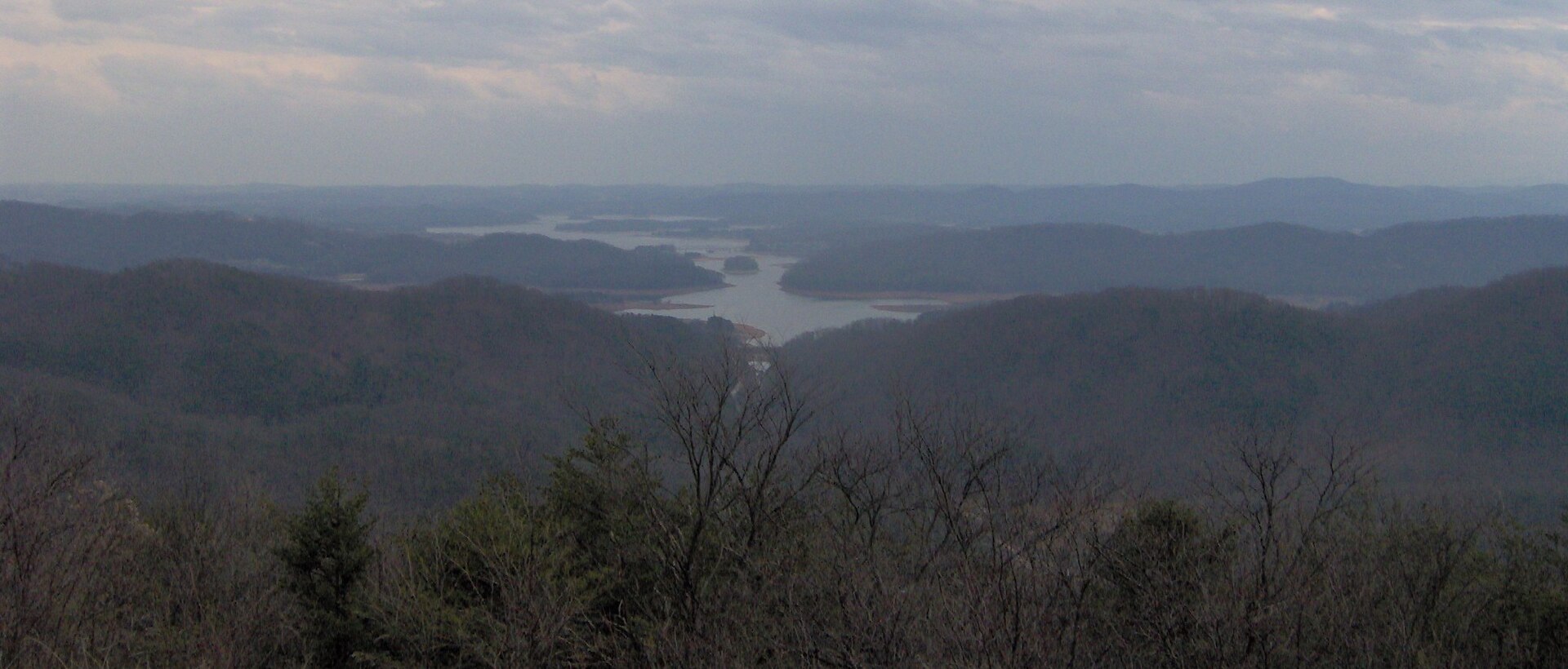 South Fork Holston RiverOpen the South Fork Holston River page →Brian Stansberry / CC BY 3.0
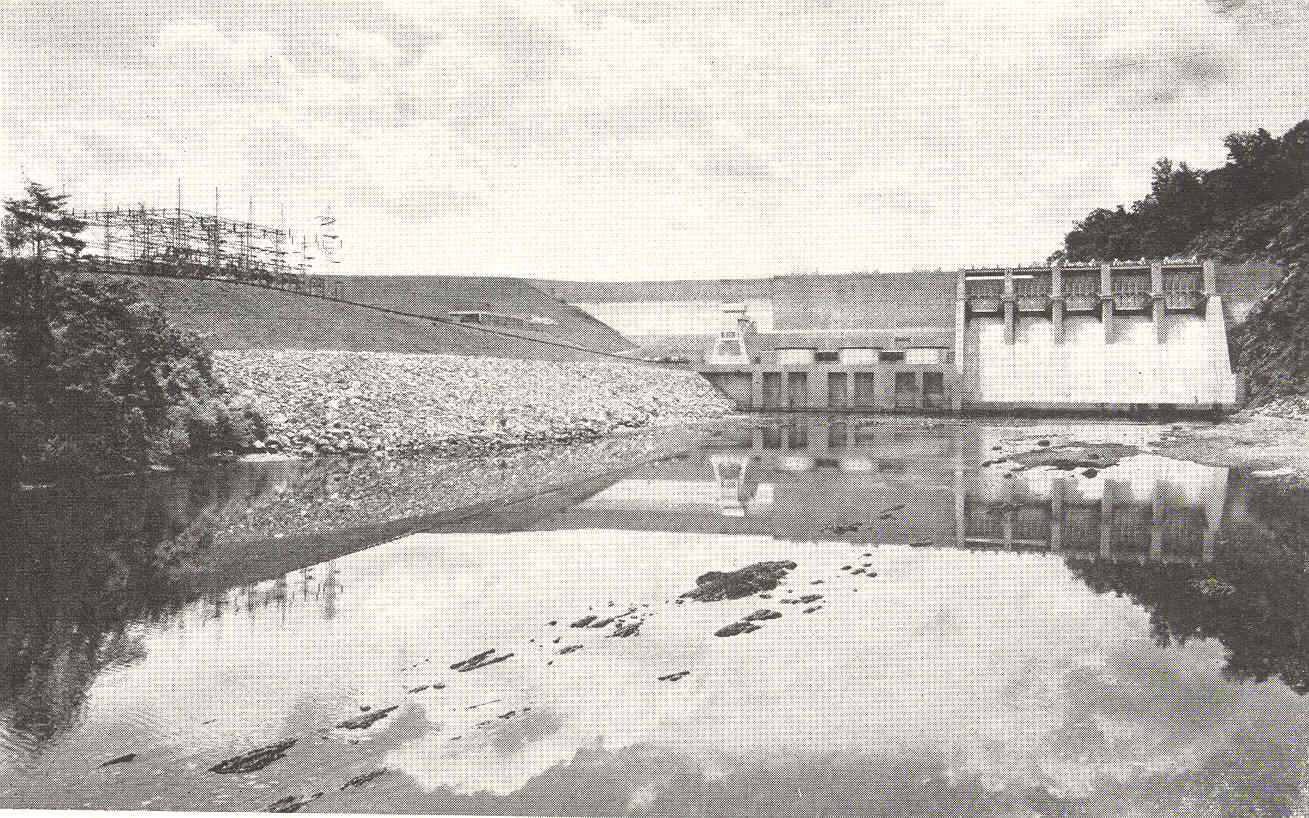 Boone LakeOpen the Boone Lake page →Tennessee Valley Authority / Public domain
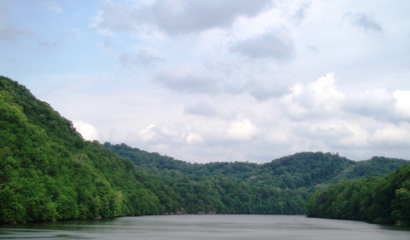 South Fork Holston RiverOpen the South Fork Holston River page →Dacoshi / CC BY-SA 3.0
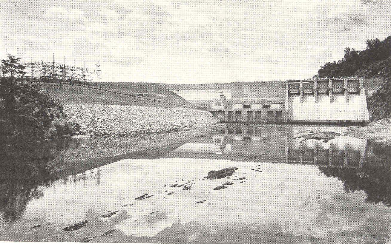 Boone LakeOpen the Boone Lake page →Tennessee Valley Authority / Public domain
 South Fork Holston RiverOpen the South Fork Holston River page →Brian Stansberry / CC BY 3.0
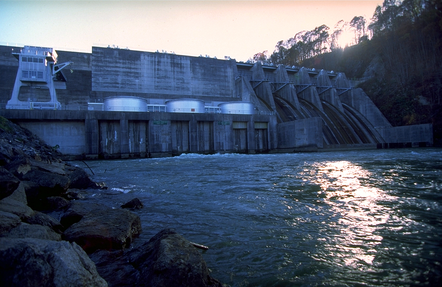 Boone LakeOpen the Boone Lake page →Tennessee Valley Authority / Public domain
What you can keep
Fishing limits on South Fork Holston River
TWRA sets 3 rules just for South Fork Holston River. They replace the statewide limit for those fish. Everything else follows the statewide limit.
| Fish | Daily limit | Length | Where or when |
|---|---|---|---|
| Trout | 7 | 16–22 in protected slot, one over 22 in | South Holston Dam to Boone Dam, all trout |
| Trout | 7 | 16–22 in protected slot (rainbow and brown), one over 22 in | Below Boone: Boone Dam to Louis Milhorn Bridge (Fort Patrick Henry Reservoir) |
| Smallmouth bass | 5 black bass combined | 13–17 in protected slot, one over 17 in | Below Fort Patrick Henry Dam down to the North Fork confluence |
| Largemouth bass | 5 black bass combined | No minimum | Statewide |
| Spotted bass | 5 black bass combined | No minimum | Statewide |
| Crappie | 15 | 10 in minimum | Statewide |
| Bluegill | No limit | No minimum | Statewide |
| Rock bass | 20 | No minimum | Statewide |
| Walleye | 5 | 16 in minimum | Statewide |
| Blue catfish | No limit under 34 in | Only one over 34 in | Statewide |
Other rules on South Fork Holston River
- Nov 1–Jan 31 closed to all fishing: Hickory Tree Bridge up to Bottom Creek, and from the downstream point of Boy’s Island (below Weaver Pike Bridge) up to the top of the first island above Webb Road Bridge.
- Snagging prohibited year-round from South Holston Dam to the Hwy 390 bridge at Bluff City.
From the 2026–27 Tennessee Fishing Guide (TWRA), in effect 1 August 2026 to 31 July 2027, checked 25 September 2026. Rules change, so check the guide before you keep a fish.
By county
Counties on South Fork Holston River
South Fork Holston River touches 1 Tennessee county. The county page has the bait shops, the bank access and the local limits.
By town
Towns on South Fork Holston River
These pages measure from the middle of town rather than the county line, which is usually the number that matters when you are deciding where to drive.
10 public access points on South Fork Holston River, every one with directions.