With a guide
Guides and charters near Nance’s Ferry
Captains who run Cherokee and Douglas, with their own phone numbers. You call and book with them directly.
Skylar Hamilton Guide Service
Nathan Mountain Outdoors
Largemouth, smallmouth, crappie, bluegill, troutCall 423-726-0240nathanmountainoutdoors.com
StriperFun Guide Service
Cherokee Lake stripersCall 931-403-2501striperfun.com
What to bring
Tackle for Nance’s Ferry
Three picks from the smallmouth bass checklist that work for the fish here. Affiliate links: buying through them pays this site a small commission at no extra cost to you.
Spending more? The bigger purchases, compared side by side:
How to get there
Getting to Nance’s Ferry
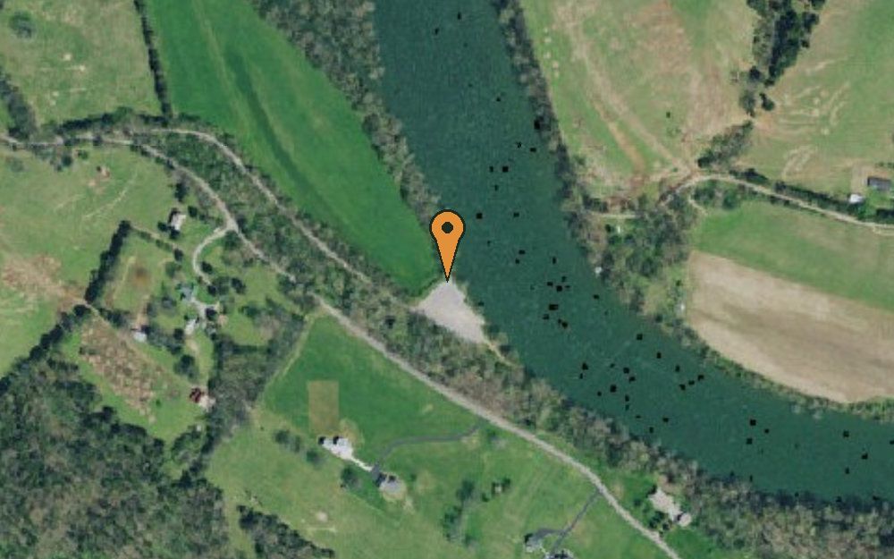
Nance’s Ferry is a public boat launch on Holston River in Grainger County, Tennessee, run by the Tennessee Wildlife Resources Agency.
1491 Nance Ferry Rd, Blaine, TN 37709
Nance’s Ferry is 8.2 miles west of Jefferson City, the nearest town with its own page here. The closest other public access is Indian Cave Park, 3.0 miles to the north-east on the same water. For bait, Cherokee Bait & Tackle in Jefferson City is about 8 miles away.
Coordinates 36.12776, -83.63887
What you can catch
Fish you can catch at Nance’s Ferry
Holston River holds these, according to the county research behind this site and TWRA’s own species notes.
This is the warm-water Holston above the lake, not the Cherokee Dam trout tailwater downstream in Jefferson County, a distinction almost every competing page gets wrong.
What you can keep
Fishing limits at Nance’s Ferry
What you can keep from Holston River at Nance’s Ferry. TWRA sets 1 rule just for Holston River. They replace the statewide limit for those fish. Everything else follows the statewide limit.
| Fish | Daily limit | Length | Where or when |
|---|---|---|---|
| Smallmouth bass | 5 black bass combined | 13–17 in protected slot, one over 17 in | I-40 bridge upstream to Cherokee Dam, and John Sevier Dam upstream to the North Fork |
| Bluegill | No limit | No minimum | Statewide |
| Rock bass | 20 | No minimum | Statewide |
| Walleye | 5 | 16 in minimum | Statewide |
| Sauger | 10 | 15 in minimum | Statewide |
| Channel catfish | No limit under 34 in | Only one over 34 in | Statewide |
Other rules on Holston River
- Hwy 344 (Malinda Ferry Rd) bridge up to John Sevier Dam closed to snagging Mar 1–31 and Apr 16–May 31.
From the 2026–27 Tennessee Fishing Guide (TWRA), in effect 1 August 2026 to 31 July 2027, checked 25 September 2026. Rules change, so check the guide before you keep a fish.
21 public boat launches in Grainger County, counted from TWRA’s own access database.
What it looks like
Holston River around Nance’s Ferry
What the water at Nance’s Ferry actually looks like. Drag or swipe through. Every picture opens that water’s own page.
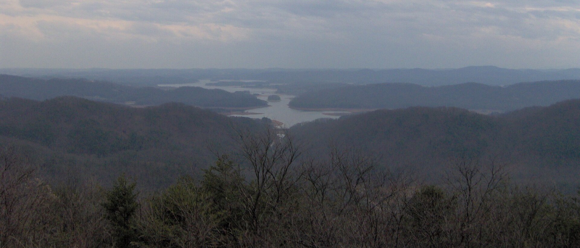 Holston RiverOpen the Holston River page →Brian Stansberry / CC BY 3.0
 Cherokee LakeOpen the Cherokee Lake page →TVA Web Team / CC BY 2.0
 Norris LakeOpen the Norris Lake page →Brian Stansberry / CC BY 3.0
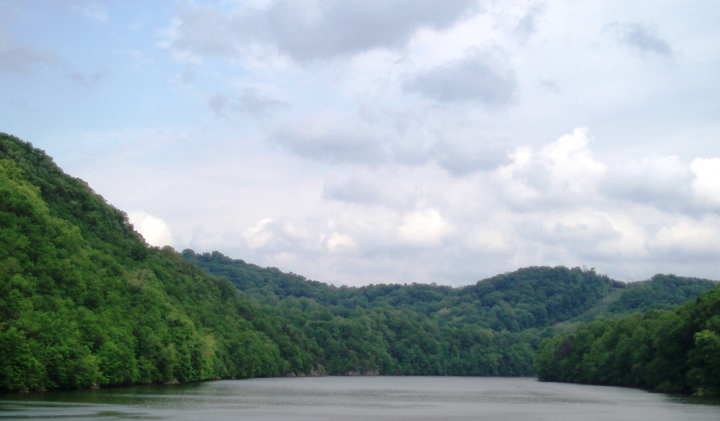 Holston RiverOpen the Holston River page →Dacoshi / CC BY-SA 3.0
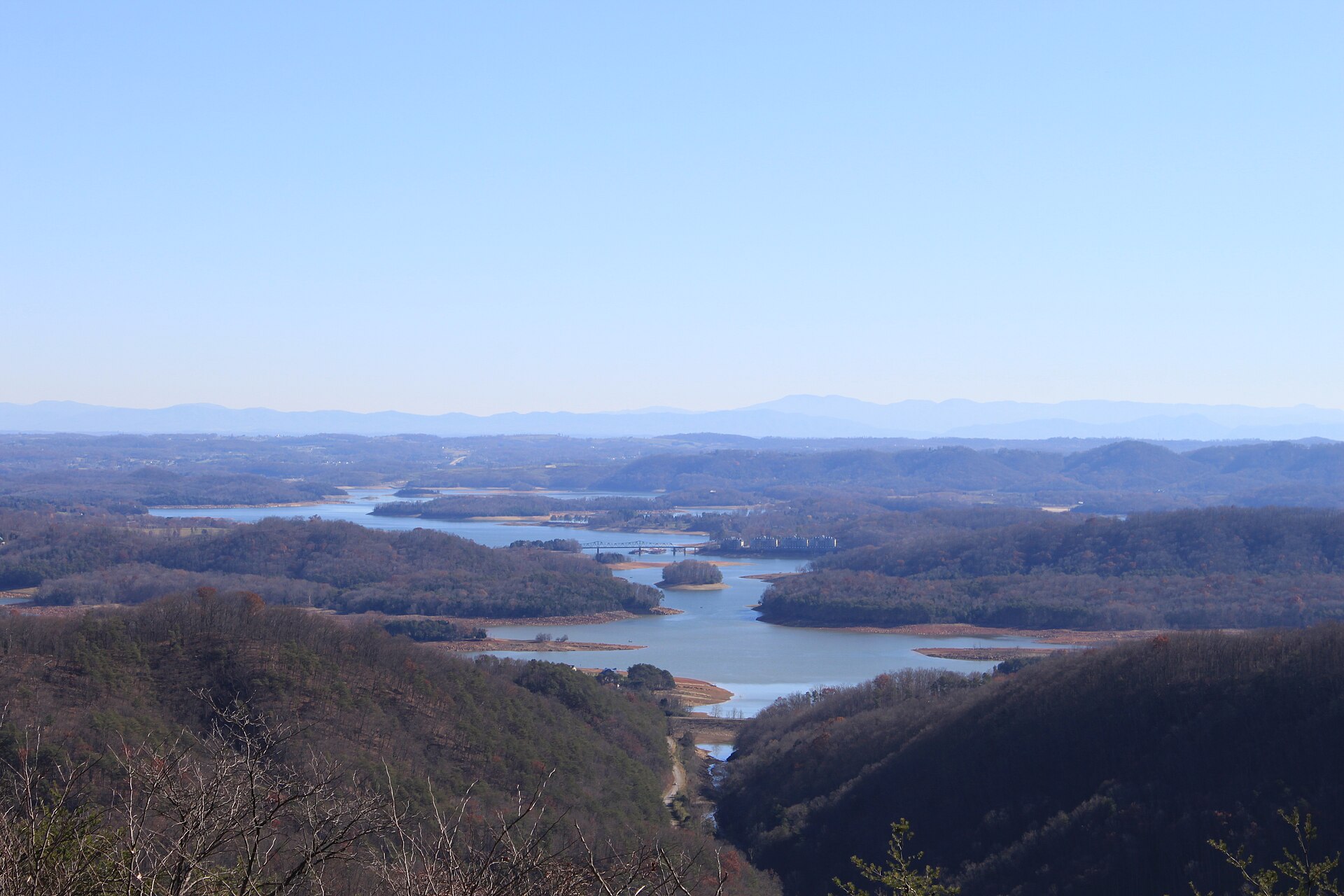 Cherokee LakeOpen the Cherokee Lake page →Dwight Burdette / CC BY 3.0
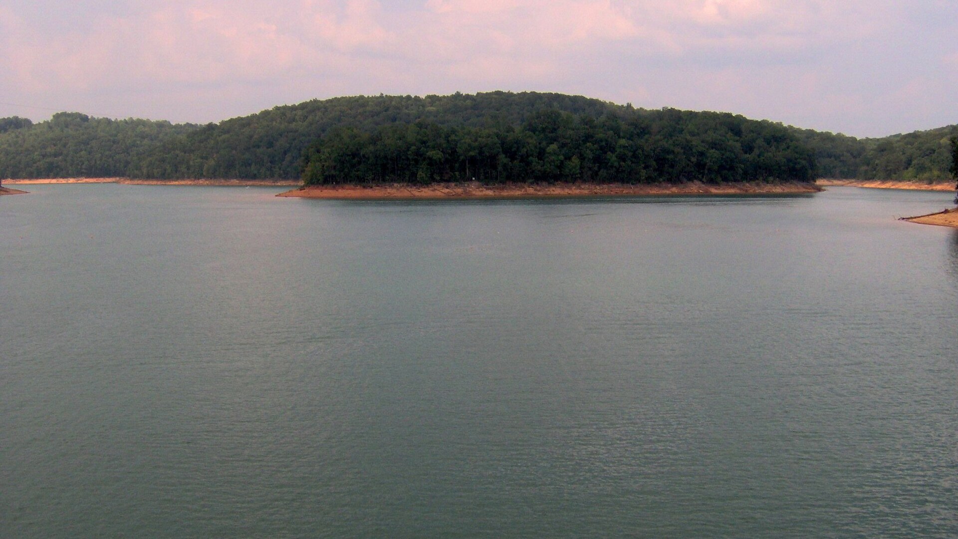 Norris LakeOpen the Norris Lake page →Brian Stansberry / CC BY 3.0
Next one along
More Holston River access near Nance’s Ferry
The closest other public access points on Holston River, measured straight line from Nance’s Ferry. Each one opens its own page with directions.
Nance’s Ferry water holds largemouth bass, smallmouth bass, crappie, bluegill.
Other water close by
Other fishing near Nance’s Ferry
Public access on other water within 20 miles of Nance’s Ferry, including Cherokee Lake. Handy when the wind is wrong on Holston River or the ramp is busy.
Bait on the way
Bait and tackle near Nance’s Ferry
The closest shops to Nance’s Ferry that this site has checked. Cherokee Bait & Tackle in Jefferson City is nearest, about 8 miles away. Call ahead in winter, when smaller shops cut their hours.
Your turn
Rate and review Nance’s Ferry
1. Tap your stars
2. Add a few words if you like
What visitors say
Loading visitor ratings
Where to next
Around Nance’s Ferry
Nance’s Ferry is one access point. These pages cover the rest of the water and the rest of the county.