95 Counties · 1,002 Public Access Points · 78 Lakes and RiversTennessee state record fish

Greeneville · Greene County

Fishing Near Greeneville, Tennessee

Nolichucky River, Holston River, French Broad River. Every public launch and pier within about 30 minutes of Greeneville, and where to buy what you forgot on the way.

Closest first

Every public access within reach of Greeneville

From TWRA’s own access database, with a directions link on each one. Distances are straight-line from Greeneville, so the drive is always a bit longer.

Tap a pin for the spot page and directions. Open the full Tennessee fishing map.

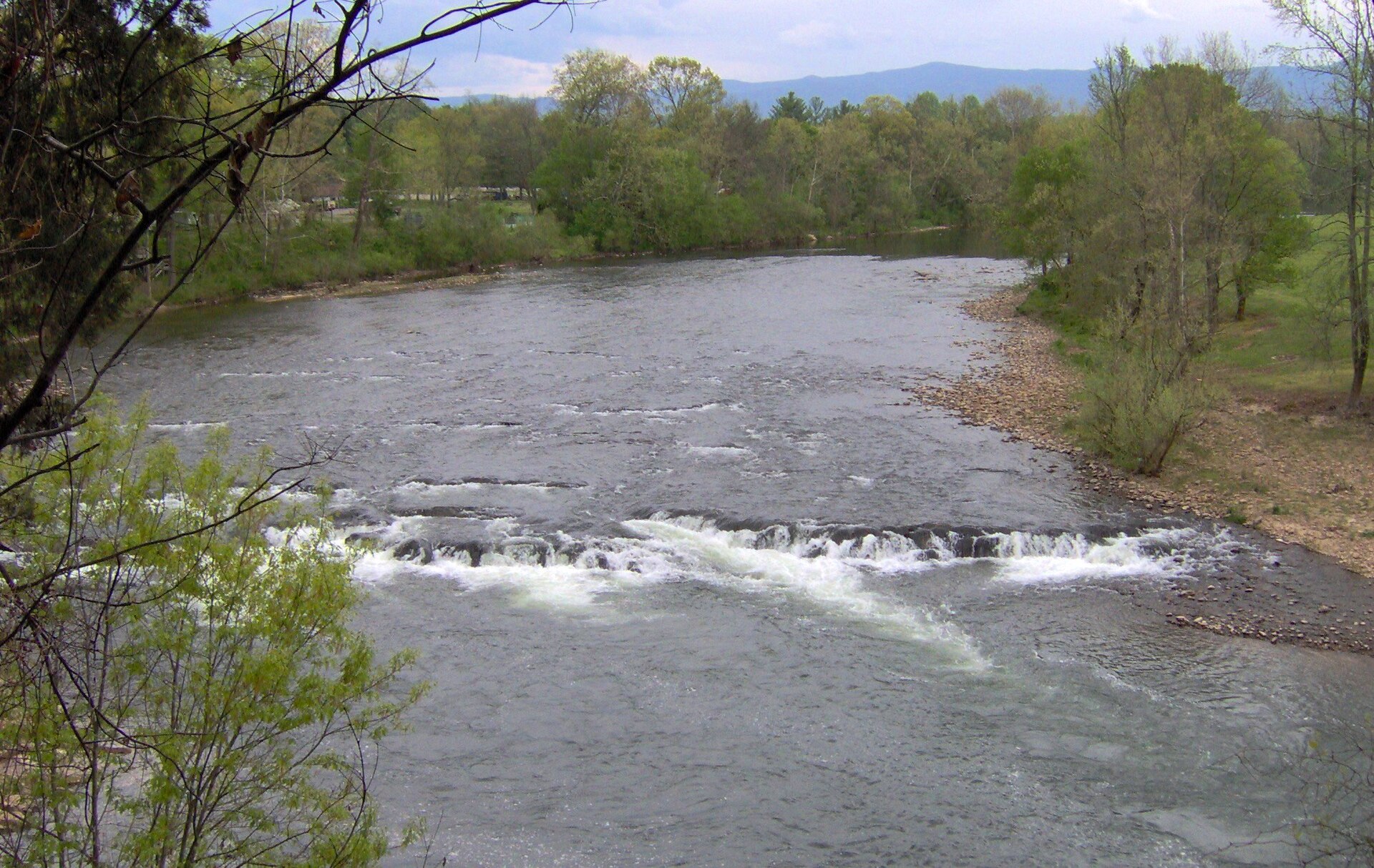
Nolichucky River

Free1.5 out of 5facilitiesBoat Launch · TVAJones Bridge Rd4 mi from Greeneville · Greene Co.Directions and detail →36.11612, -82.78513Free2 out of 5facilitiesBoat Launch · TVAJoe Johnson Access5 mi from Greeneville · Greene Co.Hwy 70 to E. Allens Bridge Road to Birds Bridge Rd1 ramp, 1 lanecanoe / kayak landingDirections and detail →36.08666, -82.82507Free2 out of 5facilitiesBoat Launch · CityKinser Park5 mi from Greeneville · Greene Co.1 ramp, 1 lanecanoe / kayak landingDirections and detail →36.08790, -82.85240Free2.5 out of 5facilitiesBoat Launch · CountyKinser Bridge6 mi from Greeneville · Greene Co.Hwy 11E to Greenville to Hwy. 1071 ramp, 1 lanecanoe / kayak landingDirections and detail →36.15461, -82.72568Free2 out of 5facilitiesFishing Site · TVADavy Crockett Dam Canoe Access7 mi from Greeneville · Greene Co.canoe / kayak landingDirections and detail →36.06542, -82.86858Free1.5 out of 5facilitiesFishing Site · OtherHwy 321 Bridge Access10 mi from Greeneville · Greene Co.canoe / kayak landingDirections and detail →36.07005, -82.96708Free2.5 out of 5facilitiesBoat Launch · TWRAEasterly Bridge11 mi from Greeneville · Greene Co.US 321 Bright Hope Rd to Poplar Springs Rd1 ramp, 1 lanecanoe / kayak landingaccessible parkingDirections and detail →36.08337, -82.99487Free1.5 out of 5facilitiesFishing Site · TVABewleys Bridge13 mi from Greeneville · Greene Co.Hwy 340 to Bewleys Bridgecanoe / kayak landingDirections and detail →36.09584, -83.05105Free1.5 out of 5facilitiesFishing Site · USFSJackson Island17 mi from Greeneville · Washington Co.Jackson Bridge Rd off of SR 107canoe / kayak landingDirections and detail →36.17981, -82.53363Free3 out of 5facilitiesFishing Site · USFSChestoa Access Area22 mi from Greeneville · Unicoi Co.Jones Branch RD off of Chestoa Rd in Chestoacanoe / kayak landingrestroomsaccessible parkingDirections and detail →36.10320, -82.44752

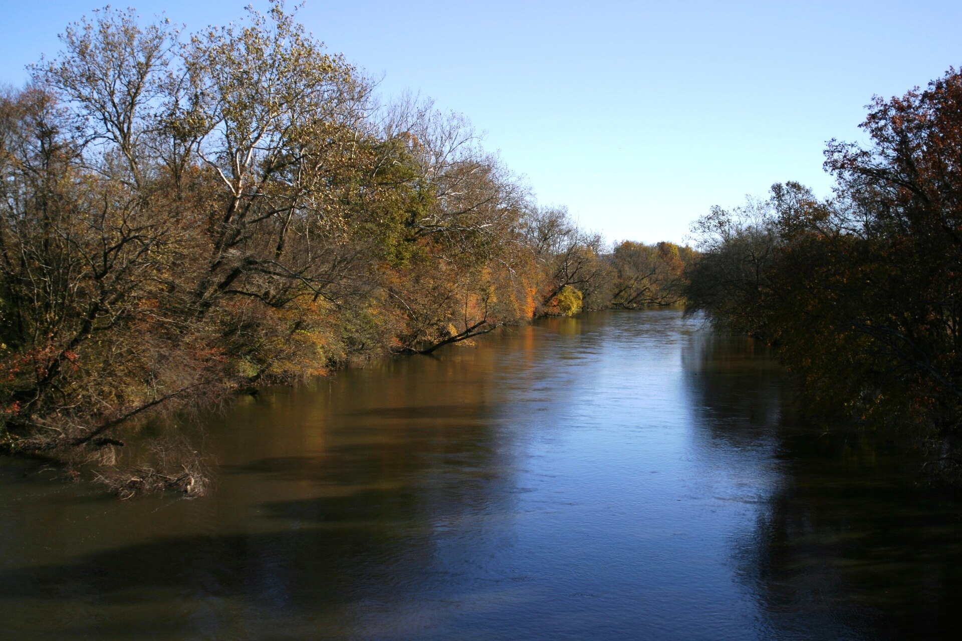
French Broad River

Holston River

Free3 out of 5facilitiesBoat Launch · TVAJohn Sevier Steamplant17 mi from Greeneville · Hawkins Co.SR 66 to SR 70 to Steamplant Rd (TVA Rd)1 ramp, 1 lanecanoe / kayak landingrestroomsaccessible parkingDirections and detail →36.37130, -82.98220Free2 out of 5facilitiesBoat Launch · TVABeech Creek #117 mi from Greeneville · Hawkins Co.Tunnell Hill Rd, Rogersville, TN1 ramp, 1 lanecanoe / kayak landingDirections and detail →36.39759, -82.92907Free2.5 out of 5facilitiesBoat Launch · TVABeech Creek #217 mi from Greeneville · Hawkins Co.Tunnel Hill Rd, Rogersville1 ramp, 1 lanecanoe / kayak landingDirections and detail →36.39825, -82.92871Free3.5 out of 5facilitiesBoat Launch · TWRASurgoinsville Bridge21 mi from Greeneville · Hawkins Co.Hwy 11W to Long Bend Rd in Surgoinsville1 ramp, 1 lanecanoe / kayak landingrestroomsaccessible parkingDirections and detail →36.46893, -82.85096Free2 out of 5facilitiesBoat Launch · TWRAChristian Bend22 mi from Greeneville · Hawkins Co.Hwy 11W to Long Bend Rd. to Millers Bluff Rd to Christian Bend Rd., Churchill, TN1 ramp, 1 lanecanoe / kayak landingDirections and detail →36.47335, -82.77054Free2.5 out of 5facilitiesBoat Launch · CityLaurel Run Park24 mi from Greeneville · Hawkins Co.Hwy. 11W to Goshen Valley Rd. to River Rd. to Laurel Run Park Rd.1 ramp, 1 lanecanoe / kayak landingaccessible parkingDirections and detail →36.49595, -82.68752

Rocky Fork Creek

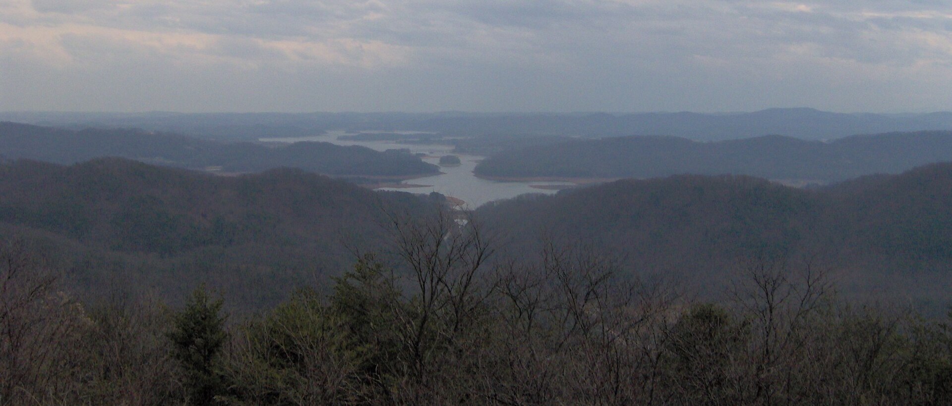
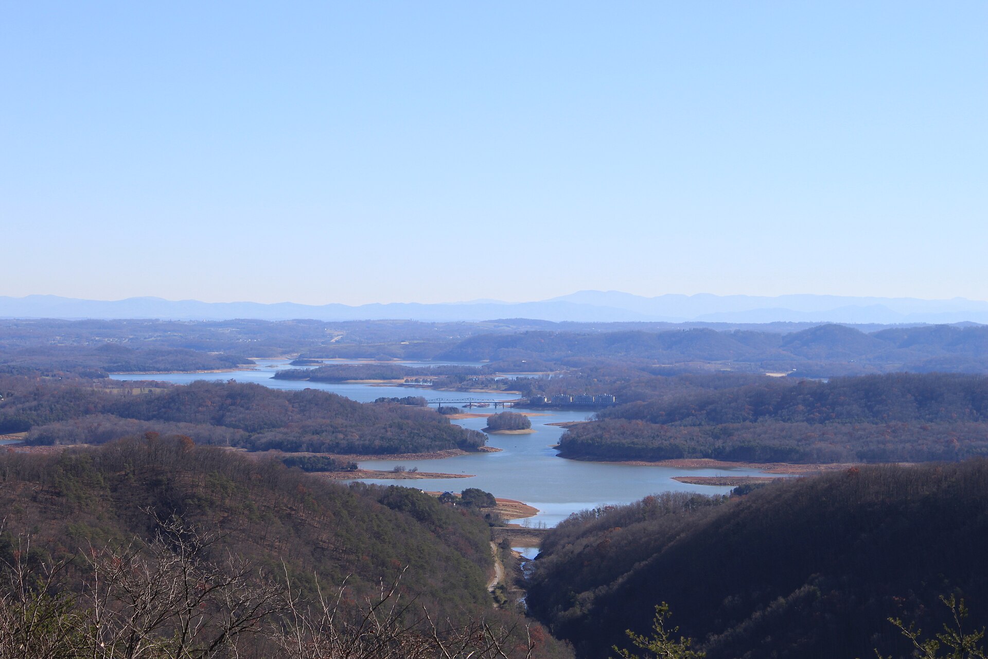
Cherokee Lake

Free2.5 out of 5facilitiesBoat Launch · TVAMelinda Ferry20 mi from Greeneville · Hawkins Co.349 Melinda’s Ferry Rd, Rogersville, TN 378571 ramp, 1 lanecanoe / kayak landingDirections and detail →36.36880, -83.08090Free2.5 out of 5facilitiesBoat Launch · TVACaney Creek21 mi from Greeneville · Hawkins Co.469 Marble Hill Rd, Rogersville, TN 378571 ramp, 1 laneDirections and detail →36.38552, -83.08532Free2 out of 5facilitiesFishing Site · TVAThree Springs Dock Road22 mi from Greeneville · Hamblen Co.Turn on first left after turning left off Three Springs Rd at Needmore Rd Intersection.canoe / kayak landingDirections and detail →36.30990, -83.17030Free2 out of 5facilitiesFishing Site · TVATVA Kellar Branch22 mi from Greeneville · Hamblen Co.Off Anderson Bend Rdcanoe / kayak landingDirections and detail →36.30041, -83.19144Free2 out of 5facilitiesFishing Site · TVAChurch House Point23 mi from Greeneville · Hawkins Co.South of Rogersville, about 8.7 mi from US 11W, Jesus Christ Rd / Quarryville Cemetery Rdcanoe / kayak landingDirections and detail →36.36140, -83.16320Free2.5 out of 5facilitiesBoat Launch · TVAQuarryville23 mi from Greeneville · Hawkins Co.9401 Hwy 11W, Mooresburg, TN 378112 ramps, 1 lanecanoe / kayak landingaccessible parkingDirections and detail →36.36277, -83.16488Fee not listed1 out of 5facilitiesMarinaFalls Creek Marina24 mi from Greeneville · Hamblen Co.Directions and detail →36.28815, -83.22284Free1.5 out of 5facilitiesFishing Site · TWRACedar Creek Access24 mi from Greeneville · Hamblen Co.2551 Cedar Creek Rd, Russellville, TN, 37860Directions and detail →36.27848, -83.23143Free2.5 out of 5facilitiesFishing Site · OtherCedar Creek Acces Area24 mi from Greeneville · Hamblen Co.Turn left Of Brights Pike eastbound On to Cedar Creek Roadcanoe / kayak landingDirections and detail →36.27870, -83.23164Launch fee4.5 out of 5facilitiesBoat Launch · Private LandFall Creek Boat Ramp24 mi from Greeneville · Hamblen Co.1 ramp, 2 lanescanoe / kayak landingrestroomsrentalsDirections and detail →36.29000, -83.22680Free2 out of 5facilitiesBoat Launch · TVAPoor Valley24 mi from Greeneville · Hawkins Co.289 Substation Rd, Mooresburg, TN 378111 ramp, 1 laneDirections and detail →36.34175, -83.20513Launch fee4 out of 5facilitiesBoat Launch · TVAFall Creek Recreation Area24 mi from Greeneville · Hamblen Co.Inside Greenlee of Fall Creek campground beside office and fartherst point in campground2 ramps, 1 lanerestroomsDirections and detail →36.29422, -83.23415

Other water

Pigeon River

Douglas Lake

What to bring

What to bring fishing near Greeneville

Three picks from the largemouth bass checklist that work for the fish here. Affiliate links: buying through them pays this site a small commission at no extra cost to you.

RodUgly Stik GX2 7 ft medium-heavy casting rodStiff enough to set a hook in grass, tough enough to live in a truck bed.Shop on Amazon →Why it is on the list
ReelAbu Garcia Black Max baitcasting reelAn inexpensive baitcaster that casts cleanly once the brakes are set.Shop on Amazon →Why it is on the list
Soft plasticZoom Trick WormThe Tennessee standard on a Texas rig or weightless along docks and grass edges.Shop on Amazon →Why it is on the list

Spending more? The bigger purchases, compared side by side:

Measured from town

Where to fish near Greeneville

The water within reach of Greeneville is Cherokee Lake, Nolichucky River, French Broad River and 4 more.

Everything on this page is sorted by straight-line distance from Greeneville, not by which county it sits in. Several of the closest spots to Greeneville are across a county line, which is exactly the kind of thing a county-by-county list hides.

No boat

Bank fishing near Greeneville

1 public fishing pier within reach of Greeneville. No boat needed for any of them.

Shoreline access in Greene County

The parking area and bank below Nolichucky Dam, TVA maintains a parking area and boat ramp there, and the riverbank below the dam is the county’s best-known smallmouth bank; Kinser Park shoreline on Davy Crockett Lake; Horse Creek Recreation Area in the Cherokee National Forest; Paint Creek along the USFS road and campground; Rocky Fork; Nolichucky River at public road crossings; Fishery Park in Greeneville

What is in there

Fish and limits around Greeneville

Water around Greeneville holds largemouth bass, smallmouth bass, crappie, bluegill, rock bass, walleye, muskellunge, catfish and brown trout.

Two water-specific trout exceptions in this county are worth stating precisely. Horse Creek: seven trout per day, except from 1 May to 30 September when the daily limit is two trout. Paint Creek and tributaries, from the USFS campground upstream to the USFS boundary line south of Highway 70 near Munday Gap: wild trout stream regulations. Rocky Fork and tributaries (shared with Unicoi County) are also wild trout water. A Tennessee trout licence is required on all of these in addition to the fishing licence. Nolichucky WMA carries seasonal hunting closures that affect access to Davy Crockett Lake. Davy Crockett Lake itself runs statewide reservoir regulations, confirm against the current proclamation, as small TVA reservoirs sometimes carry their own creel exceptions.

From TWRA’s statewide creel and length limits, last updated 4 August 2026. Water-specific exceptions change, so check the current guide before keeping a fish.

Weather

Greeneville fishing weather and wind forecast

Thu, Oct 1 night

56°F

Mostly Clear

Wind S 5 mph

0% chance of rain

Thu, Oct 1

85°F

Sunny

Wind SW 0 to 5 mph

0% chance of rain

Thu, Oct 1 night

61°F

Mostly Clear

Wind SE 0 to 5 mph

0% chance of rain

Fri, Oct 2

86°F

Mostly Sunny then Chance Showers And Thunderstorms

Wind S 0 to 10 mph

39% chance of rain

Fri, Oct 2 night

65°F

Showers And Thunderstorms Likely

Wind W 0 to 5 mph

63% chance of rain

Sat, Oct 3

77°F

Showers And Thunderstorms

Wind NE 0 to 5 mph

85% chance of rain

National Weather Service forecast, updated 1:06 AM, Thu, Oct 1.

Sun and moon, Fri, Oct 9

Sunrise7:34 AMEDT
Sunset7:05 PMEDT
First light7:08 AMLast light 7:31 PM
Daylight11 hr 31 minSunrise to sunset
MoonWaning crescent3% lit. New moon in 2 days

5 public boat launches in Greene County, counted from TWRA’s own access database.

Questions people ask

Fishing near Greeneville: common questions

Where is the closest place to fish to Greeneville?

Jones Bridge Rd on Nolichucky River, about 4 miles from Greeneville in Greene County. It is a boat launch.

How many fishing spots are near Greeneville?

There are 40 public access points within about 30 miles of Greeneville, 24 of them boat launches, across 7 named waters.

Can I fish near Greeneville without a boat?

Yes. Unicoi County Boat Launch on has a fishing pier and is about 23 miles from Greeneville.

Do I need a license to fish near Greeneville?

Yes, anyone 13 and over. A resident annual combination hunt and fish license is $33, a resident one-day all-species license is $11, and a non-resident three-day all-species license is $40. Tennessee sells no non-resident one-day license. Note the $33 combination license does not cover trout, that needs the $21 supplemental.

What is the best lake near Greeneville?

Cherokee Lake carries the most public access within reach of Greeneville, followed by Nolichucky River. Which one fishes best depends entirely on the season and what you are after.

What fish can you catch near Greeneville?

Mainly largemouth bass, smallmouth bass, crappie, bluegill, rock bass, walleye, muskellunge, catfish and brown trout.

Greeneville water holds largemouth bass, smallmouth bass, crappie, bluegill.

With a guide

Fishing near Greeneville with a guide

Local captains who run the water near Greeneville are listed on the guides page with their own phone numbers. You call and book with them directly.

Keep going

More Greeneville water, and who fishes it

Every guide and charter on this site is listed by the water they run, so you can call the captain direct. Licences, limits and the state record list are one click away too.