With a guide
Guides and charters near Highway 89 Boat Ramp
Captains who run Reelfoot Lake, with their own phone numbers. You call and book with them directly.
Kincade’s Guide Service
Largemouth, crappie, catfish, bluegillCall 731-697-5494kgsreelfoot.com
Reelfoot Lake Crappie Guide
Crappie, bluegill, catfishCall 731-335-2203reelfootlakefishingguide.com
Blue Bank Resort guide staff
What to bring
Tackle for Highway 89 Boat Ramp
Three picks from the largemouth bass checklist that work for the fish here. Affiliate links: buying through them pays this site a small commission at no extra cost to you.
Spending more? The bigger purchases, compared side by side:
How to get there
Getting to Highway 89 Boat Ramp
Highway 89 Boat Ramp is a public boat launch on South Fork of the Obion River in Obion County, Tennessee, run by WMA.
TWRA holds no written directions for Highway 89 Boat Ramp. Use the coordinates below, which come straight from the state’s access record and drop you on the access point itself rather than on the nearest town.
Highway 89 Boat Ramp is 9.6 miles south-west of Martin, the nearest town with its own page here. The county seat, Union City, is 13 miles to the north. The closest other public access is Gooch Unit E Ramp on Gooch Unit E Lake, 5.4 miles to the north-west. For bait, Worms Sporting Goods in Gleason is about 21 miles away.
Coordinates 36.24671, -88.97297

What you can catch
Fish you can catch at Highway 89 Boat Ramp
South Fork of the Obion River holds these, according to the county research behind this site and TWRA’s own species notes.
What you can keep
Fishing limits at Highway 89 Boat Ramp
What you can keep from South Fork of the Obion River at Highway 89 Boat Ramp. South Fork of the Obion River has no limits of its own, so the statewide limits apply. These are the ones for the fish it holds.
| Fish | Daily limit | Length | Where or when |
|---|---|---|---|
| Largemouth bass | 5 black bass combined | No minimum | Statewide |
| Crappie | 30 | No minimum | Statewide (West Tennessee) |
| Bluegill | No limit | No minimum | Statewide |
| Channel catfish | No limit under 34 in | Only one over 34 in | Statewide |
From the 2026–27 Tennessee Fishing Guide (TWRA), in effect 1 August 2026 to 31 July 2027, checked 25 September 2026. Rules change, so check the guide before you keep a fish.
22 public boat launches in Obion County, counted from TWRA’s own access database.
What it looks like
South Fork of the Obion River around Highway 89 Boat Ramp
What the water at Highway 89 Boat Ramp actually looks like. Drag or swipe through. Every picture opens that water’s own page.
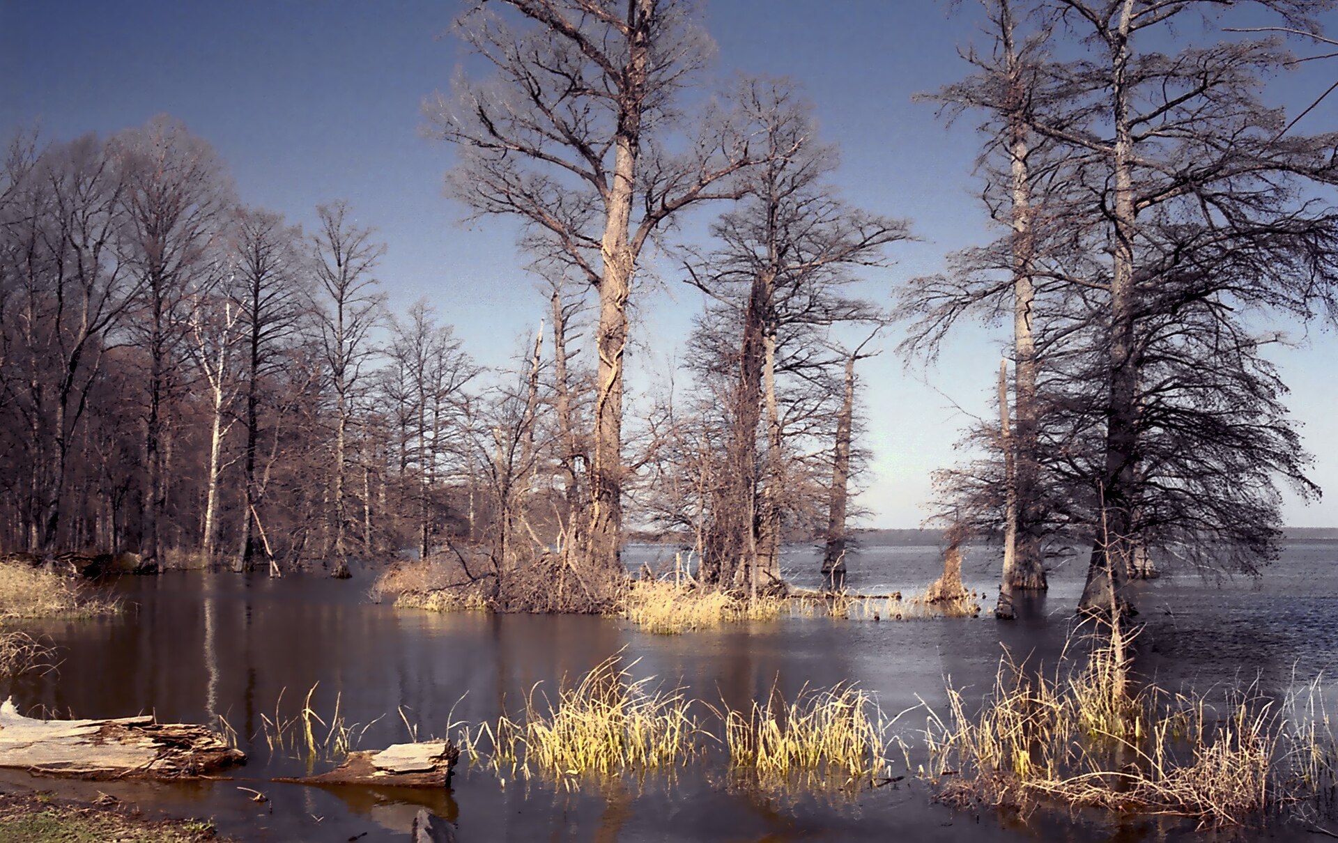
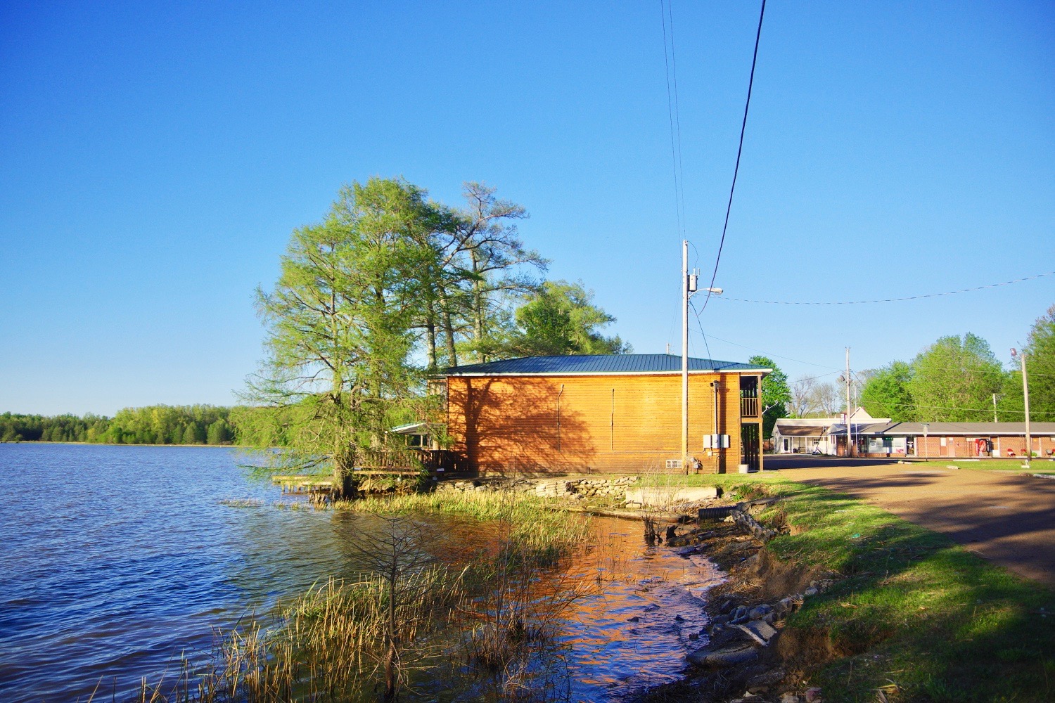
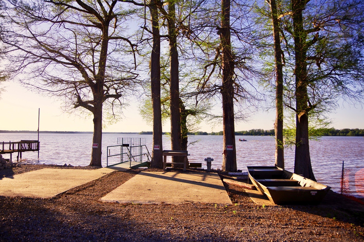
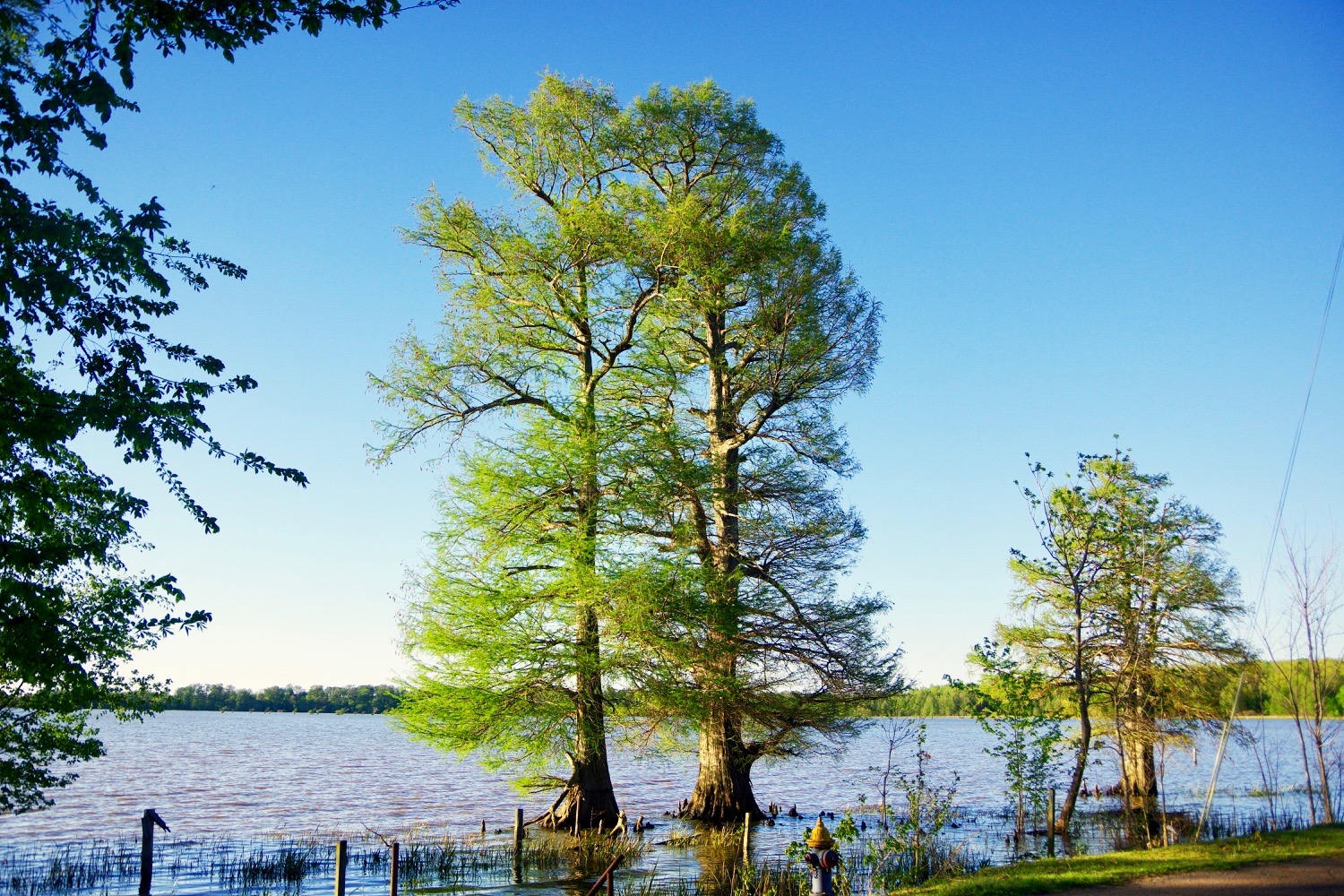
Highway 89 Boat Ramp water holds largemouth bass, crappie, bluegill, yellow bass.
Other water close by
Other fishing near Highway 89 Boat Ramp
Public access on other water within 20 miles of Highway 89 Boat Ramp, including Gooch Unit E Lake, Obion River and Gooch WMA. Handy when the wind is wrong on South Fork of the Obion River or the ramp is busy.
Bait on the way
Bait and tackle near Highway 89 Boat Ramp
The closest shops to Highway 89 Boat Ramp that this site has checked. Worms Sporting Goods in Gleason is nearest, about 21 miles away. Call ahead in winter, when smaller shops cut their hours.
Your turn
Rate and review Highway 89 Boat Ramp
1. Tap your stars
2. Add a few words if you like
What visitors say
Loading visitor ratings
Where to next
Around Highway 89 Boat Ramp
Highway 89 Boat Ramp is one access point. These pages cover the rest of the water and the rest of the county.