95 Counties · 1,002 Public Access Points · 78 Lakes and RiversTennessee state record fish

Middle Tennessee · County seat Murfreesboro

Fishing in Rutherford County, Tennessee

J. Percy Priest Lake, Stones River. Where to launch, where to fish from the bank, and where to buy what you forgot.

Every public access point

Fishing access in Rutherford County

15 public access points in Rutherford County: 11 boat launches, 1 fishing pier, 3 paddling accesses and 1 marina. Each one opens its own page with written directions, coordinates and a link straight to Google Maps.

Tap a pin for the spot page and directions. Open the full Tennessee fishing map.

J. Percy Priest Lake 11 in Rutherford County

Free4 out of 5facilitiesBoat Launch · USACEStewarts Creek1 ramp, 2 lanesfishing piercanoe / kayak landingDirections and detail →36.03268, -86.49382Launch fee3.5 out of 5facilitiesBoat Launch · OtherBryant’s Grove1 ramp, 2 lanescanoe / kayak landingDirections and detail →36.07370, -86.51840Free3.5 out of 5facilitiesBoat Launch · OtherEast Fork Boat Ramp1 ramp, 2 lanesrestroomsDirections and detail →35.98130, -86.44550Free2.5 out of 5facilitiesBoat Launch · USACEFall Creek840 to 452 to Mona Rd1 ramp, 1 laneDirections and detail →36.01760, -86.44710Free4.5 out of 5facilitiesMarina · OtherFate Sanders Marina1 ramp, 2 lanesrestroomsrentalsDirections and detail →36.04270, -86.49450Free3 out of 5facilitiesBoat Launch · OtherJefferson Springs1 ramp, 2 lanesDirections and detail →36.00170, -86.47230Free2.5 out of 5facilitiesBoat Launch · USACEMona Boat RampW. Jefferson Pike1 ramp, 1 laneDirections and detail →35.97890, -86.41850Free3.5 out of 5facilitiesBoat Launch · USACEPoole’s Knob Recreation Area1 ramp, 2 lanescanoe / kayak landingaccessible parkingDirections and detail →36.05463, -86.51103Free2.5 out of 5facilitiesBoat Launch · USACEWest ForkFlorence Rd1 ramp, 1 laneDirections and detail →35.98066, -86.46940Fee not listed1 out of 5facilitiesBoat LaunchJ. Percy Priest Lake Boat LaunchDirections and detail →36.03740, -86.47435Fee not listed1.5 out of 5facilitiesBoat LaunchPoole’s Knob CampgroundDirections and detail →36.05368, -86.51889

East Fork Stones River 1 in Rutherford County

West Fork Stones River 3 in Rutherford County

What to bring

What to bring fishing in Rutherford County

Three picks from the largemouth bass checklist that work for the fish here. Affiliate links: buying through them pays this site a small commission at no extra cost to you.

RodUgly Stik GX2 7 ft medium-heavy casting rodStiff enough to set a hook in grass, tough enough to live in a truck bed.Shop on Amazon →Why it is on the list
ReelAbu Garcia Black Max baitcasting reelAn inexpensive baitcaster that casts cleanly once the brakes are set.Shop on Amazon →Why it is on the list
Soft plasticZoom Trick WormThe Tennessee standard on a Texas rig or weightless along docks and grass edges.Shop on Amazon →Why it is on the list

Spending more? The bigger purchases, compared side by side:

Rutherford County at a glance

Rutherford County boat ramps and fishing access

Rutherford County has 15 public fishing access points: 11 boat ramps, 1 fishing pier, 1 marina and 3 kayak launches, on 3 lakes, rivers and creeks.

11boat ramps
1fishing pier
1marina
3kayak launches
3lakes, rivers and creeks

The big water in Rutherford

Main fishing waters in Rutherford County

What each of these is actually known for, and what you can expect to catch.

USACE reservoir · 14,200 acres · US Army Corps of Engineers, impounded 1969

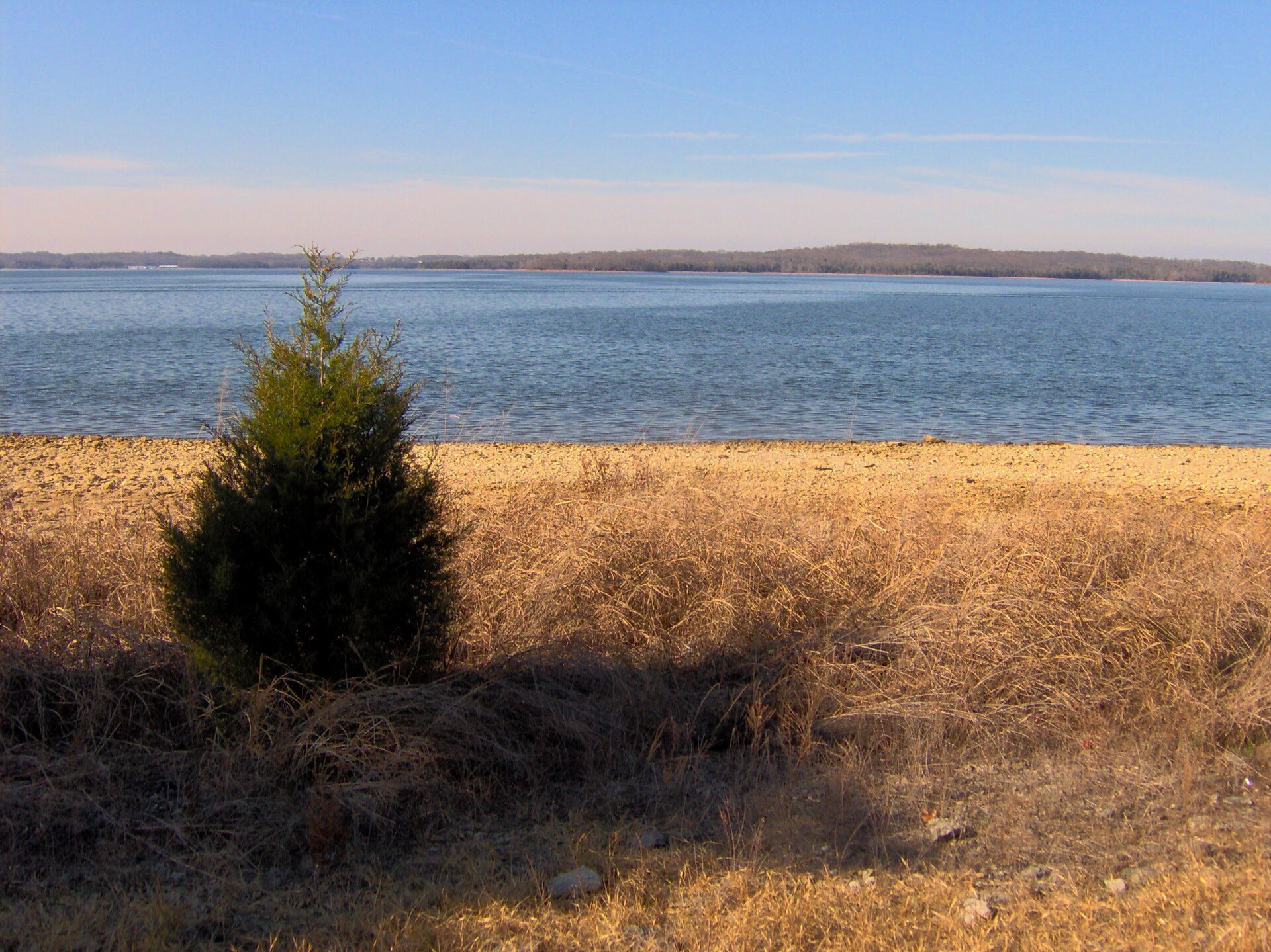
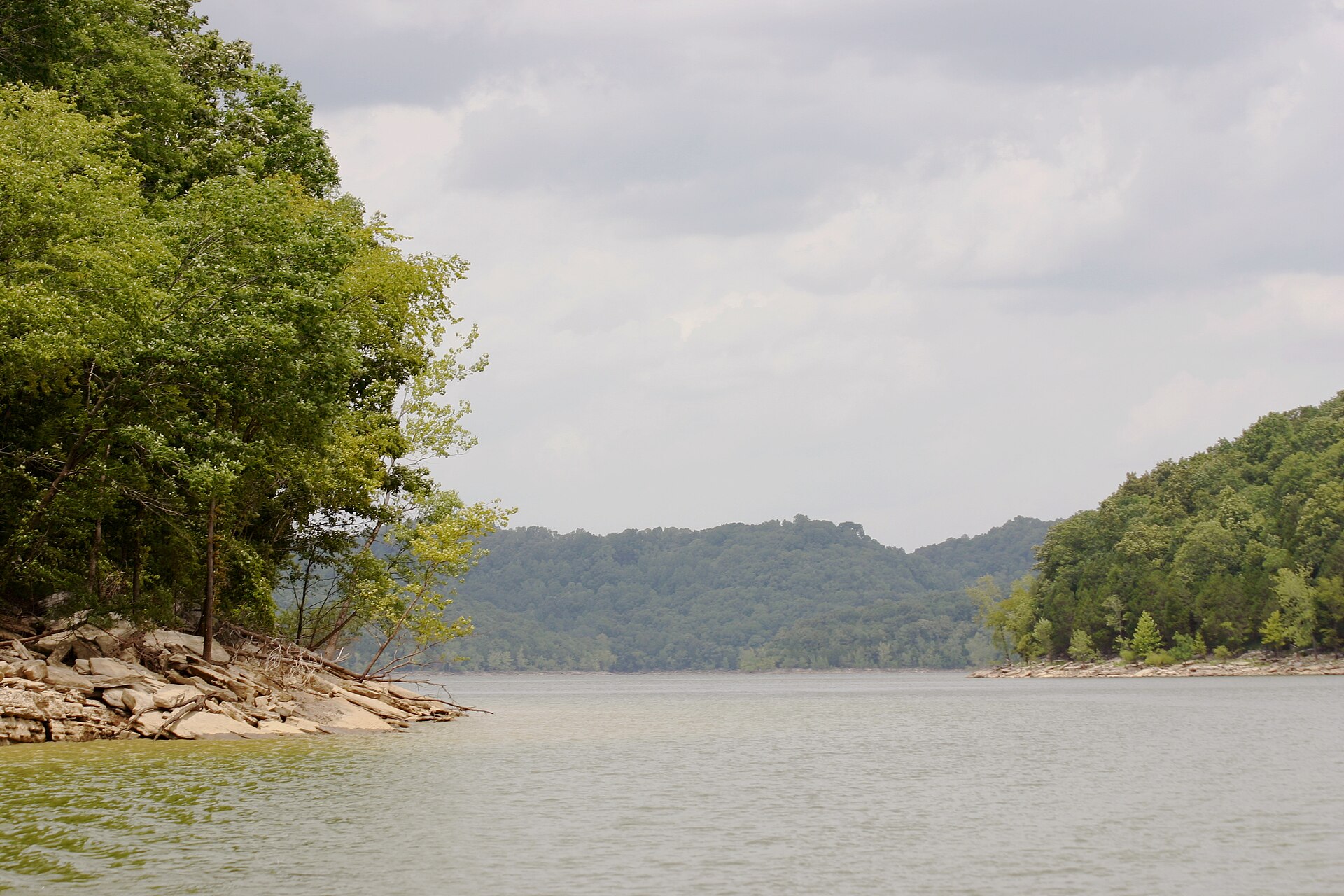
J. Percy Priest Lake

Rutherford County holds the upper, shallower, more riverine end of the lake, where the spring crappie and white bass runs push up the tributaries; the summer hybrid striper fishing is concentrated at the lower Davidson County end around 18–19 feet.

largemouth basscrappiehybrid striped bass (Cherokee bass)white bass
free-flowing river, three forks · East Fork 54 mi, West Fork 39.1 mi, Middle Fork 19.8 mi ·…

Stones River

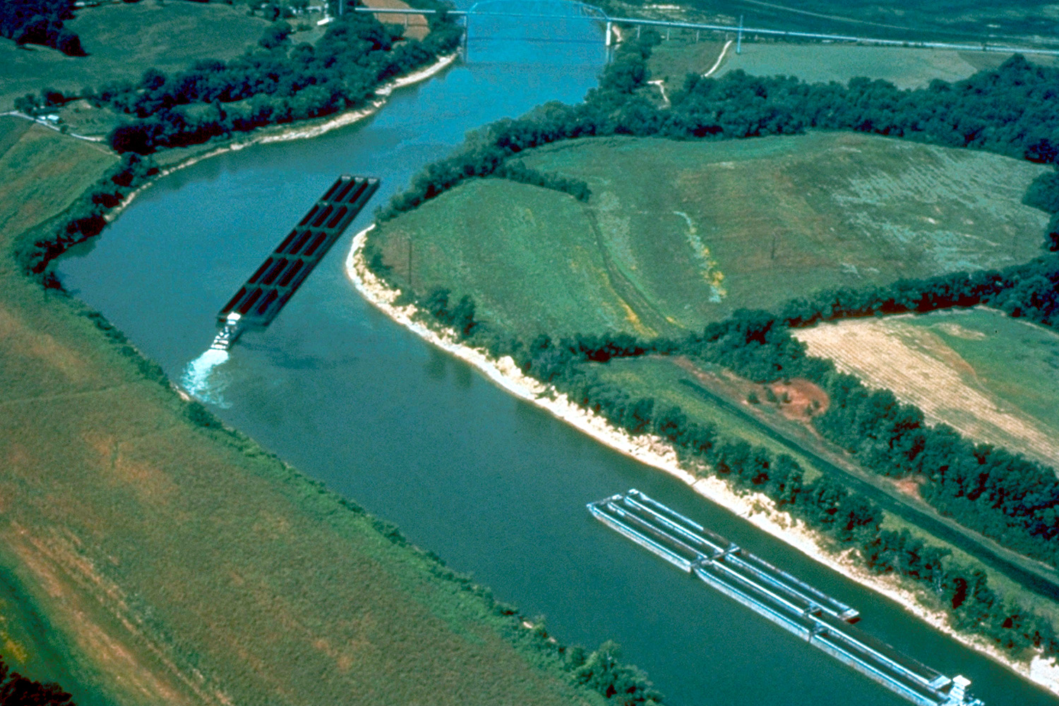
All three forks rise in or near Rutherford County and converge before entering Percy Priest; this is a Nashville-Basin limestone river running over bedrock shelves and gravel, and it holds two state records.

smallmouth bassrock basslargemouthsunfish

No boat, or your own boat

Bank fishing and launching in Rutherford County

Fishing from the bank in Rutherford County

Stewart Creek at Smyrna, an enhanced bank fishing site purpose-built for shore anglers and the best answer in the county for someone without a boat. The Murfreesboro Greenway along the West Fork, 12 miles of paved path with 11 trailheads, much of it river-side. Walter Hill Dam.

Fate Sanders and Jefferson Springs recreation areas. The East Fork ramp area. Old Fort Park and Barfield Crescent Park for river access. Stones River National Battlefield.

Getting a boat on the water in Rutherford County

Percy Priest is the boating water, with 15 free public boat ramps and five marinas lake-wide; the Rutherford-side launches include Fate Sanders, Jefferson Springs, East Fork, Poole Knobs and Lamar Hill, and Fate Sanders Marina is on this end. TWRA maintains 132 fish attractors on the lake.

No blanket horsepower rule, with no-wake zones around marinas, the dam and recreation areas. The Stones River forks above the lake are kayak and wade water; the Greenway corridor on the West Fork is a genuine urban paddling run. Below Priest Dam, access varies with discharge and security conditions.

Two different trips

Visiting Rutherford County versus fishing it like a local

Where visitors get pointed in Rutherford County

Stones River National Battlefield, with its museum, national cemetery and Fortress Rosecrans earthworks; the Murfreesboro Greenway system, with a 173-mile expansion of greenways, bikeways and blueways approved in 2013; Percy Priest Lake recreation areas and campgrounds; Cannonsburgh Village; Middle Tennessee State University; the cedar glade state natural areas, which are ecologically significant and several of which are in this county.

Where Rutherford County locals actually go

Stewart Creek at Smyrna, which is a maintained bank fishing site that most people drive past. The East Fork Stones River above the lake, which produced two Class B state records and is fished mostly by bowfishers and locals. Walter Hill Dam on the East Fork.

The West Fork through the Greenway corridor, where you can fish an urban smallmouth river on foot from eleven different trailheads. Lytle Creek downtown. The upper Middle Fork near Hoovers Gap.

Rules and record fish

Limits and records for Rutherford County water

Creel and length limits in Rutherford County

J. Percy Priest, largemouth 15-inch minimum, smallmouth 18-inch minimum, crappie 30 per day with a 10-inch minimum (double the usual Tennessee crappie limit and worth calling out), striped and hybrid striped bass 2 per day combined with a 15-inch minimum.

On the Stones River from its confluence with the Cumberland upstream to J. Percy Priest Dam, Cheatham Reservoir regulations apply, that reach is in Davidson County, below the dam, not in Rutherford.

The Stones River forks above the lake fall under statewide limits. If the Manson Pike winter trout stocking is confirmed, statewide trout rules apply, seven per day, no minimum length.

State record fish from Rutherford County water

Cherokee (hybrid) bass, 23 lb 3 oz, Stones River, Ray Pelfrey, 17 April 1998. Rock bass, 2 lb 8 oz, Stones River, Bill Sanford, 1958. Bigmouth buffalo, 62 lb, J. Percy Priest Reservoir, Jeff Wilkins, 1 April 2010.

Smallmouth buffalo, 62 lb 7 oz, Percy Priest Reservoir, Jerry W. Young, 28 April 2001. Class B: golden redhorse, 3 lb 2 oz, archery, East Fork Stones River, Josh Melton, 5 April 2023; smallmouth redhorse, 1 lb 12 oz, archery, Stones River East Fork, Josh Melton, 3 April 2022; bigmouth buffalo, 59 lb 7 oz, archery, J. Percy Priest Reservoir, Brett J.

Dennison, 2 May 2013; silver redhorse, 8 lb 5.5 oz, archery, Stones River below Priest Dam, Landon Morris, 8 June 2023. This is a strong records county, particularly for rough fish and bowfishing.

11 public boat launches in Rutherford County, counted from TWRA’s own access database.

Questions people actually ask

Rutherford County fishing questions

Where can I fish from the bank in Rutherford County?

Stewart Creek at Smyrna, an enhanced bank fishing site purpose-built for shore anglers and the best answer in the county for someone without a boat. The Murfreesboro Greenway along the West Fork, 12 miles of paved path with 11 trailheads, much of it river-side. Walter Hill Dam. Fate Sanders and Jefferson Springs recreation areas. The East Fork ramp area. Old Fort Park and Barfield Crescent Park for river access. Stones River National Battlefield.. Rutherford County has 1 public fishing pier listed in TWRA’s access database.

How many public boat ramps are in Rutherford County?

TWRA’s access database lists 11 boat launches in Rutherford County, plus 1 marina. Most of them are on J. Percy Priest Lake. Every one is listed further up this page with its owner and lane count.

Do I need a fishing license to fish in Rutherford County?

Yes. Anyone 13 and over needs a Tennessee fishing license, and there is no license required for ages 12 and under. A resident annual combination hunt and fish license is $33, a resident one-day all-species license is $11, and a non-resident three-day all-species license is $40. Tennessee has no non-resident one-day license. Buy online at gooutdoorstennessee.com, from a county clerk or from a licensed agent. Licenses are digital, nothing arrives in the post.

What fish can you catch in Rutherford County?

The main species across Rutherford County water are largemouth bass, smallmouth bass, crappie, bluegill, rock bass, hybrid striped bass, white bass and catfish. Each water body on the fishing spots page lists what it is actually known for, which is not always the same thing.

Does my Tennessee license cover trout in Rutherford County?

Not automatically. The $33 resident combination hunt and fish license does not cover trout, and neither does the county-of-residence license or the cheaper no-trout short-term options. Those need the $21 annual trout supplemental added on. The Sportsman licenses and every non-resident all-species license already include trout. There is no designated trout water in Rutherford County, but it is worth knowing before you drive to a tailwater elsewhere in the state.

What are the creel limits in Rutherford County?

J. Percy Priest, largemouth 15-inch minimum, smallmouth 18-inch minimum, crappie 30 per day with a 10-inch minimum (double the usual Tennessee crappie limit and worth calling out), striped and hybrid striped bass 2 per day combined with a 15-inch minimum On the Stones River from its confluence with the Cumberland upstream to J Always check the current TWRA guide before you keep anything, because water-specific exceptions change.

Where can I buy bait and tackle in Rutherford County?

Murfreesboro is a large city with full big-box and chain sporting goods retail, and Academy Sports and Outdoors operates there, that is the reliable answer for the county. Nashville, 35 minutes north-west, has large-format outdoor retail. Fate Sanders Marina on the Rutherford side of Percy Priest is the on-water option.. There is a fuller list on the Rutherford County gear page, including anywhere renting boats or kayaks and the nearest big-box store.

Where do locals fish in Rutherford County?

Stewart Creek at Smyrna, which is a maintained bank fishing site that most people drive past. The East Fork Stones River above the lake, which produced two Class B state records and is fished mostly by bowfishers and locals. Walter Hill Dam on the East Fork. The West Fork through the Greenway corridor, where you can fish an urban smallmouth river on foot from eleven different trailheads. Lytle Creek downtown. The upper Middle Fork near Hoovers Gap.

The water itself

Lakes and rivers in Rutherford County

Each of these has a page of its own covering the whole water, not just the Rutherford County end of it, with every public access point on it and what it holds.

Rutherford County water holds largemouth bass, smallmouth bass, crappie, bluegill.

Statewide limits: 5 black bass, 15 crappie at 10 inches, 2 stripers at 15 inches, 7 trout.

About this list

Where the Rutherford County access list comes from

The 15 access points above come from the Tennessee Wildlife Resources Agency’s public access database, which is why each one names the agency that owns or manages it. A state or TVA ramp is usually free. A Corps of Engineers site, a state park ramp or a marina often is not.

The waters, species and local notes are researched separately, county by county, against TWRA’s own reservoir pages, TVA, the US Army Corps of Engineers and Tennessee State Parks.

Ramps close for repairs, gravel roads wash out and regulations change. Treat anything here as a starting point and call ahead if you are driving a long way for it.

By town instead

Towns near Rutherford County

These pages measure from the middle of town rather than the county line, which is usually the number you actually care about.

1 public fishing pier in Rutherford County, no boat needed.

Keep going

More Rutherford County water, and who fishes it

Every guide and charter on this site is listed by the water they run, so you can call the captain direct. Licences, limits and the state record list are one click away too.

Weather alerts, power outages and road closures in Rutherford County right now: Rutherford County conditions.