95 Counties · 1,002 Public Access Points · 78 Lakes and RiversTennessee state record fish

Middle Tennessee · County seat Nashville

Fishing in Davidson County, Tennessee

Davidson County is thin on public water. This page lists what there is, then points at what is close.

Every public access point

Fishing access in Davidson County

43 public access points in Davidson County: 21 boat launches, 3 fishing piers, 13 designated fishing sites and 9 marinas. Each one opens its own page with written directions, coordinates and a link straight to Google Maps.

Tap a pin for the spot page and directions. Open the full Tennessee fishing map.

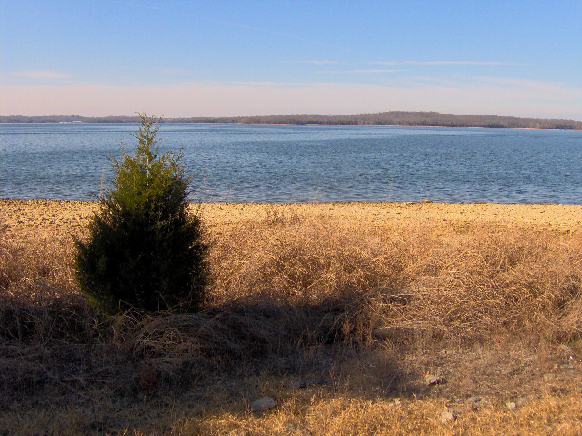
J. Percy Priest Lake 20 in Davidson County

Free4 out of 5facilitiesBoat Launch · USACECook Recreation AreaI-40 to exit 221, OH Blvd to Bell Rd, Bell Rd to South New Hope Rd1 ramp, 2 lanesfishing pieraccessible parkingDirections and detail →36.13189, -86.59539Launch fee3 out of 5facilitiesBoat Launch · USACEAnderson Boat Ramp1 ramp, 1 lanecanoe / kayak landingaccessible parkingDirections and detail →36.10610, -86.59500Launch fee5 out of 5facilitiesMarina · MarinaElm Hill MarinaI-40 to Stewarts Ferry, proceed to marina2 ramps, 2 lanescanoe / kayak landingrestroomsrentalsaccessible parkingDirections and detail →36.13370, -86.62230Launch fee4 out of 5facilitiesBoat Launch · USACEElm Hill Park Access1 ramp, 2 lanescanoe / kayak landingrestroomsaccessible parkingDirections and detail →36.13030, -86.62080Launch fee5 out of 5facilitiesMarina · MarinaFour Corners Boat & MarinaI-40 to Mt Juliet exit, South on 171 to Hamilton Church Road, left at light1 ramp, 3 lanescanoe / kayak landingrestroomsrentalsaccessible parkingDirections and detail →36.05150, -86.56660Free3 out of 5facilitiesBoat Launch · USACEHamilton Creek Boat RampOff of Bell Rd turn onto Hamilton Creek Rd, go straight to very back1 ramp, 2 lanesDirections and detail →36.11039, -86.61809Launch fee4 out of 5facilitiesMarina · USACEHamilton Creek Marina1 ramp, 2 lanescanoe / kayak landingrestroomsaccessible parkingDirections and detail →36.12750, -86.62140Free3.5 out of 5facilitiesBoat Launch · USACEHurricane Creek1 ramp, 2 lanesDirections and detail →36.04972, -86.56239Free3.5 out of 5facilitiesBoat Launch · USACELong Hunter Boat Ramp1 ramp, 2 lanescanoe / kayak landingDirections and detail →36.08990, -86.54580Free4 out of 5facilitiesMarina · USACENashville Shores Yacht Club and MarinaI-40 to exit 221,OH Blvd to Bell Rd, right to entrance1 ramp, 2 lanescanoe / kayak landingDirections and detail →36.16110, -86.60820Free3.5 out of 5facilitiesMarina · USACEPercy Priest Marina and Yacht Club1 ramp, 3 lanesrestroomsDirections and detail →36.11160, -86.62270Free3.5 out of 5facilitiesBoat Launch · USACESeven Points Boat Ramp1 ramp, 2 lanesaccessible parkingDirections and detail →36.13170, -86.56510Launch fee4 out of 5facilitiesBoat Launch · USACESeven Points Rec. Area CampgroundI-40 to exit 221, OH Blvd to Bell Rd to South New Hope Road1 ramp, 2 lanesrestroomsDirections and detail →36.13080, -86.57460Free3.5 out of 5facilitiesBoat Launch · USACESmith’s Spring Park1 ramp, 2 lanescanoe / kayak landingaccessible parkingDirections and detail →36.10970, -86.60940Launch fee2 out of 5facilitiesFishing Site · USACEElm Hill Recreation AreaI-40 to Stewart’s Ferry Rd, Stewart’s Ferry to Elm Hill Rec ArearestroomsDirections and detail →36.12636, -86.62458Free2.5 out of 5facilitiesFishing Site · USACEHamilton CreekI-40 to Stewart’s Ferry Rd, then to Hamilton Creekrestroomsaccessible parkingDirections and detail →36.10471, -86.62426Fee not listed1 out of 5facilitiesBoat LaunchJ. Percy Priest Lake Boat LaunchDirections and detail →36.16101, -86.60821Free1.5 out of 5facilitiesFishing Site · USACEJ. Percy Priest Resource CenterI-40 to Stewart’s Ferry exit, Bell Rdaccessible parkingDirections and detail →36.15383, -86.62129Launch fee3 out of 5facilitiesFishing Site · USACENashville Shores Water ParkI-40 to exit 221, OH Blvd to Bell rd, right to entrancecanoe / kayak landingrestroomsrentalsaccessible parkingDirections and detail →36.15754, -86.60596Free1.5 out of 5facilitiesFishing Site · USACENashville Shores side Percy Priest DamI-40 to exit 221, OH Blvd to Bell Rd, right to Damaccessible parkingDirections and detail →36.15892, -86.61488

Marrowbone Lake 1 in Davidson County

Old Hickory Lake 4 in Davidson County

Cheatham Lake 6 in Davidson County

Cumberland River 4 in Davidson County

Stones River 4 in Davidson County

Cedar Hill Park Pond 1 in Davidson County

Harpeth River 2 in Davidson County

Whites Creek 1 in Davidson County

What to bring

What to bring fishing in Davidson County

Three picks from the largemouth bass checklist that work for the fish here. Affiliate links: buying through them pays this site a small commission at no extra cost to you.

RodUgly Stik GX2 7 ft medium-heavy casting rodStiff enough to set a hook in grass, tough enough to live in a truck bed.Shop on Amazon →Why it is on the list
ReelAbu Garcia Black Max baitcasting reelAn inexpensive baitcaster that casts cleanly once the brakes are set.Shop on Amazon →Why it is on the list
Soft plasticZoom Trick WormThe Tennessee standard on a Texas rig or weightless along docks and grass edges.Shop on Amazon →Why it is on the list

Spending more? The bigger purchases, compared side by side:

Davidson County at a glance

Davidson County boat ramps and fishing access

Davidson County has 43 public fishing access points: 21 boat ramps, 3 fishing piers and 9 marinas, on 9 lakes, rivers and creeks.

21boat ramps
3fishing piers
9marinas
9lakes, rivers and creeks

The big water in Davidson

Main fishing waters in Davidson County

What each of these is actually known for, and what you can expect to catch.

reservoir · 14,200 acres, full pool 1969 · US Army Corps of Engineers (Nashville District),…

J. Percy Priest Lake

Summer hybrids stack in the lower reservoir around 18–19 ft and are the signature fishery; TWRA maintains roughly 132 fish attractors and there are 15 free public ramps and 5 marinas, so it is the most infrastructure-rich water in the county.

largemouth basscrappiehybrid striped bass (Cherokee bass)white bass
reservoir · 22,500 acres, completed 1954 · US Army Corps of Engineers

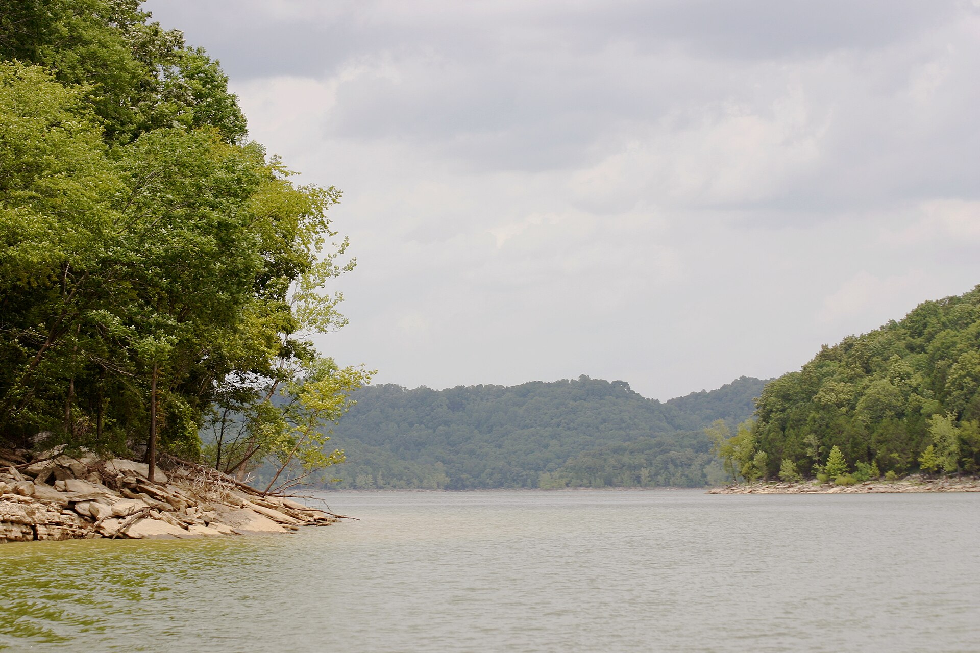
Old Hickory Lake

TWRA describes it as a world-class trophy striped bass fishery with regular catches over 50 pounds; 44 free public access sites, 11 marinas and 8 fishing piers lakewide, though the biggest stripers are usually taken well upstream of Davidson County near Carthage.

striped basslargemouthsmallmouthcrappie
reservoir (riverine) · 7,450 acres, completed 1952 · US Army Corps of Engineers

Cheatham Lake

This is the Cumberland River as it runs through downtown Nashville and on to Ashland City, 16 free ramps, two marinas, and the winter sauger bite below Old Hickory and Percy Priest dams is the standout.

largemouthwhite crappiesaugerwalleye
river · USACE navigation pool (Cheatham and Old Hickory)

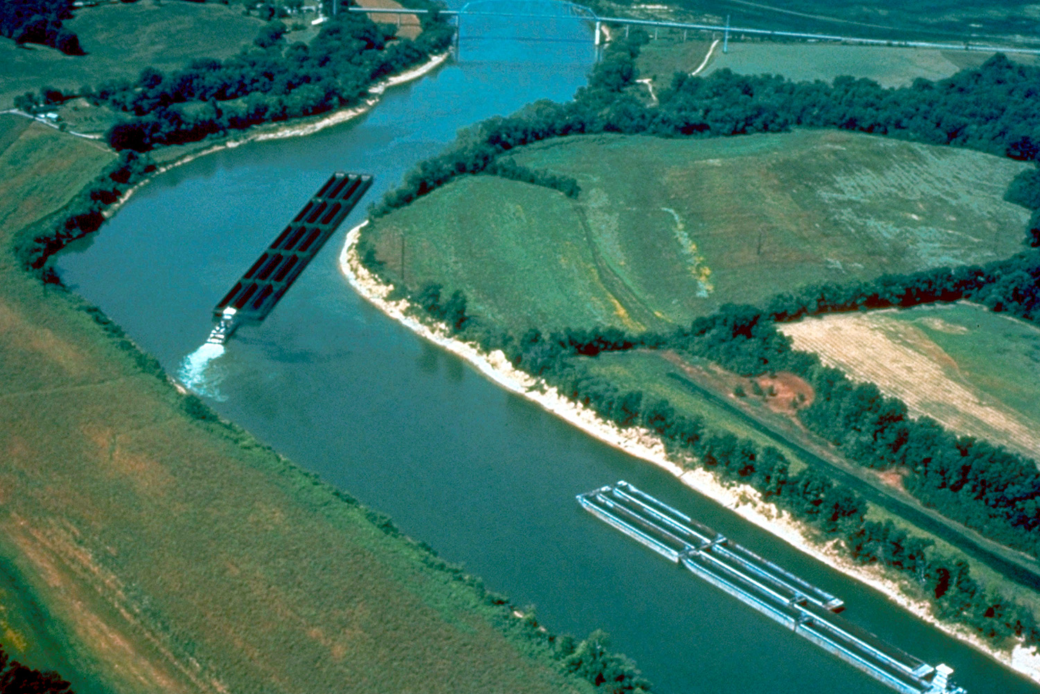
Cumberland River

The urban stretch through Nashville is genuinely productive, big blue catfish and spring skipjack below the dams, and much of it is fishable from downtown greenway bank.

catfish (bluechannelflathead)striped bass
river · USACE/TWRA

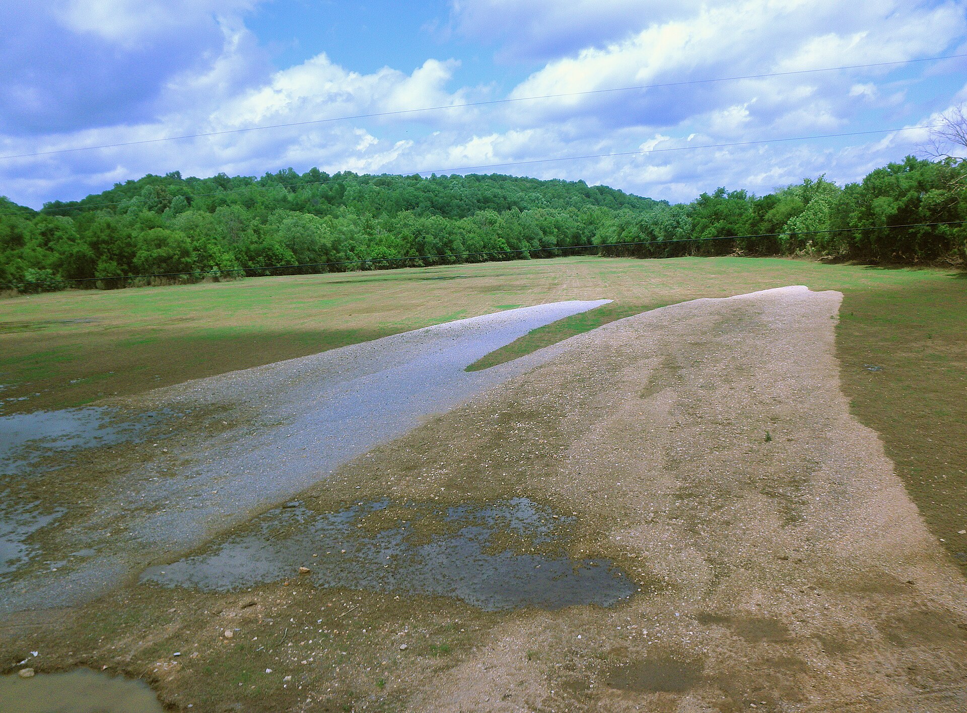
Stones River

Enters Percy Priest from Rutherford County; the lower river and the Percy Priest tailwater below the dam are the Davidson County portions.

largemouthsmallmouthrock basscatfish

The ones nobody writes about

Small and out-of-the-way water in Davidson County

County lakes, park ponds, creeks and river stretches in Davidson County that never make a best-of list. Several of them fish better than the famous water on a busy weekend.

TWRA agency/family fishing lake · 60 acres

Marrowbone Lake

Near Joelton about 15 miles north of downtown; trolling-motor-only, with a ramp, a fishing pier and an on-site bait and tackle shop, lake office 615-410-6193

largemouth basscrappiebluegill
park lake and Cumberland River frontage

Shelby Bottoms / Shelby Park (Lake Sevier)

Shelby Bottoms is on TWRA’s winter trout stocking list, which makes it a real cold-weather city fishery rather than just a greenway.

bassbreamcatfish
city pond

Cedar Hill Park Pond

Also on the TWRA winter trout stocking schedule.

breamcatfishstocked rainbow trout
tailwater

J. Percy Priest Tailwater

Stocked with trout in winter, and the sauger concentration below the dam from January to March is the best cold-water bite in Davidson County.

saugerwalleyestriped bass
park pond · small

Willow Pond, Percy Warner Park

Off Highway 100.

breambass
park lake · small

Lake Watauga, Centennial Park

Urban, heavily pressured, good for kids.

breamcatfish
creek

Little Harpeth River, Edwin Warner Park

Off Vaughn Road, with multiple fishing holes along the river.

rock basssunfishsmall smallmouth
urban creeks

Mill Creek and Richland Creek

Greenway access in several places; genuinely fishable and almost entirely overlooked.

sunfishrock basssmall bass

No boat, or your own boat

Bank fishing and launching in Davidson County

Fishing from the bank in Davidson County

Stewart Creek enhanced bank fishing site (Smyrna, Rutherford Co. but the flagship Percy Priest shore site, full-size pier plus five large fishing platforms linked by paved greenway); Vivrette Creek enhanced bank fishing site (Davidson Co., full-size pier, a fishing jetty and four smaller platforms on a paved path); the Percy Priest dam tailwater bank; the Old Hickory dam tailwater bank; Shelby Park and Shelby Bottoms Greenway along the Cumberland; Peeler Park; Cumberland River Greenway and Riverfront Park downtown; Two Rivers Park at the Stones/Cumberland confluence; Cedar Hill Park pond; Centennial Park’s Lake Watauga; Willow Pond at Percy Warner Park; Little Harpeth River in Edwin Warner Park; Marrowbone Lake pier

Getting a boat on the water in Davidson County

Nashville has more launching options than any county on this list. Percy Priest alone has 15 free ramps and five marinas (Elm Hill, Four Corners, Fate Sanders, Hamilton Creek, Nashville Shores) offering fuel, food and rentals.

Old Hickory has 44 free access sites and 11 marinas lakewide. Cheatham has 16 free ramps plus Rock Harbor Marina and Commodore Yacht Club. Hamilton Creek on Percy Priest is the established sailing and small-craft venue.

No-wake zones apply near all three dams, in marina basins and in the Percy Priest island/campsite areas, check the current USACE posting. Paddling: the Harpeth River (western Davidson into Cheatham County) is the best-known local canoe run; Mill Creek and the Stones River below the dam are both paddleable; Shelby Bottoms and Peeler Park both take canoes and kayaks onto the Cumberland.

Two different trips

Visiting Davidson County versus fishing it like a local

Where visitors get pointed in Davidson County

J. Percy Priest Lake (Long Hunter State Park, Hamilton Creek, Seven Points, Nashville Shores); Old Hickory Lake; Shelby Bottoms Nature Center and Greenway; Two Rivers Park; Cumberland River Greenway and Riverfront Park; Radnor Lake State Natural Area (note: no fishing permitted at Radnor, it is a natural area, and this trips up visitors constantly); Marrowbone Lake for a quiet half-day

Where Davidson County locals actually go

Marrowbone Lake near Joelton, a 60-acre TWRA lake with its own bait shop, 15 minutes from the interstate, that most Nashville anglers have never fished. The Percy Priest tailwater in winter for sauger.

Vivrette Creek’s pier and jetty complex, which is far less used than Stewart Creek. The Little Harpeth in Edwin Warner Park for small stream rock bass. Mill Creek greenway access points in Antioch and Woodbine.

The Stones River at Heartland Drive, a gravel-lot ramp almost nobody uses. Lock Two Access on Pennington Bend for Cumberland River catfish.

Rules and record fish

Limits and records for Davidson County water

Creel and length limits in Davidson County

The three reservoirs have genuinely different bass rules and this catches people out. Percy Priest: largemouth 5/day, 15-inch minimum; crappie 30/day, 10-inch minimum; hybrid striped bass 2/day, 15-inch minimum; catfish unlimited under 34 inches, one over.

Old Hickory: black bass 5/day combined but largemouth at a 14-inch minimum and smallmouth at 18 inches; crappie 30/day, 10-inch minimum; sauger 10/day, 15-inch minimum; walleye 5/day, 16-inch minimum; striped bass 2/day, 15-inch minimum. Cheatham: largemouth 14-inch minimum, smallmouth 18-inch, crappie 30/day at 10 inches.

Marrowbone Lake runs agency-lake rules: largemouth 5/day with a 14–18 inch protected length range and one fish over 18 inches permitted, bluegill unlimited, redear 20/day, crappie 15/day at 10 inches, catfish 5/day, trout 7/day. Trout regulations and the trout licence requirement apply seasonally at Shelby Bottoms, Marrowbone Lake, Cedar Hill Park Pond and the J.

Percy Priest tailwater, all of which are on the TWRA winter rainbow trout stocking schedule. Fishing is not permitted at Radnor Lake State Natural Area. Consumption advisories apply to some Cumberland River species, check the current TDEC advisory list before publishing.

State record fish from Davidson County water

Tennessee state record bigmouth buffalo, 62 lb, Jeff Wilkins, 1 Apr 2010, J. Percy Priest Reservoir. Tennessee state record smallmouth buffalo, 62 lb 7 oz, Jerry Young, 28 Apr 2001, J. Percy Priest Reservoir.

Tennessee state record walleye, 25 lb, Mabry Harper, 3 Aug 1960, Old Hickory Reservoir (41 inches long, 29-inch girth; struck from the Freshwater Fishing Hall of Fame in 1996 and reinstated in 2019 after game-warden affidavits and previously unseen photographs surfaced; the IGFA never removed it). Tennessee state record silver carp, 37 lb 0.4 oz, Brian Townsend, 8 May 2021, Old Hickory.

Tennessee state record American eel, 8 lb 14 oz, Jason Wilson, 27 Jul 2019, Old Hickory. Tennessee state record Cherokee (hybrid striped) bass, 23 lb 3 oz, Ray Pelfrey, 17 Apr 1998, Stones River.

21 public boat launches in Davidson County, counted from TWRA’s own access database.

Questions people actually ask

Davidson County fishing questions

Where can I fish from the bank in Davidson County?

Stewart Creek enhanced bank fishing site (Smyrna, Rutherford Co. but the flagship Percy Priest shore site, full-size pier plus five large fishing platforms linked by paved greenway). Also vivrette creek enhanced bank fishing site (davidson co., full-size pier, a fishing jetty and four smaller platforms on a paved path), and the percy priest dam tailwater bank. Davidson County has 3 public fishing piers listed in TWRA’s access database.

How many public boat ramps are in Davidson County?

TWRA’s access database lists 21 boat launches in Davidson County, plus 9 marinas. Most of them are on J. Percy Priest Lake. Every one is listed further up this page with its owner and lane count.

Do I need a fishing license to fish in Davidson County?

Yes. Anyone 13 and over needs a Tennessee fishing license, and there is no license required for ages 12 and under. A resident annual combination hunt and fish license is $33, a resident one-day all-species license is $11, and a non-resident three-day all-species license is $40. Tennessee has no non-resident one-day license. Buy online at gooutdoorstennessee.com, from a county clerk or from a licensed agent. Licenses are digital, nothing arrives in the post.

What fish can you catch in Davidson County?

The main species across Davidson County water are largemouth bass, smallmouth bass, crappie, bluegill, redear sunfish, rock bass, striped bass, hybrid striped bass and white bass. Each water body on the fishing spots page lists what it is actually known for, which is not always the same thing.

Does my Tennessee license cover trout in Davidson County?

Not automatically. The $33 resident combination hunt and fish license does not cover trout, and neither does the county-of-residence license or the cheaper no-trout short-term options. Those need the $21 annual trout supplemental added on. The Sportsman licenses and every non-resident all-species license already include trout. There is no designated trout water in Davidson County, but it is worth knowing before you drive to a tailwater elsewhere in the state.

What are the creel limits in Davidson County?

The three reservoirs have genuinely different bass rules and this catches people out. Percy Priest: largemouth 5/day, 15-inch minimum; crappie 30/day, 10-inch minimum; hybrid striped bass 2/day, 15-inch minimum; catfish unlimited under 34 inches, one over Old Hickory: black bass 5/day combined but largemouth at a 14-inch minimum and smallmouth at 18 inches; crappie 30/day, 10-inch minimum; sauger 10/day, 15-inch minimum; walleye 5/day, 16-inch minimum; striped bass 2/day, 15-inch minimum Always check the current TWRA guide before you keep anything, because water-specific exceptions change.

Where can I buy bait and tackle in Davidson County?

Finn’s Tackle Shop, 3676 Bell Rd, Nashville, live bait (minnows, shiners, leeches, worms), frozen and preserved bait, local tackle brands, rod rentals and rod storage. There is a fuller list on the Davidson County gear page, including anywhere renting boats or kayaks and the nearest big-box store.

Where do locals fish in Davidson County?

Marrowbone Lake near Joelton, a 60-acre TWRA lake with its own bait shop, 15 minutes from the interstate, that most Nashville anglers have never fished. The Percy Priest tailwater in winter for sauger. Vivrette Creek’s pier and jetty complex, which is far less used than Stewart Creek. The Little Harpeth in Edwin Warner Park for small stream rock bass. Mill Creek greenway access points in Antioch and Woodbine. The Stones River at Heartland Drive, a gravel-lot ramp almost nobody uses. Lock Two Access on Pennington Bend for Cumberland River catfish.

If the county comes up short

The nearest real fishing to Davidson County

Not applicable, Davidson County has more accessible public water than any other county on this list.

Davidson County water holds largemouth bass, smallmouth bass, crappie, bluegill.

Statewide limits: 5 black bass, 15 crappie at 10 inches, 2 stripers at 15 inches, 7 trout.

About this list

Where the Davidson County access list comes from

The 43 access points above come from the Tennessee Wildlife Resources Agency’s public access database, which is why each one names the agency that owns or manages it. A state or TVA ramp is usually free. A Corps of Engineers site, a state park ramp or a marina often is not.

The waters, species and local notes are researched separately, county by county, against TWRA’s own reservoir pages, TVA, the US Army Corps of Engineers and Tennessee State Parks.

Ramps close for repairs, gravel roads wash out and regulations change. Treat anything here as a starting point and call ahead if you are driving a long way for it.

By town instead

Towns near Davidson County

These pages measure from the middle of town rather than the county line, which is usually the number you actually care about.

3 public fishing piers in Davidson County, no boat needed.

Keep going

More Davidson County water, and who fishes it

Every guide and charter on this site is listed by the water they run, so you can call the captain direct. Licences, limits and the state record list are one click away too.

Weather alerts, power outages and road closures in Davidson County right now: Davidson County conditions.